Manby Hot Springs
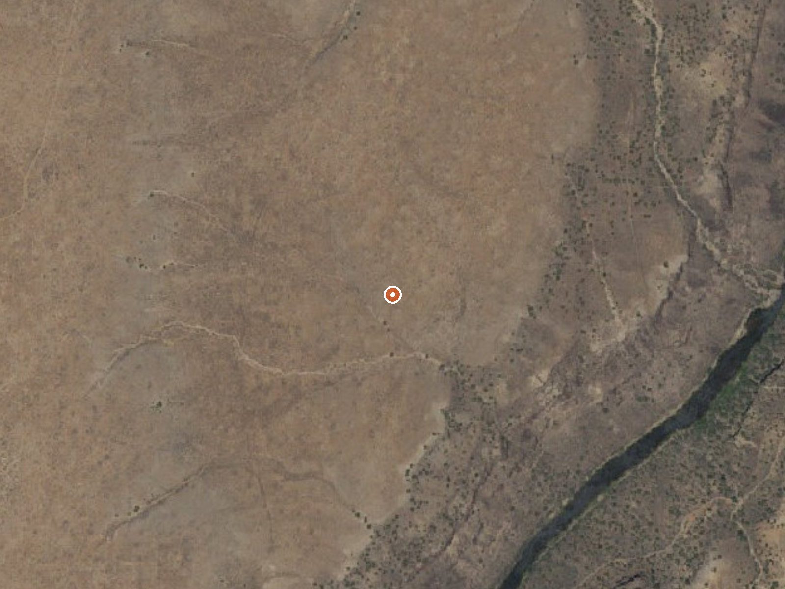
The orange dot marks the spring, in a frame about three quarters of a mile wide.
Manby Hot Springs sits on BLM land in Taos County, a bit under eight miles from Arroyo Seco, and the access status is open. The record gives no temperature, so nobody should promise you a hot soak from this entry. The water sample is recent, 2015, and shows middling mineral content with iron present. Wikipedia knows the place as Stagecoach Hot Springs too.
From the nearest road you walk a bit under half a mile. The Taos Field Office manages this stretch of public land. Elevation is fairly high, well above six thousand feet. Winters bring solid snow, and rainfall over the year is moderate. Average temperature is cool. Las Petacas Campground is about fifteen miles off, the closest camp in the entry.
No best months are set for this spring. Given the snow, the walk in is easier outside winter. Land is BLM and open, so no fee is recorded and no permission is needed, though the road has no name here and the route is not described. No temperature is on record, so test before soaking. The 2015 sample is the newest figure in the entry.
Wikipedia lists the springs under two names, Manby and Stagecoach, and puts them near Arroyo Hondo. It describes water discharging into three rock pools with sandy bottoms, close to the ruins of an old bathhouse and a historical stagecoach stop.
USGS hasn't flown a detailed laser scan here yet, so this view comes from aerial photos and older elevation data.
- Setting
- Open ground
- Flat, open ground all around.
- Highest ground nearby
- 68 ft above the spring
- Within a quarter mile, to the west
A slice through the ground from northwest to southeast, about 0.6 miles end to end.
Elevation data: USGS 3D Elevation Program. Aerial imagery: USGS The National Map. Public domain.
That's about twice the US average of 65. It's higher than at 71% of the springs on this site.
Heat flow measures the warmth working its way up through the ground from deep inside the earth. Where it runs high, rain and snowmelt that seep down through cracks in the rock come back up hot.
See every spring on the geothermal heat map →
Heat flow estimate: Stanford Thermal Earth Model (Aljubran & Horne, 2024), CC BY 4.0.
The water at Manby Hot Springs is neutral (pH 7.2) with 514 mg/L total dissolved solids.
Some links are affiliate links. We may earn a commission at no extra cost to you.
Set in a beautiful canyon quite close to Taos, there is good access to Rio Fernando de Taos for fishing.
Manby Hot Springs sits at 6,610 feet above sea level, way above the mile-high mark. You may not feel the altitude strongly, but hot water still dehydrates you faster at elevation. UV is about 26% stronger than at sea level, so bring sunscreen and drink more water than you normally would.



As an Amazon Associate, we earn from qualifying purchases.
Manby Hot Springs is road-accessible, so you can bring more gear.






As an Amazon Associate, we earn from qualifying purchases.
Springs Near Manby Hot Springs
Neutral Springs (pH ~7.2)
Hike 4 waterfalls near Manby Hot Springs
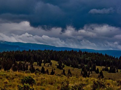
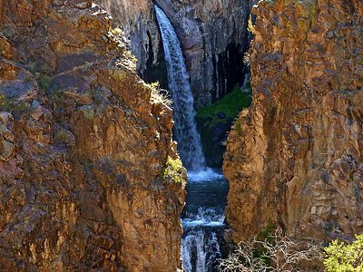
Looking for more outdoor adventures? Explore waterfall hikes near Manby Hot Springs, New Mexico.