Unnamed Thermal Spring
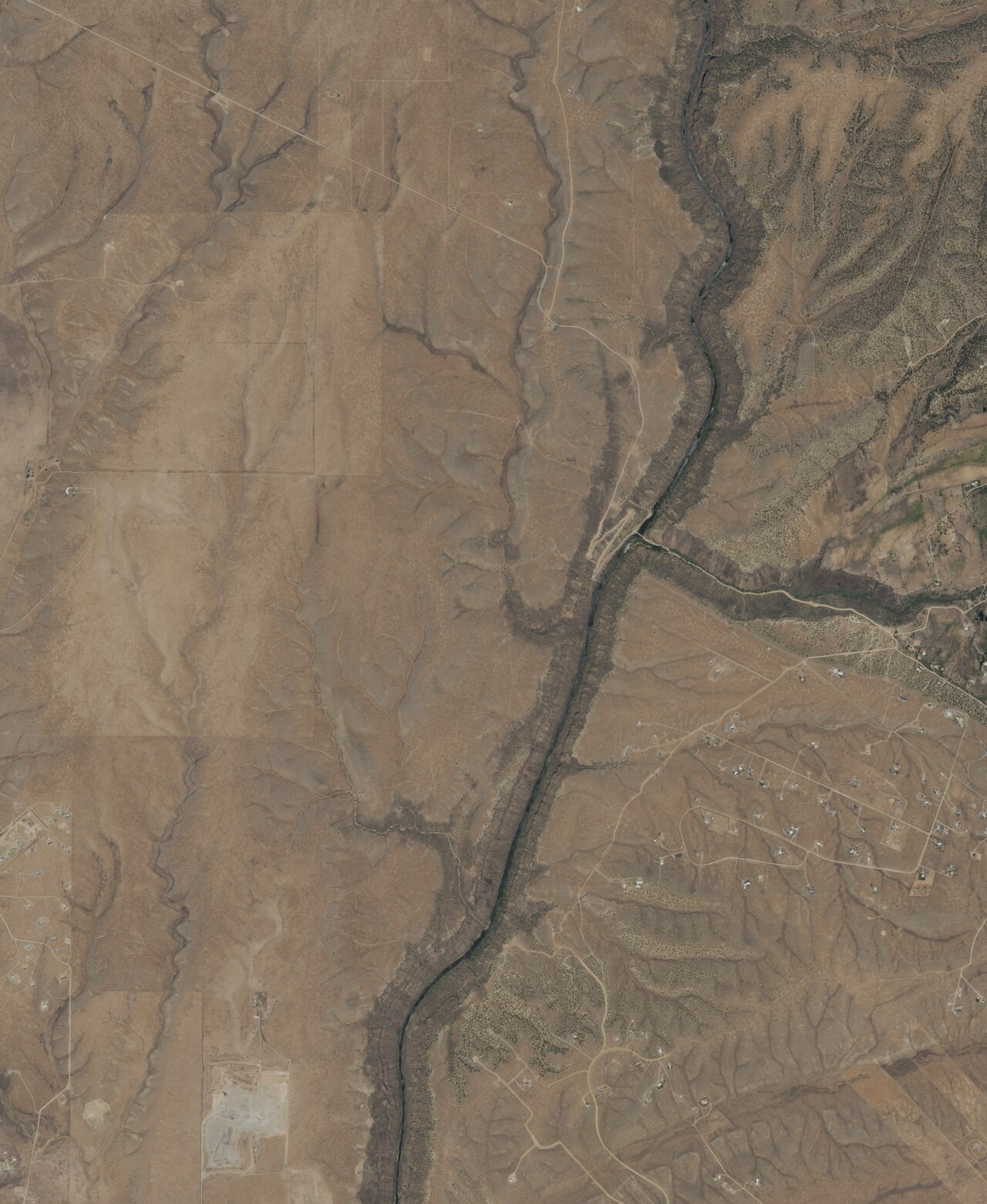
The record files this as an unnamed thermal point, but OpenStreetMap calls it Black Rock Hot Spring, and Wikipedia describes Black Rock Hot Springs as a small system of thermal springs west of Arroyo Hondo. It sits on BLM land in Taos County, about seven miles from Arroyo Seco, with water above a hundred degrees, hot enough to soak in comfortably. Open access, public ground.
Around 6,700 feet up, with heavy winters, close to three feet of snow across the season. Reaching it means a third of a mile of walking from a road that goes unnamed on the record, over Taos Field Office ground. For camping, Las Petacas Campground is the one on the books, about fifteen miles away. A photograph of the place does exist.
The best months on record are the snowy ones, so check the road before you drive out. Hot enough to ease into slowly and well below scalding. A 1976 sample found mildly alkaline water with sodium in the mix. No fee on record. Las Petacas is the nearest camp, a fair drive off.
Black Rock Hot Springs, the name attached to this point on OpenStreetMap and Wikipedia, is described as a small cluster of thermal springs west of Arroyo Hondo. The USGS sampled it in July 1976.
USGS hasn't flown a detailed laser scan here yet, so this view comes from aerial photos and older elevation data.
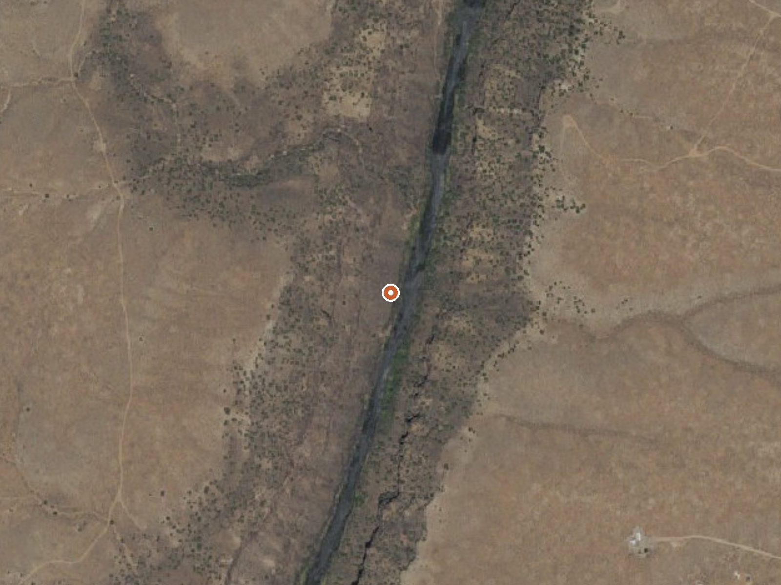
The orange dot marks the spring, in a frame about three quarters of a mile wide.
- Setting
- Canyon floor
- Steep ground climbs away on both sides of the spring.
- Highest ground nearby
- 481 ft above the spring
- Within a quarter mile, to the west
A slice through the ground from northwest to southeast, about 0.6 miles end to end.
Elevation data: USGS 3D Elevation Program. Aerial imagery: USGS The National Map. Public domain.
That's about twice the US average of 65. It's higher than at 71% of the springs on this site.
Heat flow measures the warmth working its way up through the ground from deep inside the earth. Where it runs high, rain and snowmelt that seep down through cracks in the rock come back up hot.
See every spring on the geothermal heat map →
Heat flow estimate: Stanford Thermal Earth Model (Aljubran & Horne, 2024), CC BY 4.0.
The water at This spring is slightly alkaline (pH 8.0).
Some links are affiliate links. We may earn a commission at no extra cost to you.
Set in a beautiful canyon quite close to Taos, there is good access to Rio Fernando de Taos for fishing.
this spring sits at 6,680 feet above sea level, way above the mile-high mark. You may not feel the altitude strongly, but hot water still dehydrates you faster at elevation. UV is about 27% stronger than at sea level, so bring sunscreen and drink more water than you normally would.



As an Amazon Associate, we earn from qualifying purchases.
this spring is road-accessible, so you can bring more gear.






As an Amazon Associate, we earn from qualifying purchases.
Springs Near This Spring
More Springs Around 106°F
Slightly Alkaline Springs (pH ~8.0)
Hike 4 waterfalls near this spring
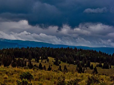
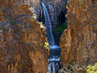
Looking for more outdoor adventures? Explore waterfall hikes near this spring, New Mexico.