Cebolla Hot Springs
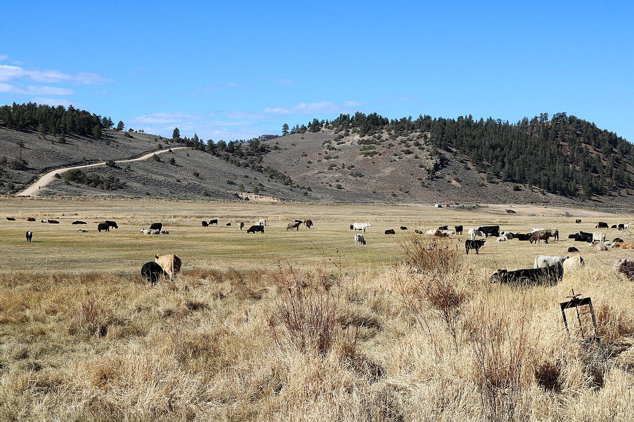
Cebolla Hot Springs sits in Hinsdale County, Colorado, about twenty miles from Lake City, up at eighty-one hundred feet. The water is comfortably in soaking range. Public access goes unrecorded and so does the land owner. The USGS sampled the water in 1978 and found it slightly acidic with iron present; it has a site number.
Ten Mile Springs Road passes within about a hundred feet, which makes this a roadside spring. High country. Winters bring upward of five feet of snow and the thermometer averages below forty across the year. Rainfall is moderate. Owner and designation are blank in the file. The record stops at the road; the ground beyond it is not described.
The listed season is winter, and with that much snow the road in is the thing to check. Roadside. Red Bridge Campground is about eight miles out. No fee shows. The water figures are from 1978. Access status is missing, so confirm who owns the land.
Aircraft with laser scanners measured this ground to within inches. The scan strips out trees and buildings, leaving the bare shape of the land around Cebolla Hot Springs.
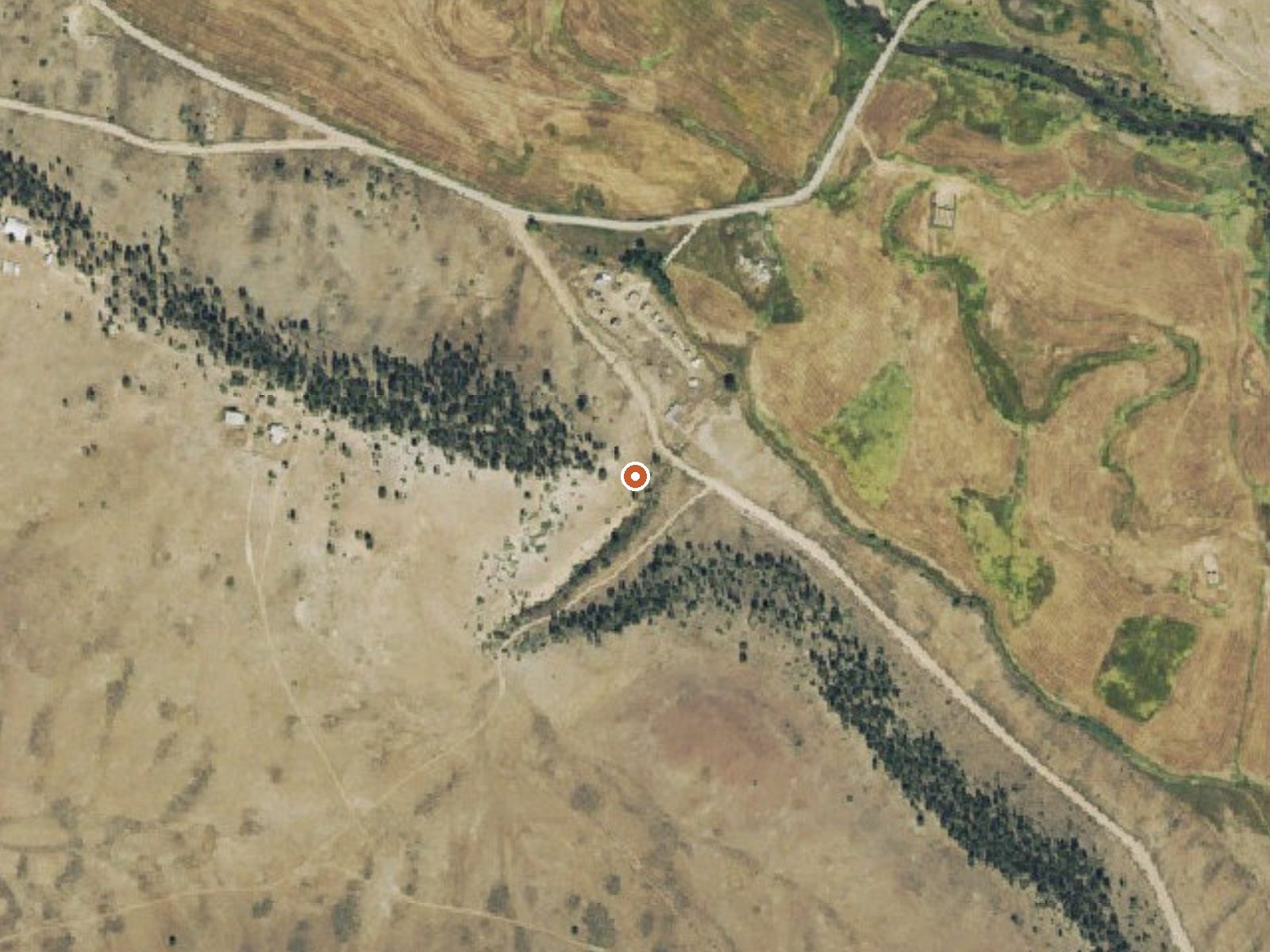
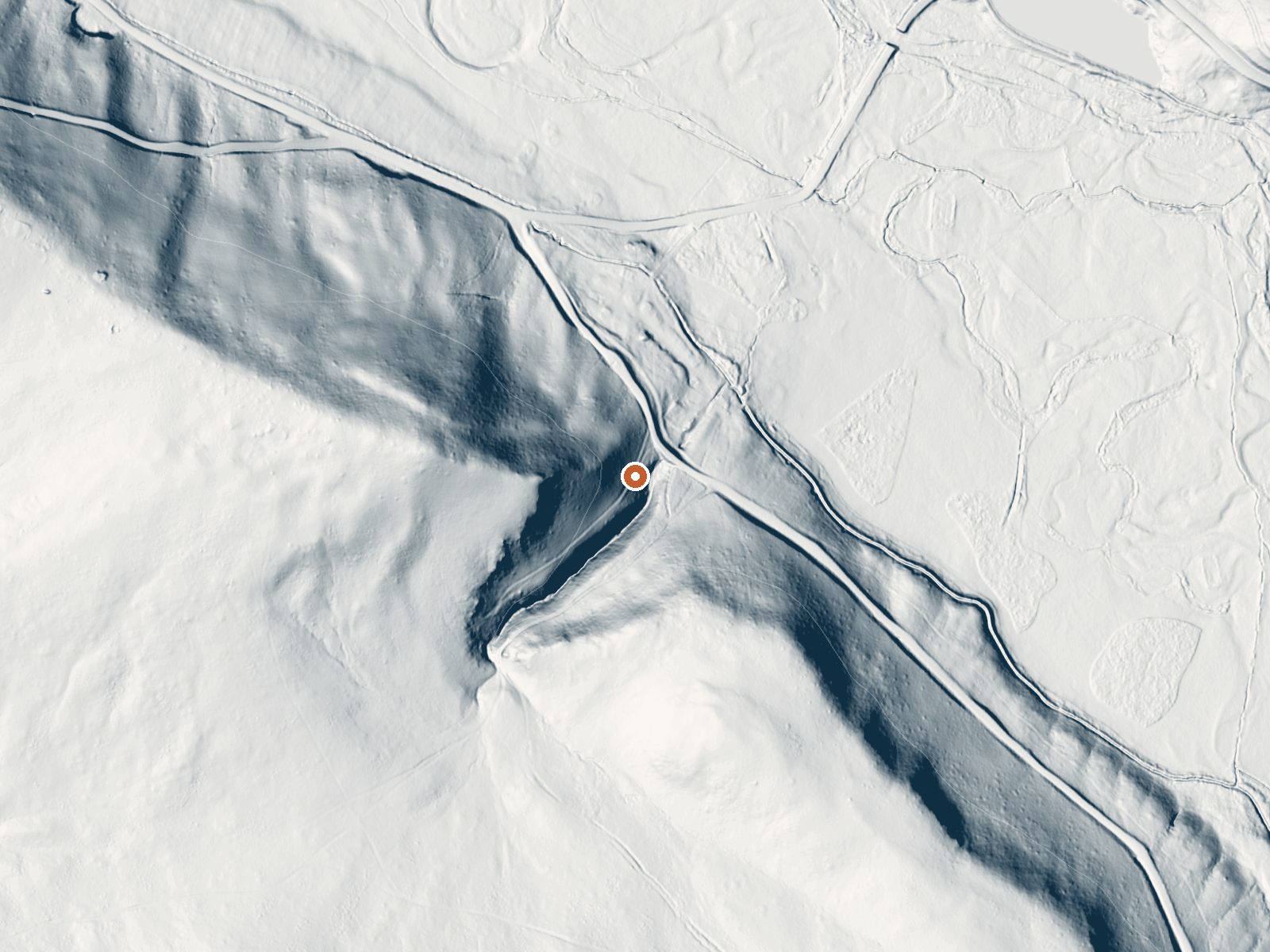
Drag the handle to compare the two views. The orange dot marks the spring, in a frame about three quarters of a mile wide.
- Setting
- Hillside
- The spring sits on a steep slope that climbs to the west.
- Highest ground nearby
- 152 ft above the spring
- Within a quarter mile, to the west
A slice through the ground from west to east, about 0.6 miles end to end.
Elevation data: USGS 3D Elevation Program. Aerial imagery: USGS The National Map. Public domain.
That's about twice the US average of 65. It's higher than at 88% of the springs on this site.
Heat flow measures the warmth working its way up through the ground from deep inside the earth. Where it runs high, rain and snowmelt that seep down through cracks in the rock come back up hot.
See every spring on the geothermal heat map →
Heat flow estimate: Stanford Thermal Earth Model (Aljubran & Horne, 2024), CC BY 4.0.
The water at Cebolla Hot Springs is slightly acidic (pH 6.4). It is notably rich in calcium (may support bone density and joint health), magnesium (known for muscle relaxation and stress relief), and sodium (supports circulation and skin hydration).
Some links are affiliate links. We may earn a commission at no extra cost to you.
Red Bridge Campground is a short distance off of the Silver Thread National Scenic Byway. You'll find public fishing access to the Lake Fork of the Gunnison River, and access to the Lake Fork Spur scenic drive. Red Bridge Campground located on the Lake Fork of the Gunnison River and is a perfect place for someone to relax and fish. The campground has 7 campsites and 1 restroom. Each campsite has a parking spur, metal fire ring, and a picnic table. Potable water is not available at this campgr...
At 8,158 feet, Cebolla Hot Springs is in high-altitude territory where the air is noticeably thinner. Soaking in hot water accelerates dehydration and can amplify altitude effects like headache and fatigue. UV radiation is roughly 33% stronger here. Wear sunscreen even on overcast days and take breaks from the water to rehydrate.



As an Amazon Associate, we earn from qualifying purchases.
Cebolla Hot Springs is road-accessible, so you can bring more gear. Cold air temperatures make a changing robe or warm layers essential.






As an Amazon Associate, we earn from qualifying purchases.
Springs Near Cebolla Hot Springs
More Springs Around 106°F
Slightly Acidic Springs (pH ~6.4)
Hike 6 waterfalls near Cebolla Hot Springs
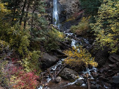
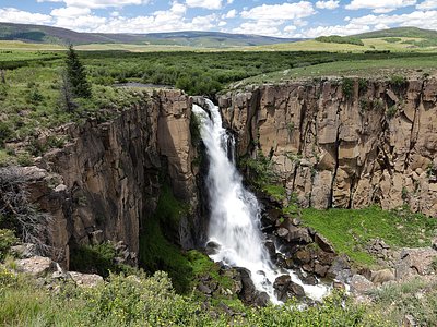
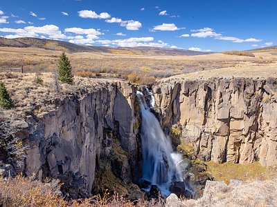
Looking for more outdoor adventures? Explore waterfall hikes near Cebolla Hot Springs, Colorado.