Upper Waunita Hot Springs
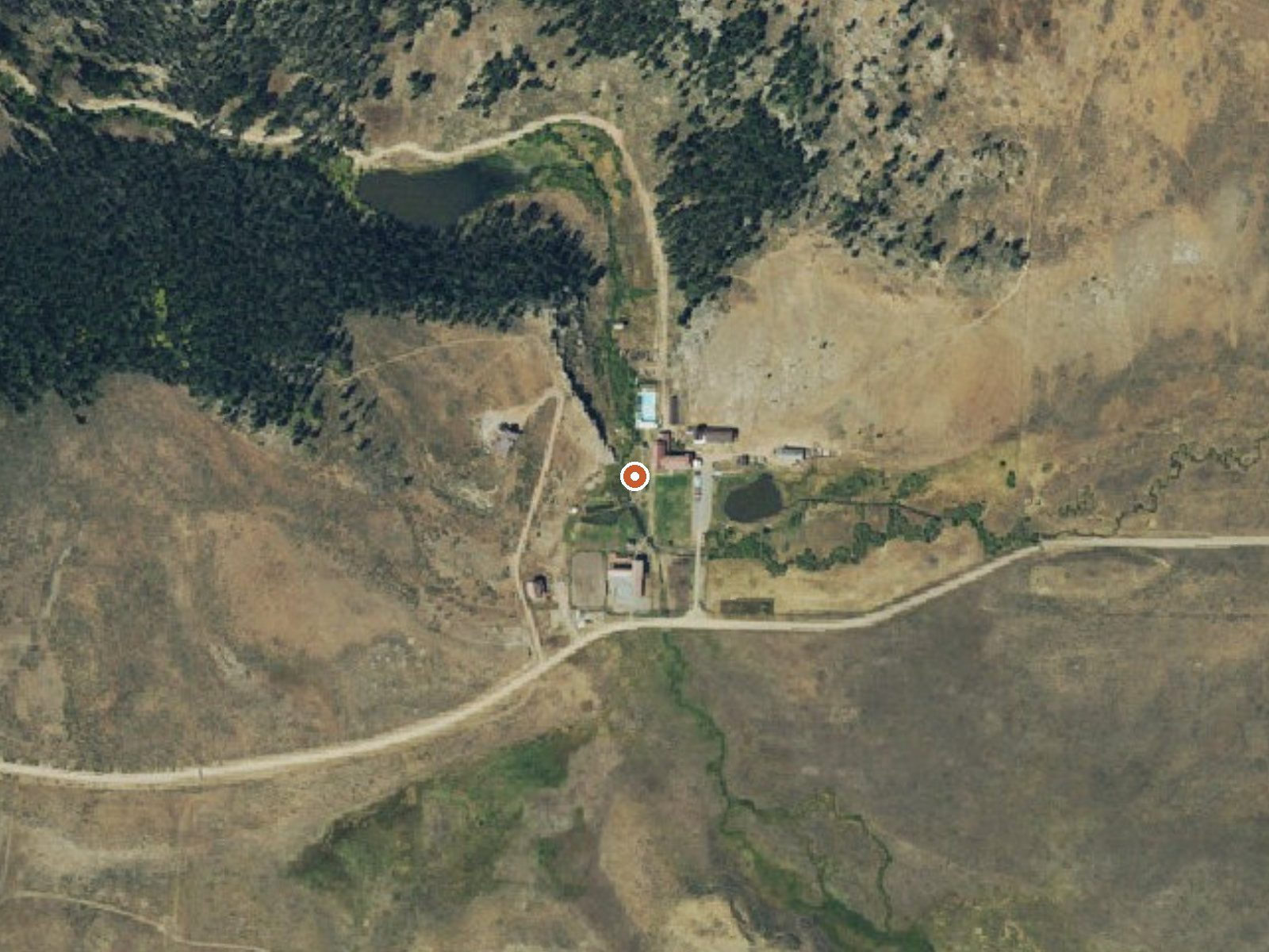
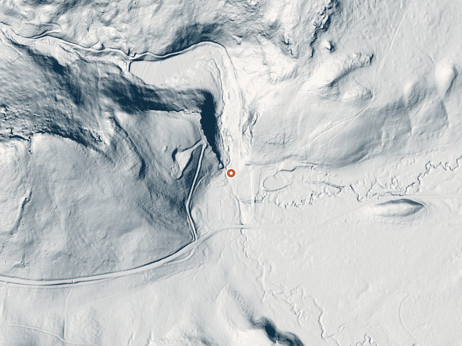
Drag the handle to compare the two views. The orange dot marks the spring, in a frame about three quarters of a mile wide.
Upper Waunita Hot Springs is scalding at the source, far past anything skin can take. It lies in Gunnison County, twenty-odd miles from Gunnison, at close to nine thousand feet. Nothing on file names a landowner or states an access rule. A USGS site number and a 1978 chemistry sample are the hard data here.
Roadside, about sixty yards from an unnamed road. Cold high country; the annual average sits well below anything you would call mild. Some eighty inches of snow fall over a winter, and the year is dry overall. Monarch Park Campground is about ten miles out, the closest on record.
The heart of winter is listed as best. You park and you are there. The temperature is dangerous; the source is hot enough to scald in seconds, so stay out of the outlet and do not test it with a hand. Chemistry dates to 1978. Who holds the land, and on what terms you can be there, is unverified.
Aircraft with laser scanners measured this ground to within inches. The scan strips out trees and buildings, leaving the bare shape of the land around Upper Waunita Hot Springs.
- Setting
- Valley floor
- Gentle slopes rise on both sides.
- Highest ground nearby
- 188 ft above the spring
- Within a quarter mile, to the west
A slice through the ground from northwest to southeast, about 0.6 miles end to end.
Elevation data: USGS 3D Elevation Program. Aerial imagery: USGS The National Map. Public domain.
That's about twice the US average of 65. It's higher than at 89% of the springs on this site.
Heat flow measures the warmth working its way up through the ground from deep inside the earth. Where it runs high, rain and snowmelt that seep down through cracks in the rock come back up hot.
See every spring on the geothermal heat map →
Heat flow estimate: Stanford Thermal Earth Model (Aljubran & Horne, 2024), CC BY 4.0.
The water at Upper Waunita Hot Springs is slightly alkaline (pH 7.9).
Overview This Campground is Closed for the 2024 Season for renovation. Will reopen in 2025. Monarch Park is nestled at the base of Monarch Ridge, a short drive north of Monarch Pass on Highway 50. Some campsites at the family-friendly destination are located on the banks of the South Fork Arkansas River, while others lie along a creek. Popular activities in the area include hiking the Colorado/Continental DivideTrail and fishing. Beaver ponds near the entrance to the campground make a great...
At 8,940 feet, Upper Waunita Hot Springs is in high-altitude territory where the air is noticeably thinner. Soaking in hot water accelerates dehydration and can amplify altitude effects like headache and fatigue. UV radiation is roughly 36% stronger here. Wear sunscreen even on overcast days and take breaks from the water to rehydrate.



As an Amazon Associate, we earn from qualifying purchases.
Springs Near Upper Waunita Hot Springs
More Springs Around 176°F
Slightly Alkaline Springs (pH ~7.9)
Hike 6 waterfalls near Upper Waunita Hot Springs
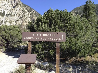
Looking for more outdoor adventures? Explore waterfall hikes near Upper Waunita Hot Springs, Colorado.