Pinkerton Hot Springs
The Pinkerton Hot Springs point on record here is warm, a little under body heat, which puts it outside what most people would call a hot soak. It lies in La Plata County around fourteen miles from Durango. Land ownership is not recorded and neither is an access status. OpenStreetMap uses the same name for it.
A short walk, about a hundred and forty yards from the nearest road. It sits a little under 6,800 feet, with cumulative winter snowfall a bit above five feet and a moderately wet year. Chris Park is the camp on record, about four and a half miles from the spring.
December through February show as the best months. Bear in mind the water is warm, well short of hot, so it is a tepid dip at best. Chemistry sampling dates to 1976. No fee is recorded, and the owner and access status are blank. With access unknown, look for posted signs before walking in.
Aircraft with laser scanners measured this ground to within inches. The scan strips out trees and buildings, leaving the bare shape of the land around Pinkerton Hot Springs.
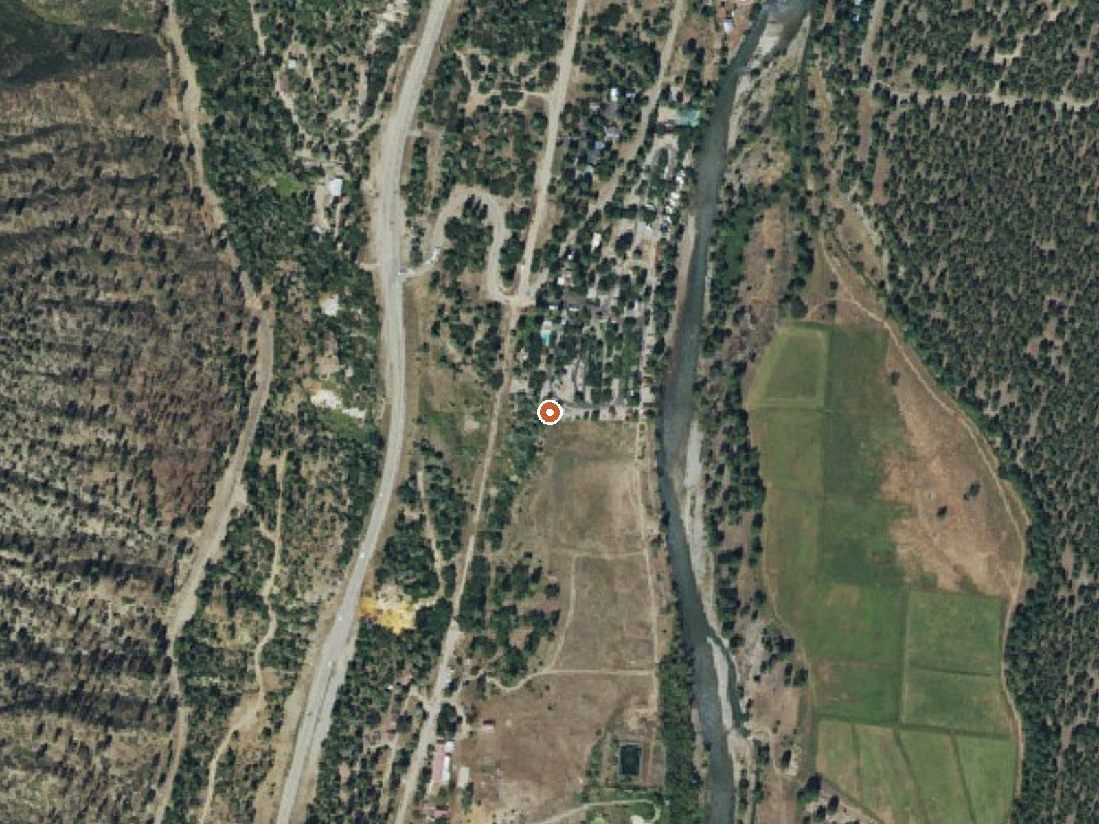
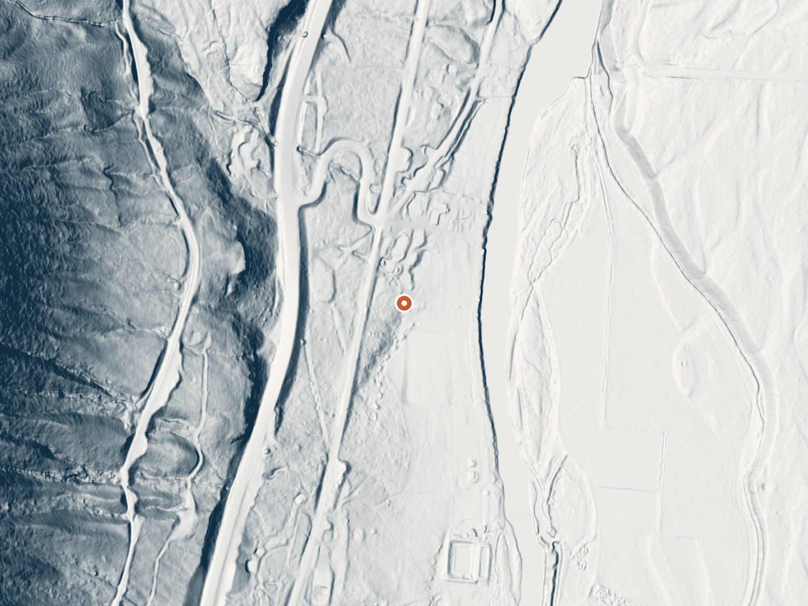
Drag the handle to compare the two views. The orange dot marks the spring, in a frame about three quarters of a mile wide.
- Setting
- Hillside
- The spring sits on a steep slope that climbs to the west.
- Highest ground nearby
- 306 ft above the spring
- Within a quarter mile, to the west
A slice through the ground from west to east, about 0.6 miles end to end.
Elevation data: USGS 3D Elevation Program. Aerial imagery: USGS The National Map. Public domain.
That's about 1½ times the US average of 65. It's higher than at 63% of the springs on this site.
Heat flow measures the warmth working its way up through the ground from deep inside the earth. Where it runs high, rain and snowmelt that seep down through cracks in the rock come back up hot.
See every spring on the geothermal heat map →
Heat flow estimate: Stanford Thermal Earth Model (Aljubran & Horne, 2024), CC BY 4.0.
The water at Pinkerton Hot Springs is slightly acidic (pH 6.4). It is notably rich in calcium (may support bone density and joint health), magnesium (known for muscle relaxation and stress relief), and sodium (supports circulation and skin hydration).
Some links are affiliate links. We may earn a commission at no extra cost to you.
Overview Chris Park is located near Haviland Lake in southwestern Colorado, 18 miles north of Durango. Visitors enjoy the area for its hiking, canoeing and fishing opportunities.Recreation Several trailheads are in the vicinity, including Forebay, Goulding, Elbert Creek and Purgatory Flats. The historic Rico-to-Rockwood Wagon Road passes through Chris Park. Built in the late 1800s, the road was used for six years until the railway opened.Facilities The campground offers three group sites. Sit...
Pinkerton Hot Springs sits at 6,748 feet above sea level, way above the mile-high mark. You may not feel the altitude strongly, but hot water still dehydrates you faster at elevation. UV is about 27% stronger than at sea level, so bring sunscreen and drink more water than you normally would.



As an Amazon Associate, we earn from qualifying purchases.
Pinkerton Hot Springs is road-accessible, so you can bring more gear.






As an Amazon Associate, we earn from qualifying purchases.
Springs Near Pinkerton Hot Springs
More Springs Around 90°F
Slightly Acidic Springs (pH ~6.4)
Hike 6 waterfalls near Pinkerton Hot Springs

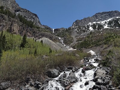
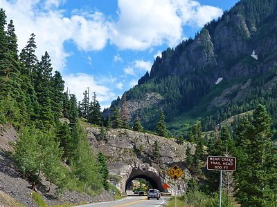
Looking for more outdoor adventures? Explore waterfall hikes near Pinkerton Hot Springs, Colorado.