Fault Zone Spring
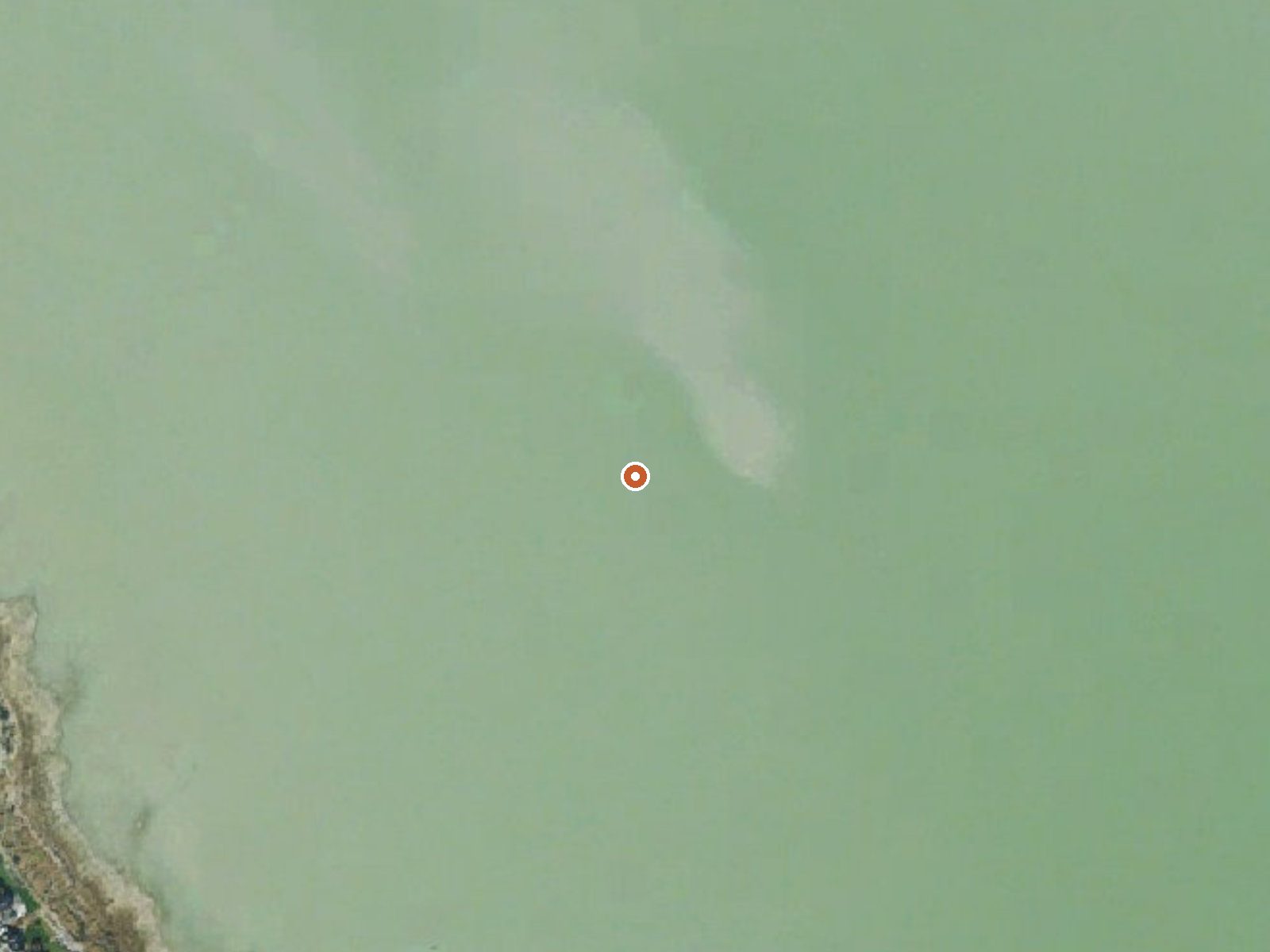
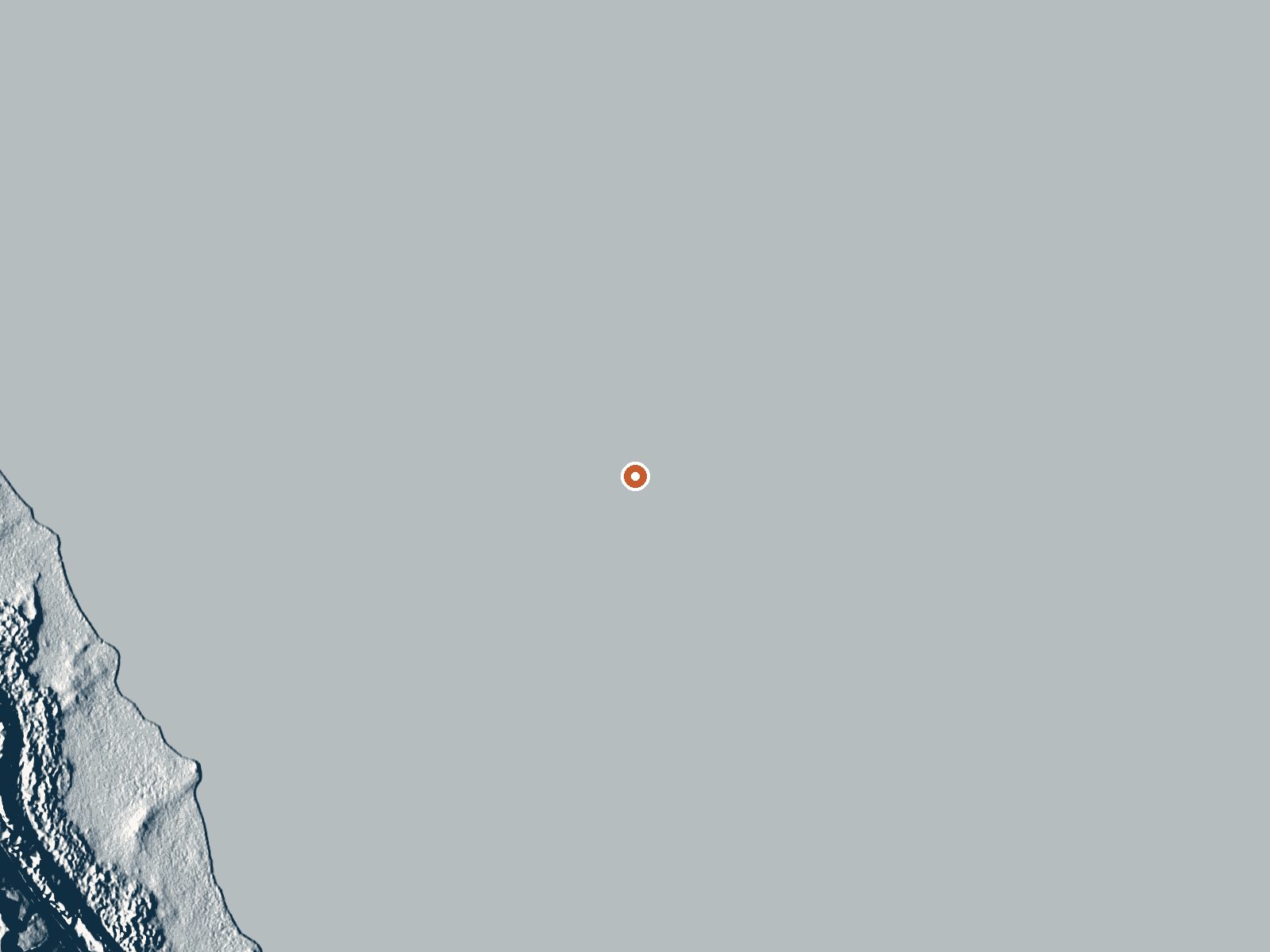
Drag the handle to compare the two views. The orange dot marks the spring, in a frame about three quarters of a mile wide.
Fault Zone Spring is a thermal point the USGS logged near Saratoga Springs, on state land at Utah Lake, with water that reads right at the line between warm and soakable. The record marks public access unknown. The chemistry on file is from 1940, and that is old.
The nearest road is South Centennial Boulevard, about four tenths of a mile away on foot. The spring sits near lake level in a part of Utah County with snowy winters, over three feet on average. Little Mill campground, around fourteen miles off, is the closest camping named. Land designation on record is SOTH, state-held.
Winter months lead the record. With access unknown, put a call in to the state before you walk out. The temperature is a survey number from decades back and may have shifted. No fee on file. Saratoga Springs is under two miles away, so this is an easy one to check on from town.
Aircraft with laser scanners measured this ground to within inches. The scan strips out trees and buildings, leaving the bare shape of the land around Fault Zone Spring.
- Setting
- Open ground
- Flat, open ground all around.
- Highest ground nearby
- Level with the spring
- Within a quarter mile
Elevation data: USGS 3D Elevation Program. Aerial imagery: USGS The National Map. Public domain.
That's about twice the US average of 65. It's higher than at 74% of the springs on this site.
Heat flow measures the warmth working its way up through the ground from deep inside the earth. Where it runs high, rain and snowmelt that seep down through cracks in the rock come back up hot.
See every spring on the geothermal heat map →
Heat flow estimate: Stanford Thermal Earth Model (Aljubran & Horne, 2024), CC BY 4.0.
The water at Fault Zone Spring is slightly alkaline (pH 7.8) with 1670 mg/L total dissolved solids. It is notably rich in calcium (may support bone density and joint health), magnesium (known for muscle relaxation and stress relief), and sulfate (traditionally used for skin conditions and inflammation).
Overview Little Mill Campground is located in American Fork Canyon on the banks of American Fork Creek. This popular campground is a great place to escape the hot summer days while hiking or fishing.Recreation American Fork Creek is a favorite among fly-fisherman. The creek is stocked with rainbow trout. The 20-mile paved Alpine Loop Scenic Byway passes the campground, traveling through alpine canyons, mountain meadows, aspen groves and pine forests, providing breathtaking views of the Was...
Springs Near Fault Zone Spring
More Springs Around 90°F
Slightly Alkaline Springs (pH ~7.8)
Hike 6 waterfalls near Fault Zone Spring
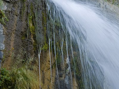
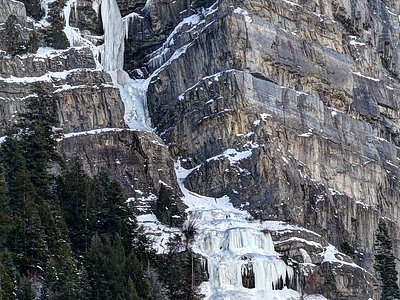
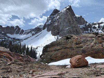
Looking for more outdoor adventures? Explore waterfall hikes near Fault Zone Spring, Utah.