Camp Williams

Camp Williams is a tepid thermal point inside a National Guard training area in Salt Lake County, barely a mile from Bluffdale. Public access is closed. The water on file is cool anyway, nothing anyone would drive out to soak in even if the gate stood open. The listing calls it a short walk, but that only matters with permission to be on the base. A photo is on file.
The spring lies about a fifth of a mile off 1300 West, inside the military reservation that carries the same name. Land designation is military. Valley elevation on the Wasatch Front, where winters deliver roughly four feet of snow and the year brings a moderate amount of rain.
Do not plan a trip around this one. Access is closed and the ground is a training area. The nearest listed camping is Little Mill, around thirteen and a half miles away. The chemistry figures come from a water sample taken in April 1966, which is as current as anything on record here.
Aircraft with laser scanners measured this ground to within inches. The scan strips out trees and buildings, leaving the bare shape of the land around Camp Williams.
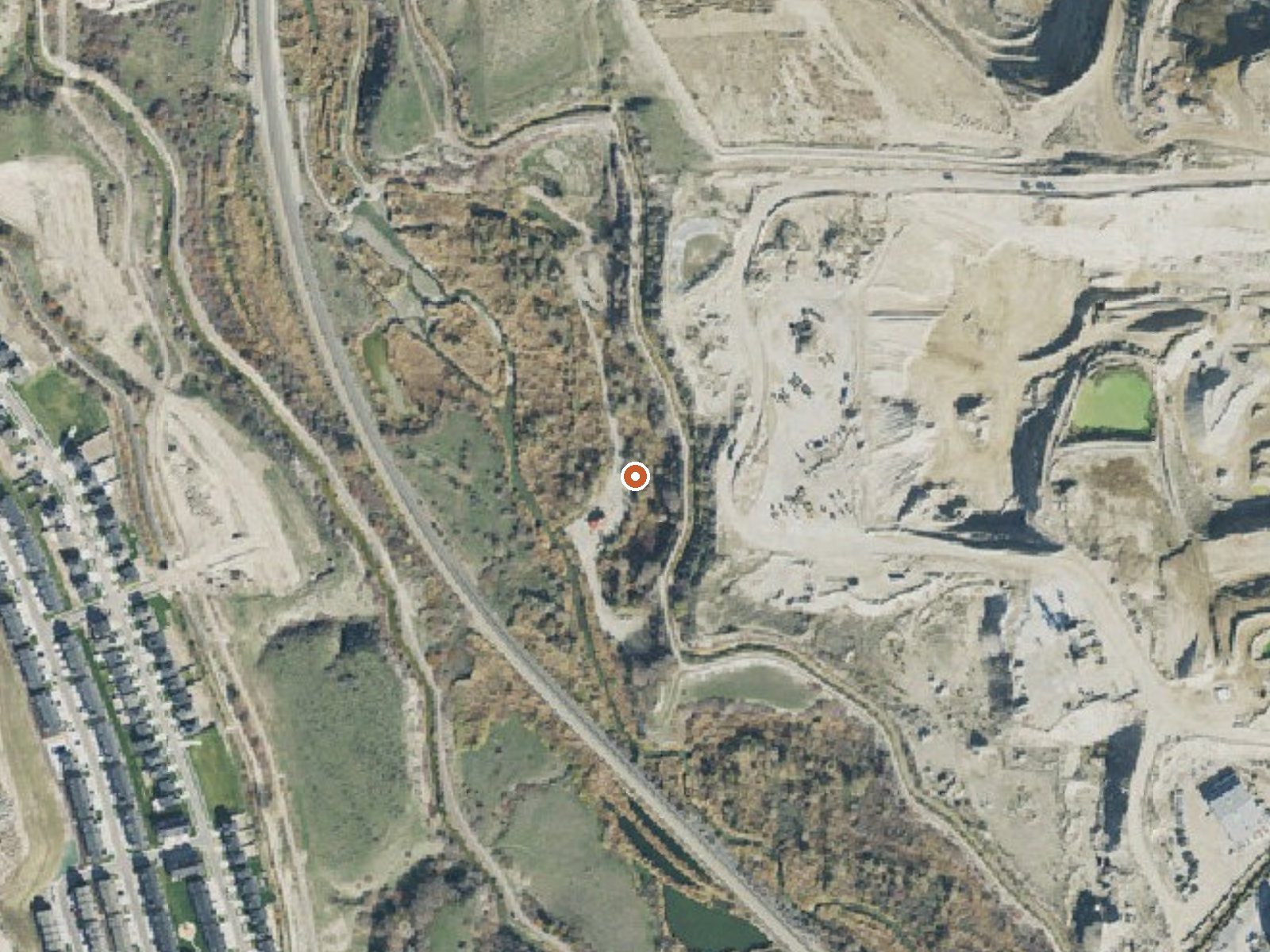
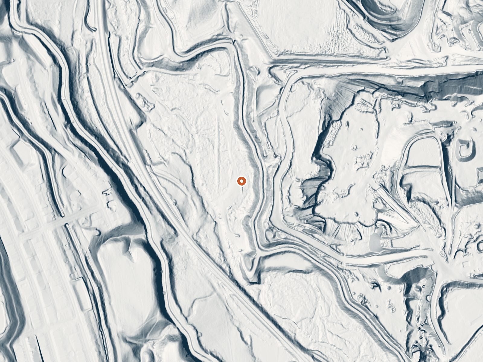
Drag the handle to compare the two views. The orange dot marks the spring, in a frame about three quarters of a mile wide.
- Setting
- Hillside
- The spring sits on a steep slope that climbs to the west.
- Highest ground nearby
- 123 ft above the spring
- Within a quarter mile, to the west
A slice through the ground from northwest to southeast, about 0.6 miles end to end.
Elevation data: USGS 3D Elevation Program. Aerial imagery: USGS The National Map. Public domain.
That's about 1½ times the US average of 65. It's higher than at 43% of the springs on this site.
Heat flow measures the warmth working its way up through the ground from deep inside the earth. Where it runs high, rain and snowmelt that seep down through cracks in the rock come back up hot.
See every spring on the geothermal heat map →
Heat flow estimate: Stanford Thermal Earth Model (Aljubran & Horne, 2024), CC BY 4.0.
The water at Camp Williams is slightly alkaline (pH 7.7) with 373 mg/L total dissolved solids.
Some links are affiliate links. We may earn a commission at no extra cost to you.
Overview Little Mill Campground is located in American Fork Canyon on the banks of American Fork Creek. This popular campground is a great place to escape the hot summer days while hiking or fishing.Recreation American Fork Creek is a favorite among fly-fisherman. The creek is stocked with rainbow trout. The 20-mile paved Alpine Loop Scenic Byway passes the campground, traveling through alpine canyons, mountain meadows, aspen groves and pine forests, providing breathtaking views of the Was...
Camp Williams is road-accessible, so you can bring more gear.






As an Amazon Associate, we earn from qualifying purchases.
Springs Near Camp Williams
More Springs Around 70°F
Slightly Alkaline Springs (pH ~7.7)
Hike 6 waterfalls near Camp Williams
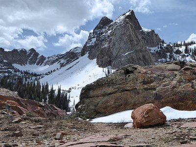
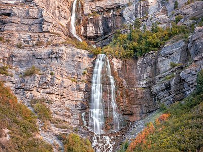
Looking for more outdoor adventures? Explore waterfall hikes near Camp Williams, Utah.