Bertrand Ranch Springs
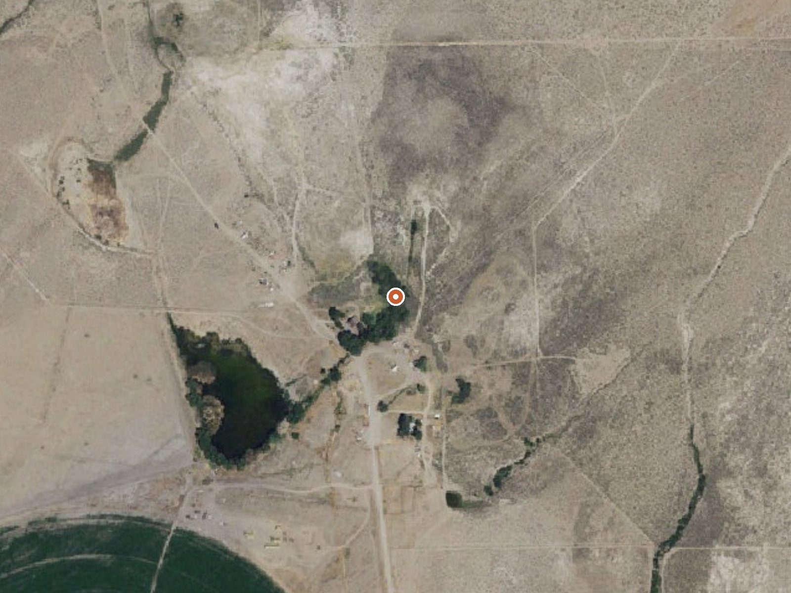
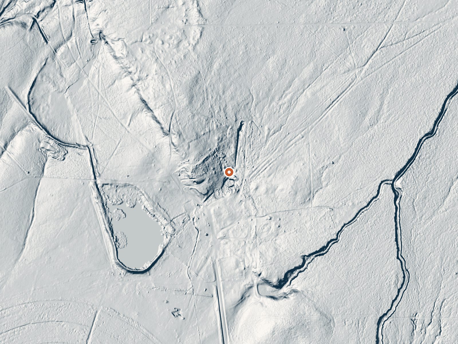
Drag the handle to compare the two views. The orange dot marks the spring, in a frame about three quarters of a mile wide.
Inyo County's Bertrand Ranch Springs is a long way from anywhere. The nearest town on record, Dixon Lane-Meadow Creek, is around thirty-five miles out, and the nearest campground is most of that distance too. Lukewarm at most, going by the one temperature on file, so nobody is driving out here for a hot soak. No owner or access status is recorded.
A road called Ranchard Extended comes within about a hundred and forty feet, so this is roadside. At fifty-five hundred feet the winters bring a couple of feet of snow, while rain is scarce, under ten inches a year. High desert conditions, dry most of the year, cold in the dark months. Neither a land unit nor a designation appears on the record.
Winter, the record says: December through February. Tuff Campground is the one the record names, about twenty-five miles away. Nobody has logged whether the public can visit, and the ranch in the name is a hint to find out first. No fee is listed. Lukewarm water will feel cool in winter air.
Aircraft with laser scanners measured this ground to within inches. The scan strips out trees and buildings, leaving the bare shape of the land around Bertrand Ranch Springs.
- Setting
- Gentle slope
- The ground tilts gently up to the northeast.
- Highest ground nearby
- 43 ft above the spring
- Within a quarter mile, to the northeast
A slice through the ground from south to north, about 0.6 miles end to end.
Elevation data: USGS 3D Elevation Program. Aerial imagery: USGS The National Map. Public domain.
That's about twice the US average of 65. It's higher than at 73% of the springs on this site.
Heat flow measures the warmth working its way up through the ground from deep inside the earth. Where it runs high, rain and snowmelt that seep down through cracks in the rock come back up hot.
See every spring on the geothermal heat map →
Heat flow estimate: Stanford Thermal Earth Model (Aljubran & Horne, 2024), CC BY 4.0.
Overview Tuff Campground is situated along Rock Creek in the scenic Sierra Nevada Mountains of California. It is convenient to Tom's Place and U.S. Highway 395. At an elevation of 7,000 ft., it is lower than many of the region's campgrounds and thus frequently one of the first campgrounds to open in the spring. Popular activities include hiking, fishing, wildlife viewing and viewing the area's volcanic rock formations. Opening and closing dates for the season are dependent on weather. The c...
Bertrand Ranch Springs sits at 5,570 feet above sea level, way above the mile-high mark. You may not feel the altitude strongly, but hot water still dehydrates you faster at elevation. UV is about 22% stronger than at sea level, so bring sunscreen and drink more water than you normally would.



As an Amazon Associate, we earn from qualifying purchases.
Springs Near Bertrand Ranch Springs
More Springs Around 70°F
Hike 5 waterfalls near Bertrand Ranch Springs
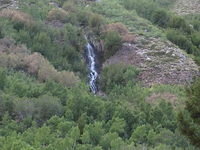
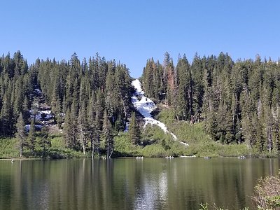
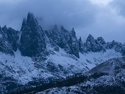
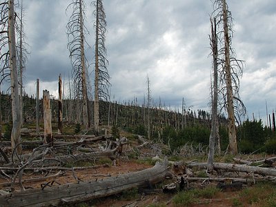
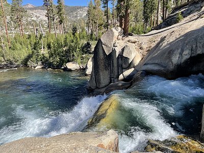
Looking for more outdoor adventures? Explore waterfall hikes near Bertrand Ranch Springs, California.