Springs
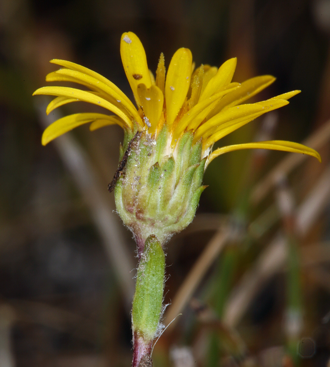
Mono County, near Mammoth Lakes: a public thermal point on Bureau of Land Management ground, tepid at low seventies. The USGS sampled it in the summer of 1988 and found mildly alkaline water with modest dissolved solids. That sample is the whole of what is known about the chemistry, and it is nearly forty years old.
A third of a mile, near enough, off a road the record leaves unnamed, on Bishop Field Office land. Elevation close to 6,800 feet. Winters are long here, with around six feet of snow. The yearly average temperature barely clears the upper forties. Fifteen inches of precipitation.
Crowley Lake Campground is the closest on file, a little over five miles. February, December and January rate best on record. The water is cool enough that there is no safety issue with heat. Remember the chemistry is from a single old sample and may not describe the water today.
A USGS site record exists here, including the July 1988 water sample.
Aircraft with laser scanners measured this ground to within inches. The scan strips out trees and buildings, leaving the bare shape of the land around Springs.
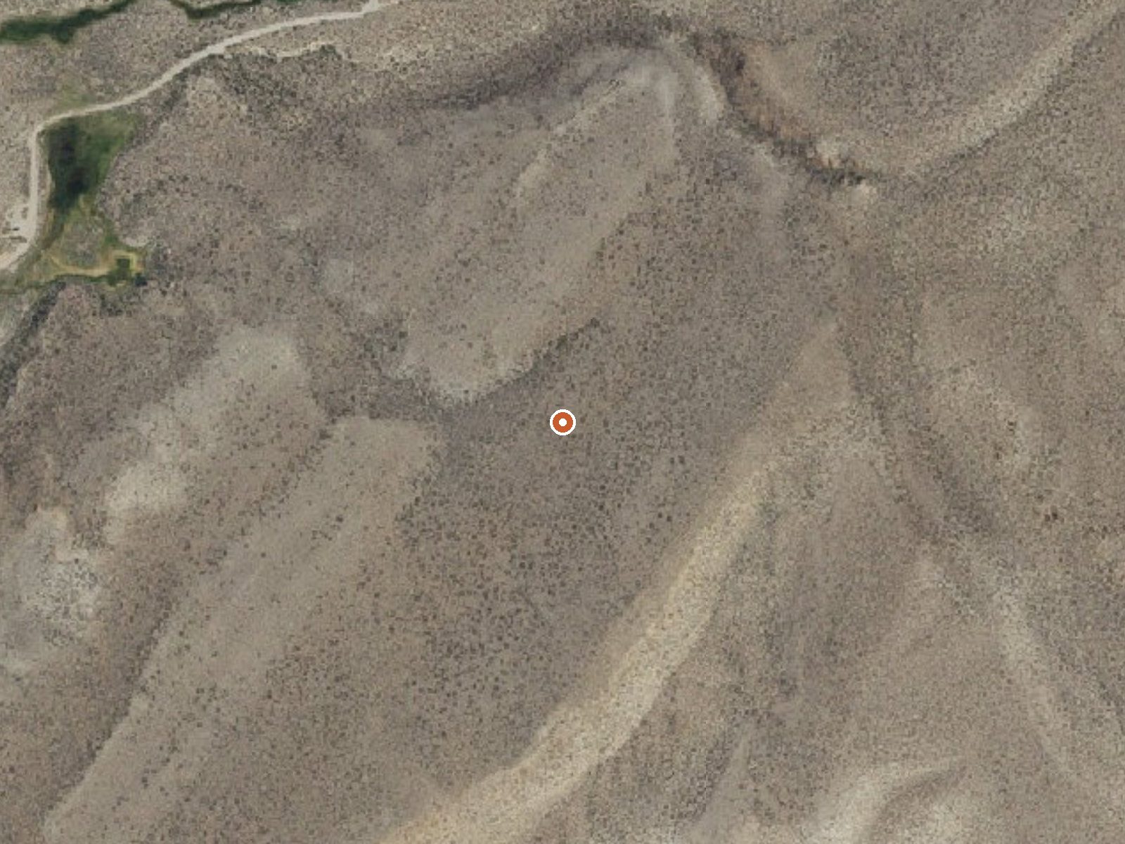
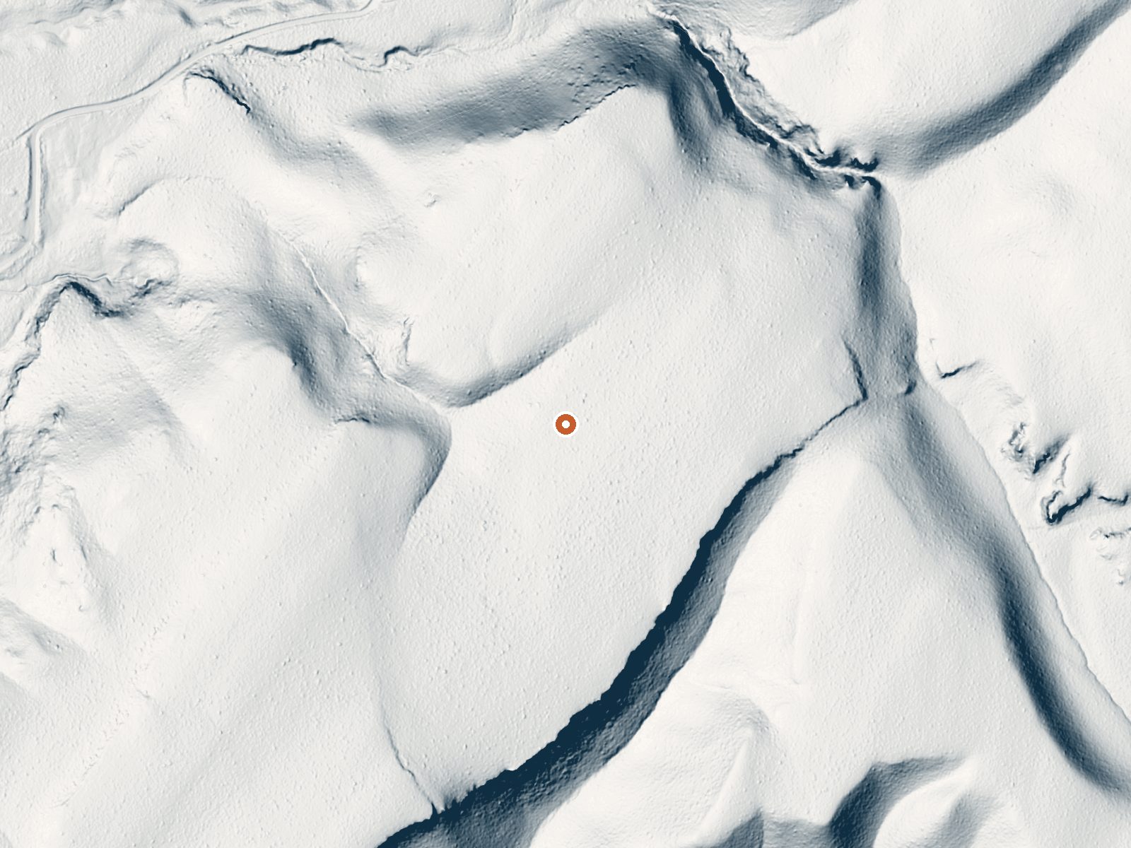
Drag the handle to compare the two views. The orange dot marks the spring, in a frame about three quarters of a mile wide.
- Setting
- Open ground
- Flat, open ground all around.
- Highest ground nearby
- 43 ft above the spring
- Within a quarter mile, to the southeast
A slice through the ground from northwest to southeast, about 0.6 miles end to end.
Elevation data: USGS 3D Elevation Program. Aerial imagery: USGS The National Map. Public domain.
That's about twice the US average of 65. It's higher than at 72% of the springs on this site.
Heat flow measures the warmth working its way up through the ground from deep inside the earth. Where it runs high, rain and snowmelt that seep down through cracks in the rock come back up hot.
See every spring on the geothermal heat map →
Heat flow estimate: Stanford Thermal Earth Model (Aljubran & Horne, 2024), CC BY 4.0.
The water at Springs is slightly alkaline (pH 8.4) with 241 mg/L total dissolved solids.
Some links are affiliate links. We may earn a commission at no extra cost to you.
Overview Crowley Lake Campground offers 47 RV/tent sites, maximum recommended RV length is 30 feet. All sites include a fire pit, picnic table and a lantern holder. No hook-up. Potable water is available. Dump station fee is $10.00, no passes accepted. Closest amenities are 2 miles south in Crowley, or 10 miles north in Mammoth Lakes. Recreation Popular activities include lake and stream fishing, boating, windsurfing, horseback riding, hiking, and wildlife viewing. Facilities Crowley Lake...
Springs sits at 6,790 feet above sea level, way above the mile-high mark. You may not feel the altitude strongly, but hot water still dehydrates you faster at elevation. UV is about 27% stronger than at sea level, so bring sunscreen and drink more water than you normally would.



As an Amazon Associate, we earn from qualifying purchases.
Springs is road-accessible, so you can bring more gear.






As an Amazon Associate, we earn from qualifying purchases.
Springs Near Springs
More Springs Around 72°F
Slightly Alkaline Springs (pH ~8.4)
Hike 6 waterfalls near Springs
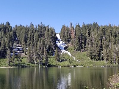
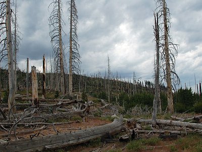
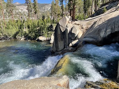
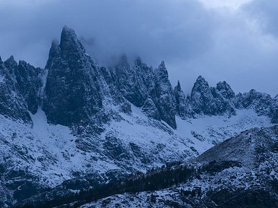
Looking for more outdoor adventures? Explore waterfall hikes near Springs, California.