Melozi (Melozitna) Springs
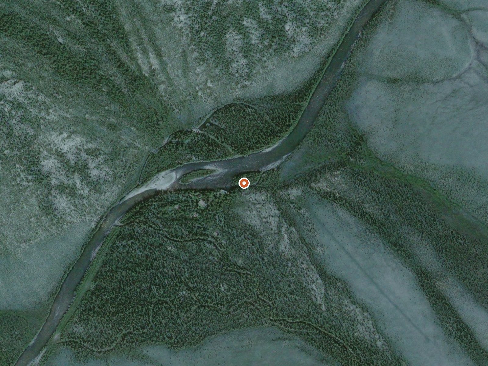
The orange dot marks the spring, in a frame about three quarters of a mile wide.
The file names this one two ways, Melozi and Melozitna, and places it on Central Yukon Field Office land under the BLM. Access is open. The nearest town given is Nikiski, more than three hundred miles off, which tells you how far out this is. A USGS crew sampled the water in July 1976 and found it alkaline. No temperature made it into the record, so soaking is an open question.
Backcountry. Thirty-five miles from Lena Loop, the closest road on the map, across BLM land with no wilderness or refuge designation attached. Elevation is low. Winters run cold, with about five feet of snow through the season and moderate precipitation for the year. Neither a trail nor a cabin appears in the record.
The water chemistry on file is half a century old. The 1976 sample logged calcium, sodium, sulfate and chloride, with a pH on the basic side, and that is the entire water record. Without a temperature, assume nothing about a soak. Plan for the shortest, driest weeks of summer and expect to be fully self-supported. No fee and no campground are given.
USGS hasn't flown a detailed laser scan here yet, so this view comes from aerial photos and older elevation data.
- Setting
- Valley floor
- Gentle slopes rise on both sides.
- Highest ground nearby
- 235 ft above the spring
- Within a quarter mile, to the north
A slice through the ground from southwest to northeast, about 0.6 miles end to end.
Elevation data: USGS 3D Elevation Program. Aerial imagery: USGS The National Map. Public domain.
The water at Melozi (Melozitna) Springs is slightly alkaline (pH 8.4).
Some links are affiliate links. We may earn a commission at no extra cost to you.
Melozi (Melozitna) Springs requires a hike to reach, so pack light but prepared. Cold air temperatures make a changing robe or warm layers essential.






As an Amazon Associate, we earn from qualifying purchases.