Horner Hot Springs
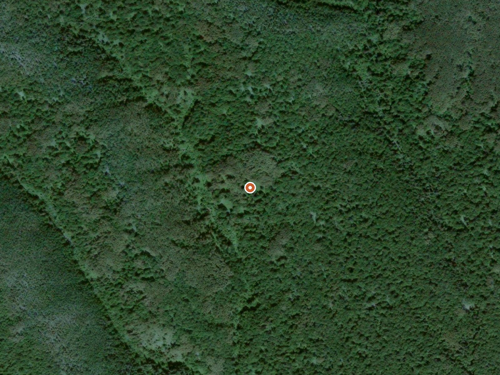
The orange dot marks the spring, in a frame about three quarters of a mile wide.
Horner Hot Springs falls inside Kenai Peninsula Borough, with Nikiski given as the nearest town, more than three hundred miles off. The water is hot, past the point of an easy soak. OpenStreetMap lists it under the same name. Ownership and permission to visit stay open questions.
Twenty-two miles of backcountry separate it from the nearest road, listed as Lena Loop. Elevation is low, about four hundred feet. Climate on file is cold and dryish, with an average below freezing and under five feet of snow. Camping: nothing on file.
Winter months come out on top for a visit on the record. The temperature is high enough to want cooling before a soak, and it comes from a water sample taken in 1915, so expect it to have changed. Iron shows up in the old analysis. Access and fees go unrecorded.
The water here was analyzed in August 1915, and iron was among the constituents found. A USGS site number is attached.
USGS hasn't flown a detailed laser scan here yet, so this view comes from aerial photos and older elevation data.
- Setting
- Hillside
- The spring sits on a steep slope that climbs to the north.
- Highest ground nearby
- 226 ft above the spring
- Within a quarter mile, to the north
A slice through the ground from south to north, about 0.6 miles end to end.
Elevation data: USGS 3D Elevation Program. Aerial imagery: USGS The National Map. Public domain.
The water at Horner Hot Springs contains 292 mg/L total dissolved solids. It is notably rich in iron (iron-rich springs may support circulation).