Soda Dam Hot Springs
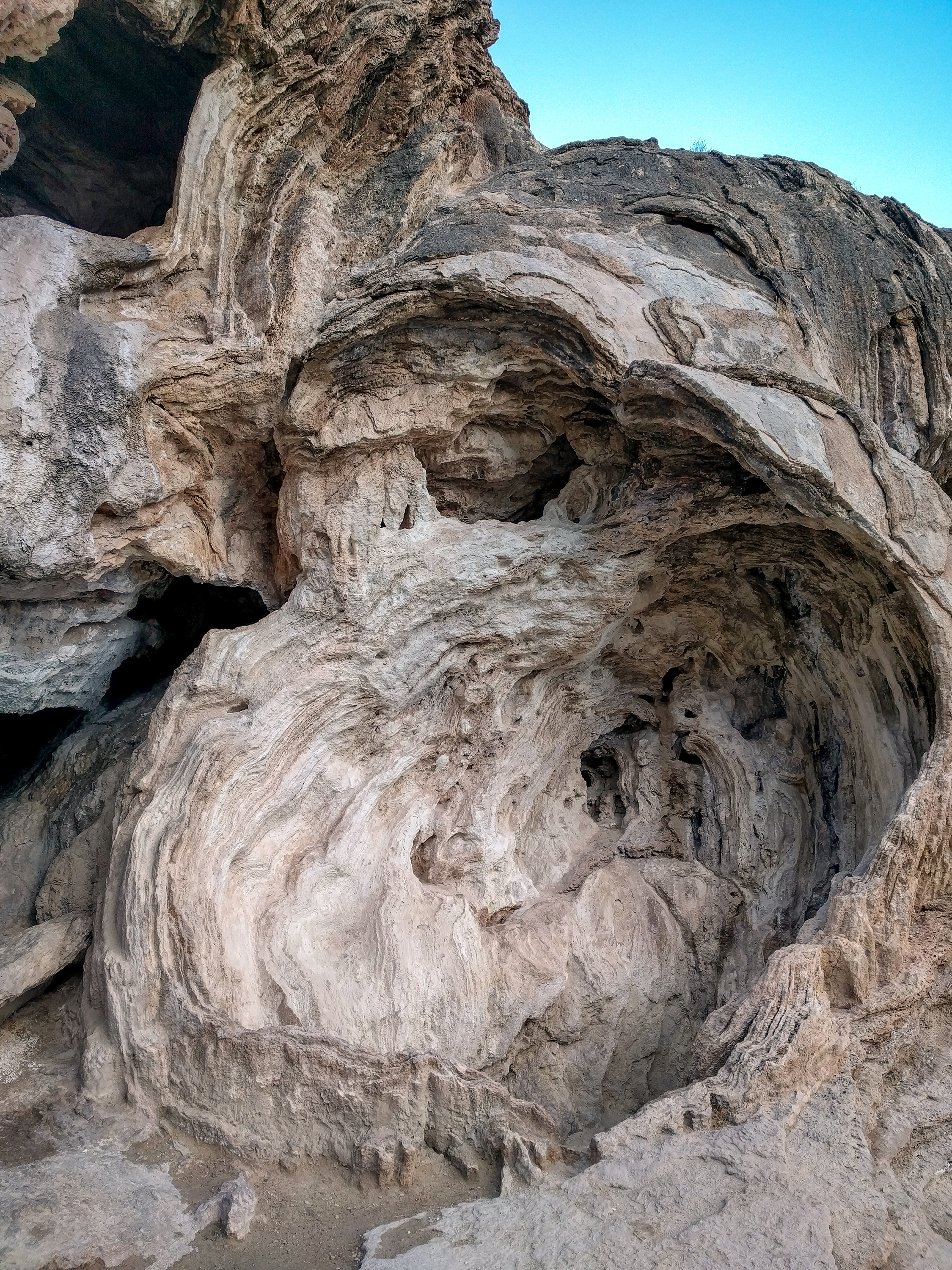
Soda Dam Hot Springs, Sandoval County, is a cluster of fifteen hot springs whose mineral deposits have built a travertine dam across the Jemez River. The water is hot, well above a comfortable soak. Jemez Pueblo is about thirteen miles away. Who manages it and who may enter are both unrecorded, and the record gives no land unit. There is a photo, and the formation itself is the reason most people know the name.
A short walk from a road, a few hundred feet; the road is nameless on the record. Elevation is moderately high, in snowy Jemez country with a middling yearly precipitation and cool average temperatures. Jemez Falls Campground lies under five miles off. The entry leaves out who manages the ground and any fee.
Hot water. Test it before trusting any pool. The best-time note says winter, and the snow here is real, so plan for it if you take that note literally. Water chemistry on record stops at pH and chloride, sampled in 1975. No fee is recorded. Camp at Jemez Falls if you want to stay nearby. Access is not stated, so check locally.
Wikipedia describes the Soda Dam as a grouping of fifteen hot springs whose calcium carbonate and travertine deposits have formed a bridge over the Jemez River. It is also called the Jemez Springs Soda Dam, or Soda Dam for short.
Aircraft with laser scanners measured this ground to within inches. The scan strips out trees and buildings, leaving the bare shape of the land around Soda Dam Hot Springs.
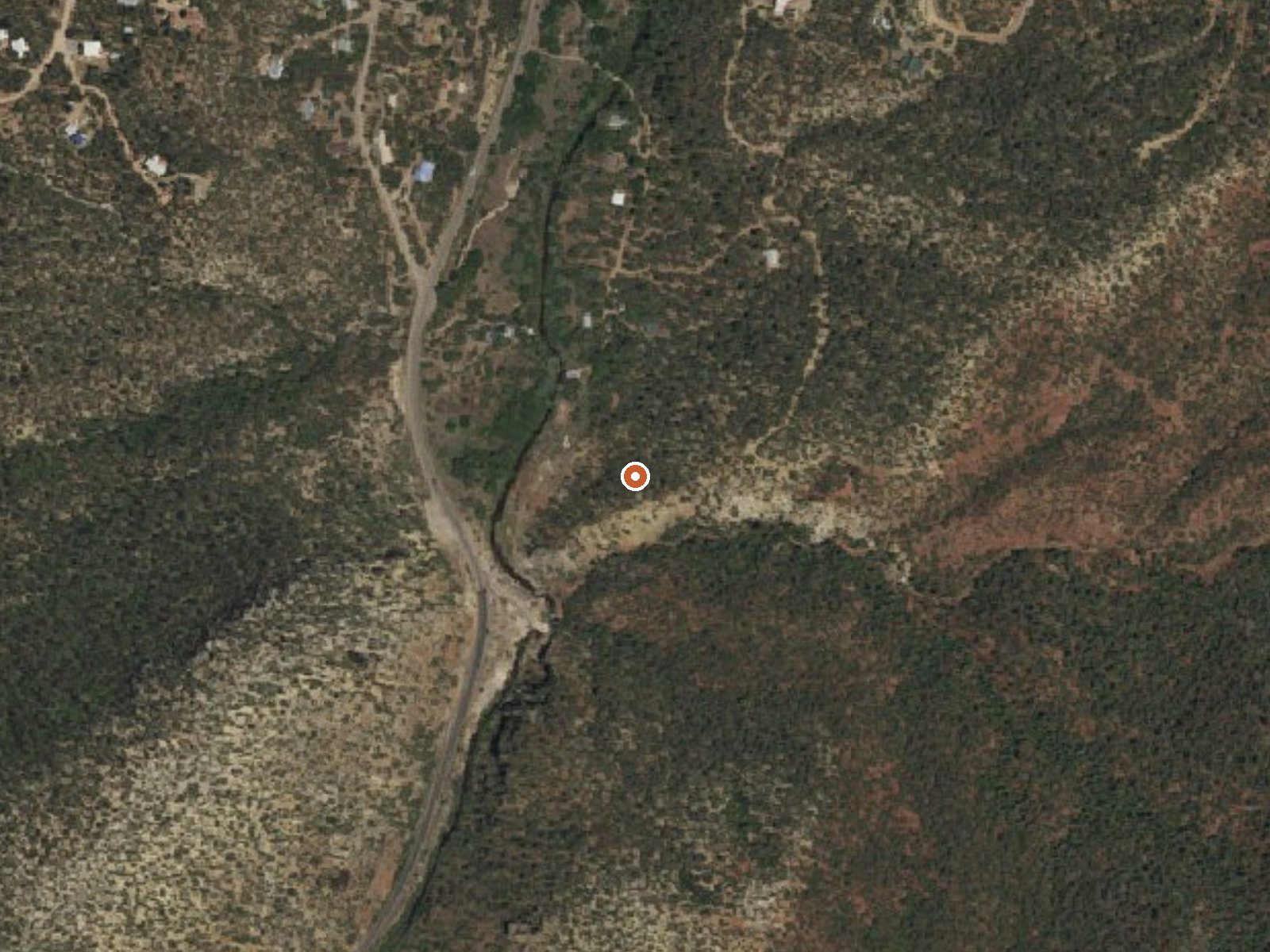
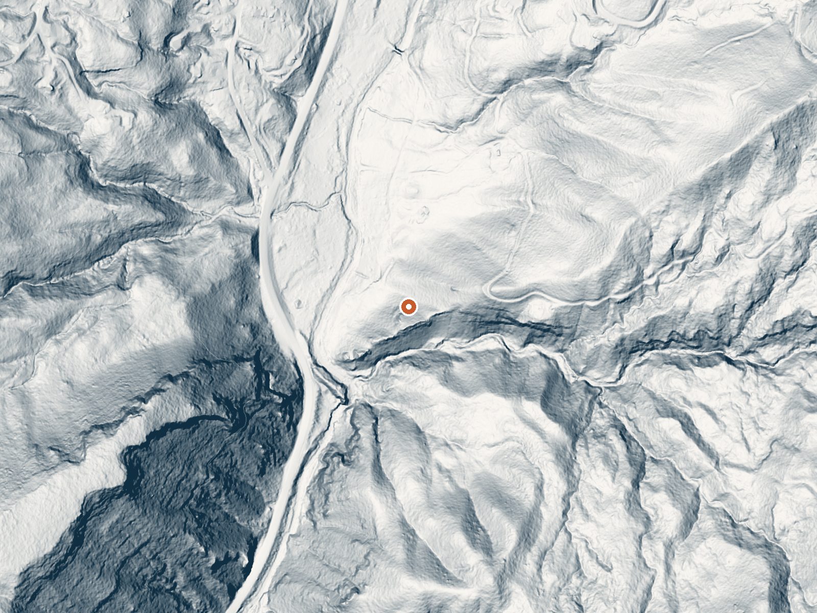
Drag the handle to compare the two views. The orange dot marks the spring, in a frame about three quarters of a mile wide.
- Setting
- Canyon floor
- Steep ground climbs away on both sides of the spring.
- Highest ground nearby
- 401 ft above the spring
- Within a quarter mile, to the west
A slice through the ground from west to east, about 0.6 miles end to end.
Elevation data: USGS 3D Elevation Program. Aerial imagery: USGS The National Map. Public domain.
That's about twice the US average of 65. It's higher than at 77% of the springs on this site.
Heat flow measures the warmth working its way up through the ground from deep inside the earth. Where it runs high, rain and snowmelt that seep down through cracks in the rock come back up hot.
See every spring on the geothermal heat map →
Heat flow estimate: Stanford Thermal Earth Model (Aljubran & Horne, 2024), CC BY 4.0.
The water at Soda Dam Hot Springs is neutral (pH 7.0). It is notably rich in chloride (natural antiseptic with skin health benefits).
Some links are affiliate links. We may earn a commission at no extra cost to you.
Overview Jemez Falls Campground is located in a stunning Ponderosa Pine and forest meadow environment. The campground elevation is 7,880 feet above sea level. Come prepared for warm days and cool nights. The Cerro Pelado Area closure prohibits members of the public from entering Trail 137 from access points South of the East Fork Trailhead. Entry is allowed North from the East Fork Trailhead to Las Conchas Trailhead. Please remember that this campground is special. Help keep it clean and bea...
Soda Dam Hot Springs sits at 6,462 feet above sea level, way above the mile-high mark. You may not feel the altitude strongly, but hot water still dehydrates you faster at elevation. UV is about 26% stronger than at sea level, so bring sunscreen and drink more water than you normally would.



As an Amazon Associate, we earn from qualifying purchases.
Soda Dam Hot Springs is road-accessible, so you can bring more gear. The water runs hot, so extra hydration is key.





As an Amazon Associate, we earn from qualifying purchases.
Springs Near Soda Dam Hot Springs
More Springs Around 117°F
Neutral Springs (pH ~7.0)
Hike 5 waterfalls near Soda Dam Hot Springs

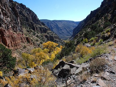
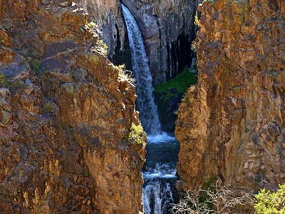
Looking for more outdoor adventures? Explore waterfall hikes near Soda Dam Hot Springs, New Mexico.