Hot Springs

The thermal water of Hot Springs, Arkansas, entered here as one roadside point a couple of miles from the town that shares the park's name, in Garland County. OpenStreetMap labels the spot a thermal water jug fountain. The water comes out scalding, well past the point where skin can take it. People fill containers with it. No landowner or access status is written into the record, and the chemistry is mild, near neutral with low dissolved solids.
Low ground, a few hundred feet up, in a humid part of the country where rain is plentiful and snow barely registers. The fountain stands seventeen feet off the road, close enough that walking hardly enters into it. The nearest camp shown is Brady Mountain, about thirteen miles away. Who owns the ground has not been recorded.
Winter is the listed best stretch, December through February, when hot water in a cup makes the most sense. Step out of the car and you are there. The sample on file is from 1993 and shows a neutral pH. Treat the water as scalding until it has cooled in the jug. Brady Mountain is the camping option. Access status is not on file.
Bathhouse Row grew up around these waters. Wikipedia records that in 1832 the federal government took four parcels of land to protect 47 natural hot springs on the lower slopes of Hot Springs Mountain, noting that the mineral water lacks the sulphur smell most hot springs carry. The bathhouses standing today are the third and fourth generations built on the site.
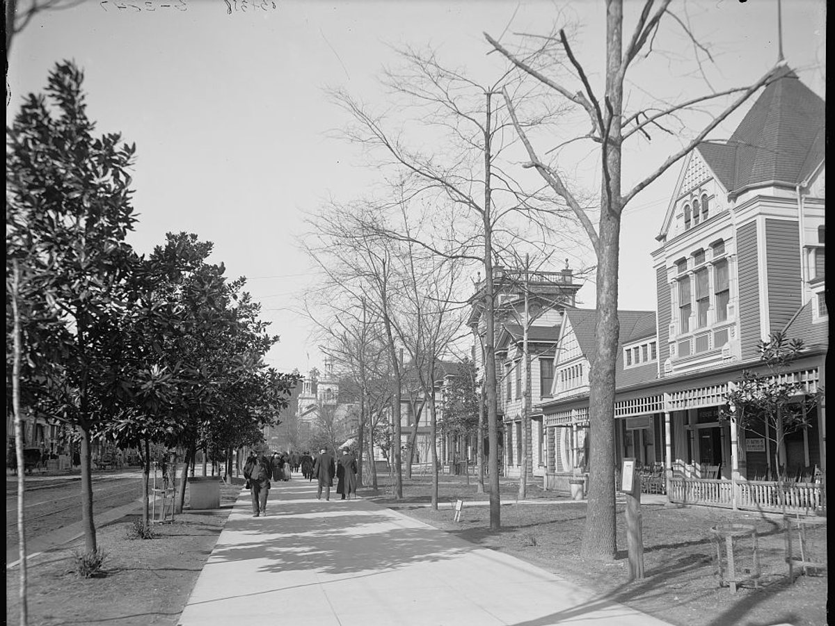
Looking north along the Bathhouse Row promenade in Hot Springs, Arkansas. The wooden Victorian bathhouses came down in the 1910s and 1920s, and the buildings that replaced them still line the street. Those skinny magnolias grew up too.

Drag to compare.
c. 1905: Detroit Publishing Co., Library of Congress, public domain. 2013: Brandonrush, CC BY-SA 3.0.
Aircraft with laser scanners measured this ground to within inches. The scan strips out trees and buildings, leaving the bare shape of the land around Hot Springs.
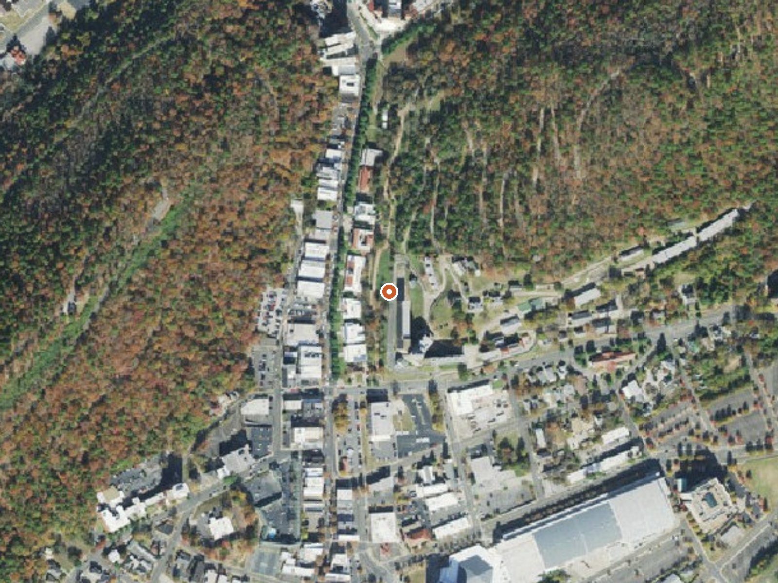
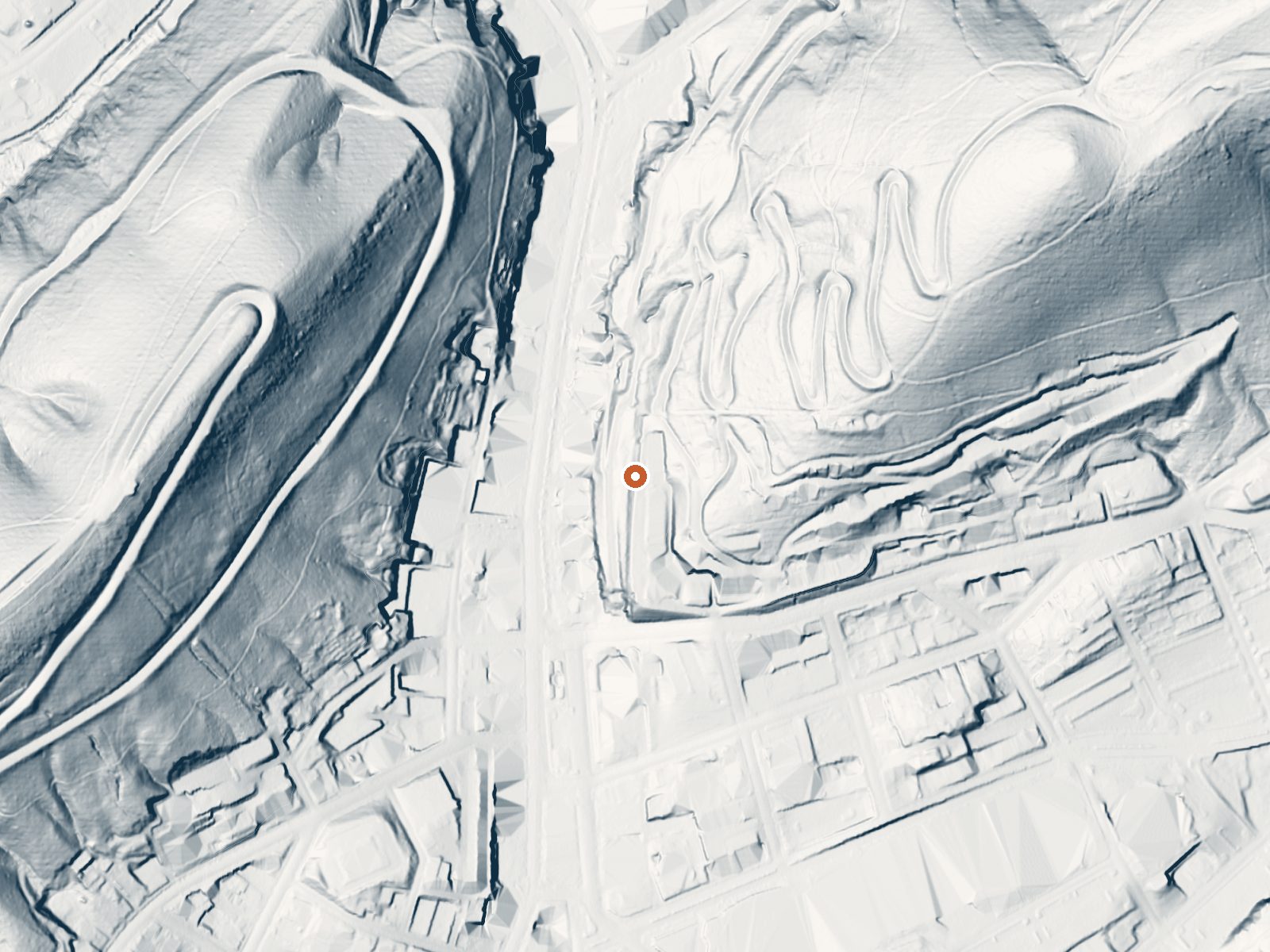
Drag the handle to compare the two views. The orange dot marks the spring, in a frame about three quarters of a mile wide.
- Setting
- Hillside
- The spring sits on a steep slope that climbs to the northwest.
- Highest ground nearby
- 312 ft above the spring
- Within a quarter mile, to the northwest
A slice through the ground from southwest to northeast, about 0.6 miles end to end.
Elevation data: USGS 3D Elevation Program. Aerial imagery: USGS The National Map. Public domain.
That's close to the US average of 65. It's higher than at 2% of the springs on this site.
Heat flow measures the warmth working its way up through the ground from deep inside the earth. Where it runs high, rain and snowmelt that seep down through cracks in the rock come back up hot.
See every spring on the geothermal heat map →
Heat flow estimate: Stanford Thermal Earth Model (Aljubran & Horne, 2024), CC BY 4.0.
The water at Hot Springs is neutral (pH 7.0) with 186 mg/L total dissolved solids.
Some links are affiliate links. We may earn a commission at no extra cost to you.
Overview Brady Mountain Campground delights visitors with its family-friendly facilities, fabulous views and idyllic placement on Arkansas's Lake Ouachita. The lake attracts visitors who come for the crystal clear waters and bountiful fishing opportunities. Click here for the Lake Ouachita Virtual Tour. Recreation A unique way to explore the lake is to follow the Geo-Float Trail, coined as the first water-based interpretive trail included in the National Trails System. The self-guided boat...
Hot Springs is road-accessible, so you can bring more gear. The water is dangerously hot, so bring water shoes and test pools carefully.




As an Amazon Associate, we earn from qualifying purchases.
Springs Near Hot Springs
More Springs Around 147°F
Neutral Springs (pH ~7.0)
Hike 2 waterfalls near Hot Springs
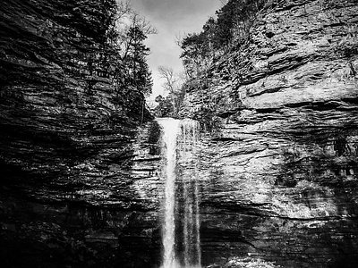
Looking for more outdoor adventures? Explore waterfall hikes near Hot Springs, Arkansas.