Spring On Little Missouri River

The record knows this one only by a description: a spring on the Little Missouri River, in Howard County, Arkansas, roughly 21 miles from Dierks. It lies in the Ouachita National Forest on Forest Service land with open access. The water is tepid, in the low seventies, warm enough to notice on a cold day and no more than that. There is an image attached.
A short walk of under half a mile from Crooked Creek Road gets you there. National forest ground at moderate elevation, in a climate that barely sees snow and gets a lot of rain. Self Creek Pavilion is the nearest listed campground, something near fifteen miles away.
December into February are the months recorded as best. Open access on national forest land means nothing special is required to walk in, though no trail is listed. At that temperature a soak is out. A fee is not listed. No chemistry or USGS record is attached, so the temperature reading is all you have to go on.
Aircraft with laser scanners measured this ground to within inches. The scan strips out trees and buildings, leaving the bare shape of the land around Spring On Little Missouri River.
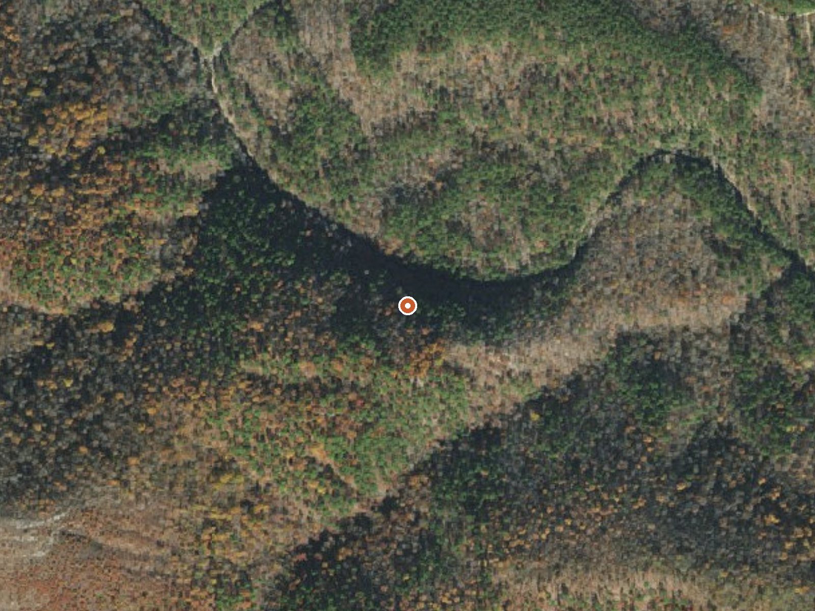
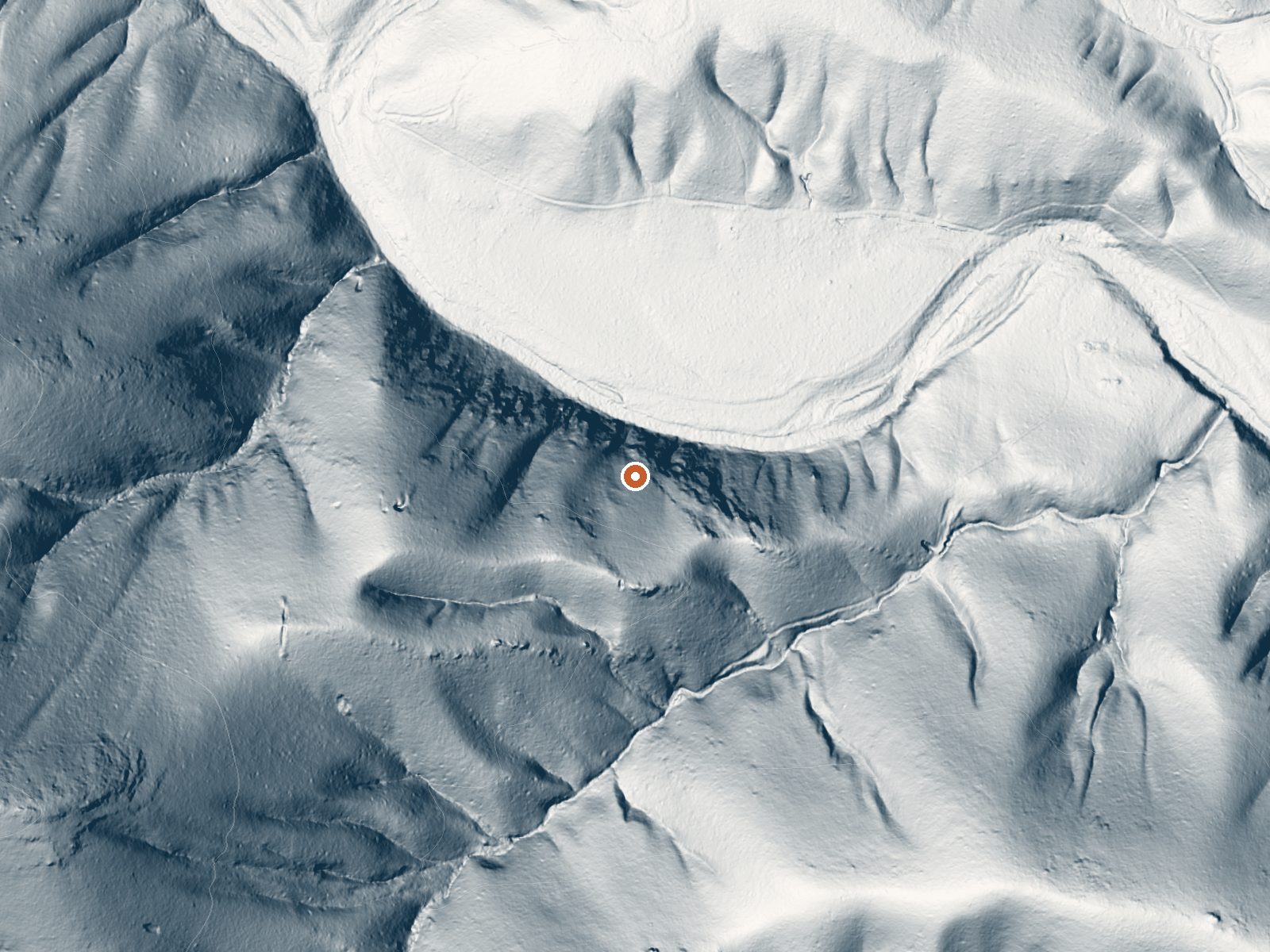
Drag the handle to compare the two views. The orange dot marks the spring, in a frame about three quarters of a mile wide.
- Setting
- Hillside
- The spring sits on a steep slope that climbs to the west.
- Highest ground nearby
- 377 ft above the spring
- Within a quarter mile, to the west
A slice through the ground from southwest to northeast, about 0.6 miles end to end.
Elevation data: USGS 3D Elevation Program. Aerial imagery: USGS The National Map. Public domain.
That's close to the US average of 65. It's higher than at 11% of the springs on this site.
Heat flow measures the warmth working its way up through the ground from deep inside the earth. Where it runs high, rain and snowmelt that seep down through cracks in the rock come back up hot.
See every spring on the geothermal heat map →
Heat flow estimate: Stanford Thermal Earth Model (Aljubran & Horne, 2024), CC BY 4.0.
Some links are affiliate links. We may earn a commission at no extra cost to you.
Overview Self Creek Pavilion is located on beautiful Lake Greeson with easy quick access just off US Highway 70. The pavilion is a large, covered group day use shelter available for reserving. Several picnic tables, one large grill, individual pedestal grills, electric outlets, and drinking fountain are available for use. A playground is located near the pavilion. Restrooms are within walking distance. The Self Creek Boat Ramp is available to provide access to the lake.
Spring On Little Missouri River is road-accessible, so you can bring more gear.




As an Amazon Associate, we earn from qualifying purchases.