Caddo Gap Springs
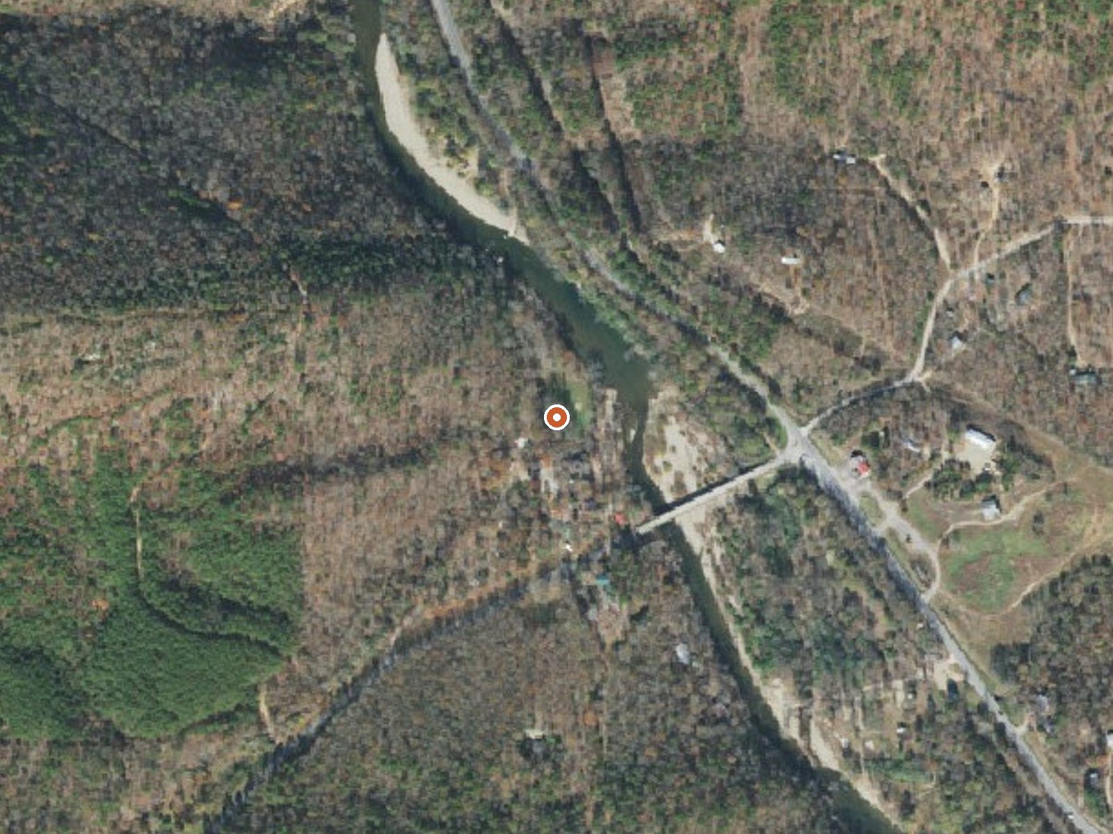
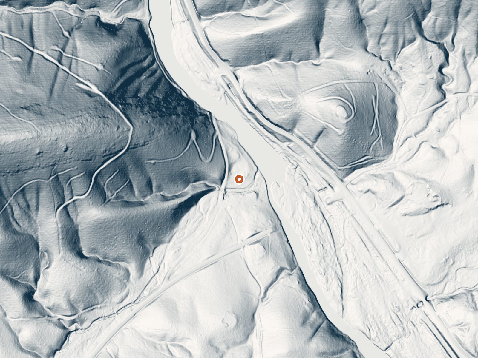
Drag the handle to compare the two views. The orange dot marks the spring, in a frame about three quarters of a mile wide.
Caddo Gap Springs, in Pike County, Arkansas, about six miles from Glenwood, has a recorded temperature in the mid nineties, which is bathwater. There is a USGS site record. Public access has not been recorded, and the owner is unnamed. Nobody has attached a chemistry sample either; the site number is the only USGS trace.
Right off Arrowhead Drive, a couple hundred feet back, at low elevation. Humid, mild, wet country with about four inches of snow a year and a lot of rain, so winter is the comfortable stretch. The record attaches no managing unit and names no owner.
The listed months run December through February. Kirby Landing is the nearest campground on file, a little under twelve miles away. Because ownership and access are both blank, confirm you are allowed on the ground before you go looking for the water. No fee is noted, and the record gives no road access beyond the distance itself.
Aircraft with laser scanners measured this ground to within inches. The scan strips out trees and buildings, leaving the bare shape of the land around Caddo Gap Springs.
- Setting
- Hillside
- The spring sits on a steep slope that climbs to the northwest.
- Highest ground nearby
- 398 ft above the spring
- Within a quarter mile, to the northwest
A slice through the ground from northwest to southeast, about 0.6 miles end to end.
Elevation data: USGS 3D Elevation Program. Aerial imagery: USGS The National Map. Public domain.
That's close to the US average of 65. It's higher than at 3% of the springs on this site.
Heat flow measures the warmth working its way up through the ground from deep inside the earth. Where it runs high, rain and snowmelt that seep down through cracks in the rock come back up hot.
See every spring on the geothermal heat map →
Heat flow estimate: Stanford Thermal Earth Model (Aljubran & Horne, 2024), CC BY 4.0.
Overview Kirby Landing Campground is located on Lake Greeson on the beautiful Little Missouri River in Pike County, Arkansas. The lake is approximately 12 miles long with 7,260 surface acres of water for water sports, picnicking and hiking along the forested lake shore.Recreation The Bear Creek Cycle Trail, located within the campground, is a draw for off-road enthusiasts. There are also 30 miles of walking, nature and cycling trails for public use. Lake Greeson is recognized for its rich...