Pecho Warm Springs
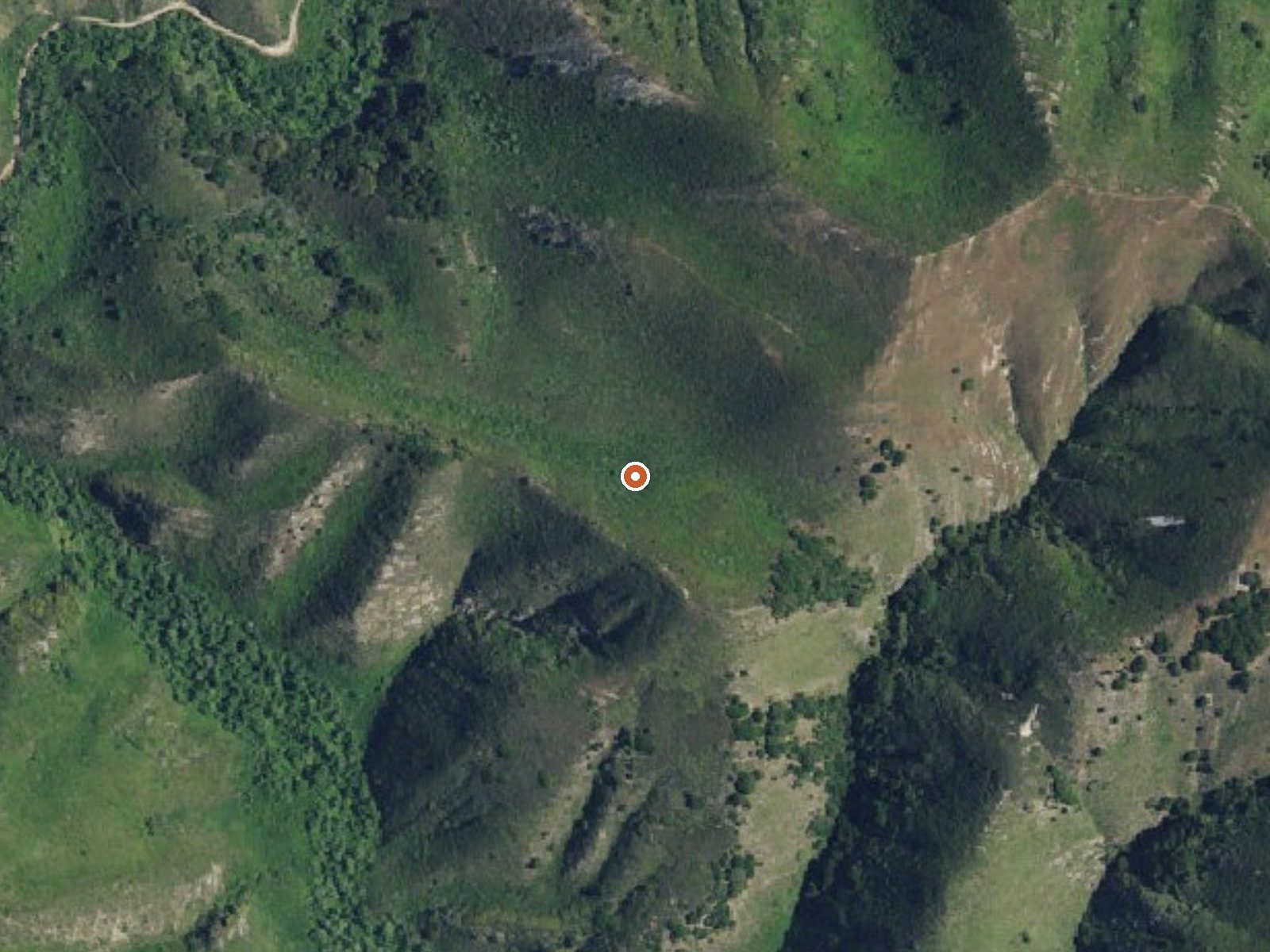
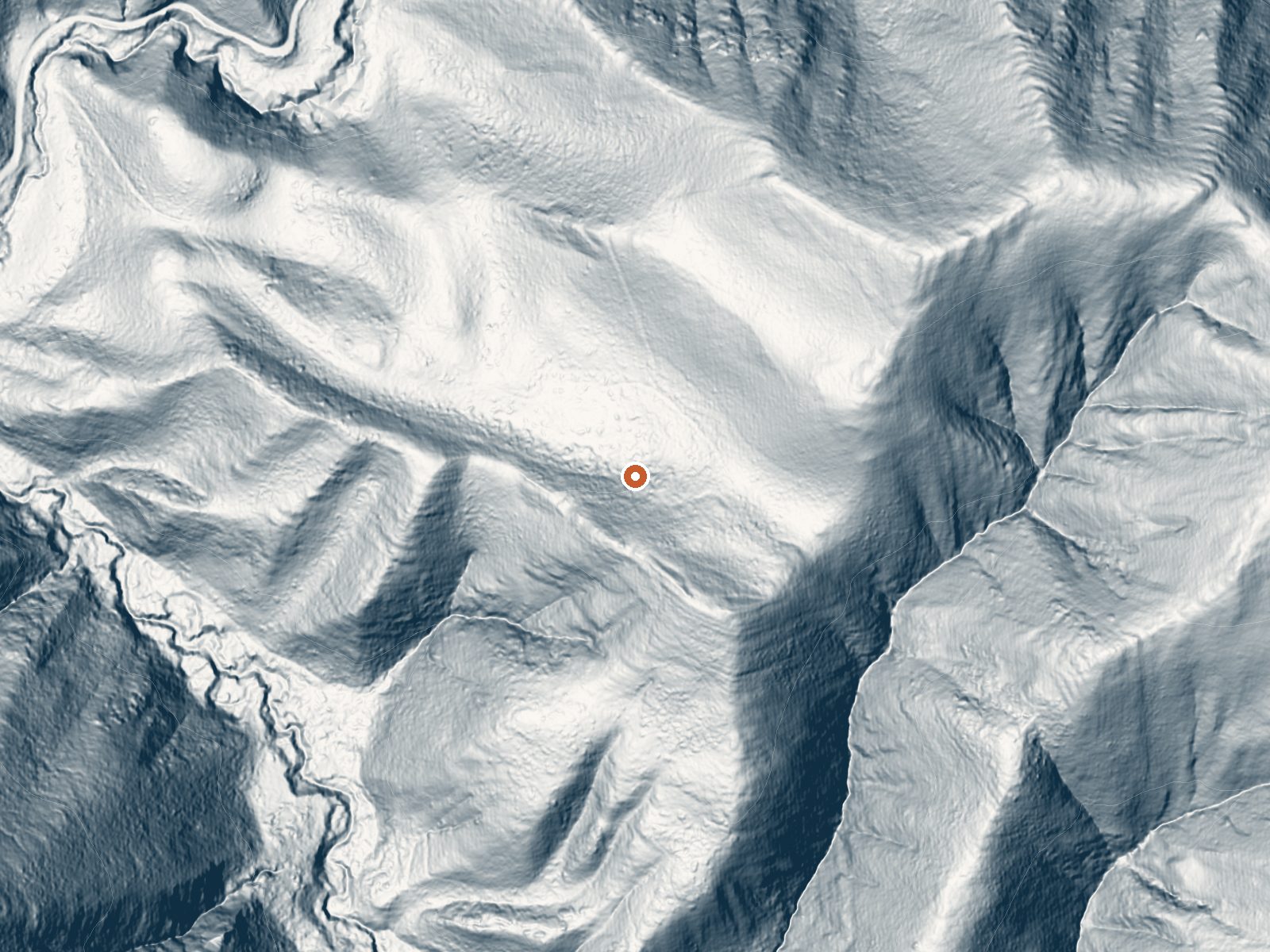
Drag the handle to compare the two views. The orange dot marks the spring, in a frame about three quarters of a mile wide.
Pecho Warm Springs is inside Montaña de Oro State Park near Los Osos, San Luis Obispo County. The water is a little below body temperature, soaking warm without being hot. Access is open under state park rules. Islay Creek Road leaves you a short walk away, a bit under a third of a mile, and Los Osos is three miles off.
State park ground, so the park's rules apply. Islay Creek Road is the approach. The elevation is modest, a few hundred feet, and the climate is mild year round with no snow and a moderate amount of winter rain. Nothing in the file describes the outlet or whether there is any kind of pool, so do not count on one.
The record leans toward winter, though with no snow and mild temperatures the spring is reachable year round. Access is open. Cerro Alto, about thirteen miles off and well outside the park, is the camping the record gives. No fee appears in the file; check whether the park charges for day use. The water is warm, well short of hot.
Aircraft with laser scanners measured this ground to within inches. The scan strips out trees and buildings, leaving the bare shape of the land around Pecho Warm Springs.
- Setting
- Canyon floor
- Steep ground climbs away on both sides of the spring.
- Highest ground nearby
- 369 ft above the spring
- Within a quarter mile, to the northeast
A slice through the ground from southwest to northeast, about 0.6 miles end to end.
Elevation data: USGS 3D Elevation Program. Aerial imagery: USGS The National Map. Public domain.
That's about 1½ times the US average of 65. It's higher than at 36% of the springs on this site.
Heat flow measures the warmth working its way up through the ground from deep inside the earth. Where it runs high, rain and snowmelt that seep down through cracks in the rock come back up hot.
See every spring on the geothermal heat map →
Heat flow estimate: Stanford Thermal Earth Model (Aljubran & Horne, 2024), CC BY 4.0.
Some links are affiliate links. We may earn a commission at no extra cost to you.
Overview Cerro Alto Campground is a well-known hiking and mountain biking paradise. It is located a short distance from the sandy beaches of Morro Bay, where visitors enjoy surfing, fishing, kayaking, sailing, scuba diving and more. While the campground offers a serene, relaxed environment, both Morro Bay and the nearby town of Atascadero offer numerous dining opportunities, shopping, museums and other activities. Wine Tasting in the Tempelton, Paso Robles Area is also a very popular experi...
Pecho Warm Springs is road-accessible, so you can bring more gear.




As an Amazon Associate, we earn from qualifying purchases.
Springs Near Pecho Warm Springs
More Springs Around 95°F
Hike 2 waterfalls near Pecho Warm Springs
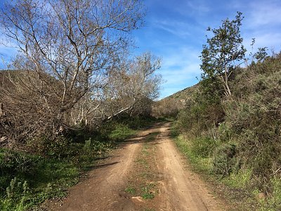

Looking for more outdoor adventures? Explore waterfall hikes near Pecho Warm Springs, California.