Hot Sulphur Springs
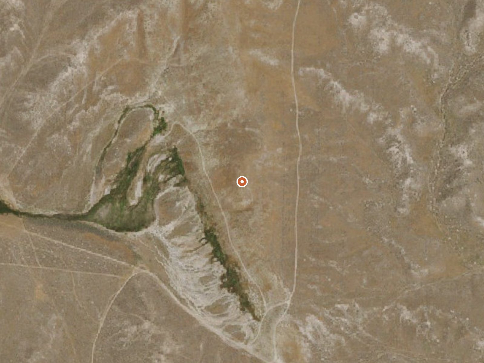
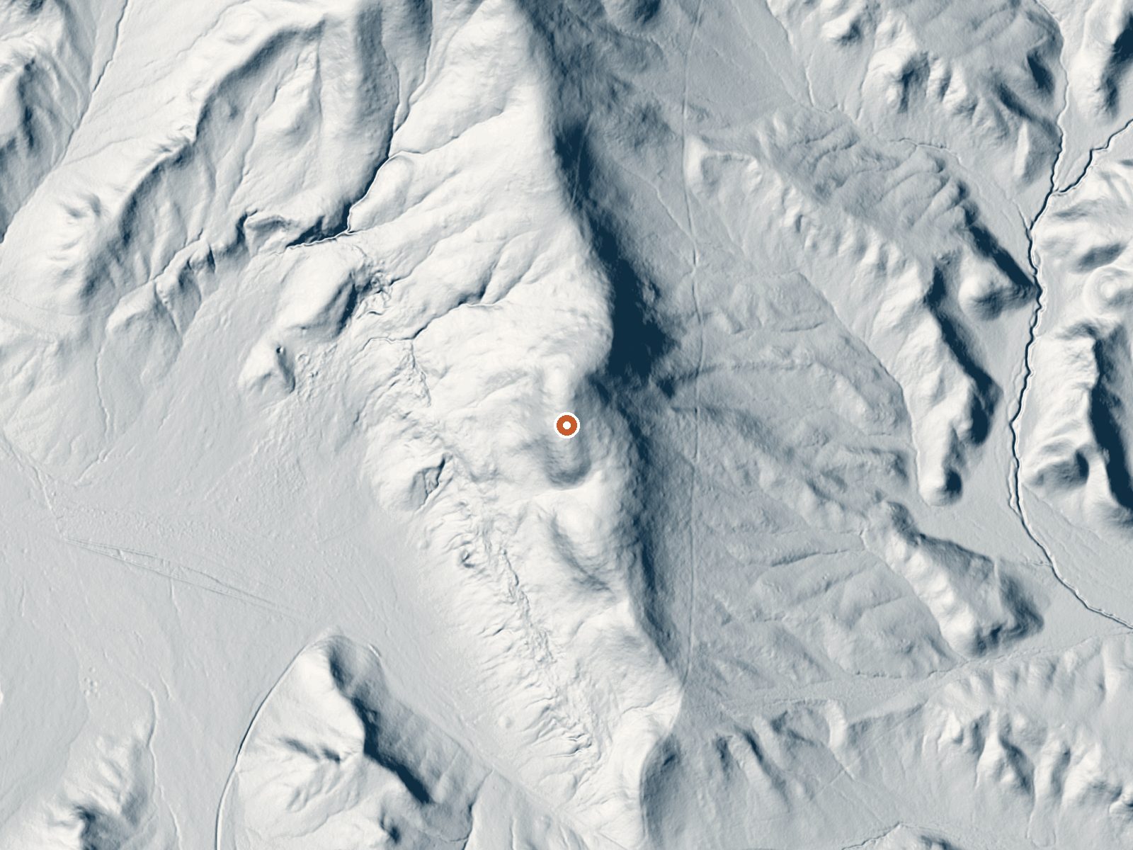
Drag the handle to compare the two views. The orange dot marks the spring, in a frame about three quarters of a mile wide.
Hot Sulphur Springs sits five miles from Carlin in Elko County, on public land under the BLM's Tuscarora Field Office, and the access is listed as open. That is the good news. The water is scalding, up near one hundred fifty degrees, so stand back and look. Nothing in the record describes a pool or any improvement at the source.
It is close to the road, eighty-odd yards, on high basin ground that runs a little over five thousand feet. Snow totals here top three feet most winters while the annual precipitation stays near a foot, which tells you the cold season is the wet season. The parcel is ordinary public land without a wilderness or recreation designation.
The winter months are marked best on the record. Expect snowy approaches then, even on a roadside stop. Water at this heat will scald skin on contact; keep children and dogs well back. There is no fee noted and no campground listed. Mineral chemistry is not on file.
Aircraft with laser scanners measured this ground to within inches. The scan strips out trees and buildings, leaving the bare shape of the land around Hot Sulphur Springs.
- Setting
- Gentle slope
- The ground tilts gently up to the north.
- Highest ground nearby
- 14 ft above the spring
- Within a quarter mile, to the north
A slice through the ground from south to north, about 0.6 miles end to end.
Elevation data: USGS 3D Elevation Program. Aerial imagery: USGS The National Map. Public domain.
That's about 1½ times the US average of 65. It's higher than at 43% of the springs on this site.
Heat flow measures the warmth working its way up through the ground from deep inside the earth. Where it runs high, rain and snowmelt that seep down through cracks in the rock come back up hot.
See every spring on the geothermal heat map →
Heat flow estimate: Stanford Thermal Earth Model (Aljubran & Horne, 2024), CC BY 4.0.