Haven Lodge Hot Spring
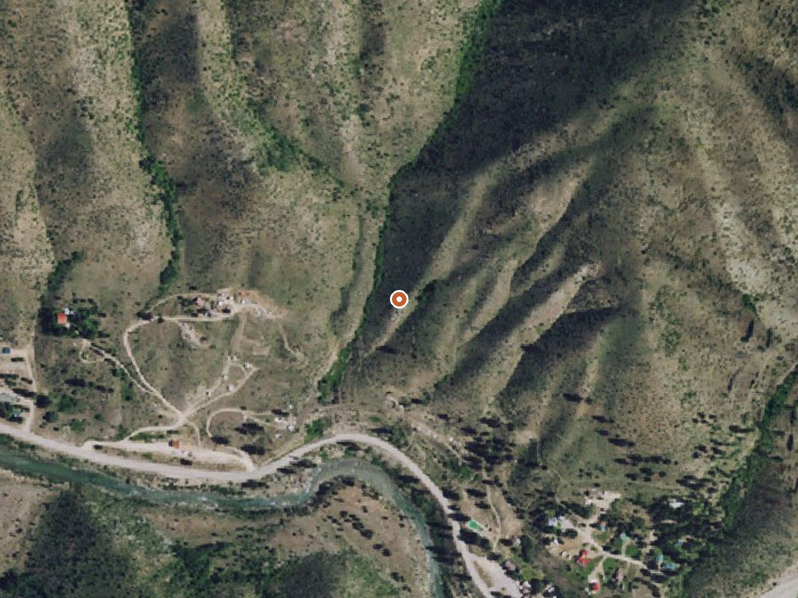
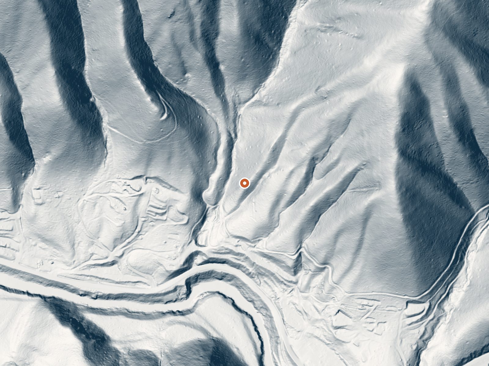
Drag the handle to compare the two views. The orange dot marks the spring, in a frame about three quarters of a mile wide.
On the Boise National Forest about twenty-two miles from Idaho City, Haven Lodge Hot Spring is a Forest Service thermal source in Boise County, Idaho, with open public access on record. What the record says plainly is that the water is scalding, hot enough that touching it is a bad idea, and that its chemistry was last checked in the late 1970s. Camping is close.
The Ponderosa Pine Scenic Route is a tenth-mile off, so the approach is a short walk from the highway. Boise National Forest land, at a modest elevation for this part of Idaho. The winters here are wet and deep. Something like thirteen feet of snow falls in a normal winter, and the whole area gets a good deal more rain than the dry south of the state.
December through February are flagged as the best months on record, heavy snow and all. The Kirkham campground is a bit over half a mile away. The big warning is the water. At the recorded temperature it will scald, and the record has nothing about cooler pools, so look before you touch. The chemistry reading is from 1979.
Aircraft with laser scanners measured this ground to within inches. The scan strips out trees and buildings, leaving the bare shape of the land around Haven Lodge Hot Spring.
- Setting
- Hillside
- The spring sits on a steep slope that climbs to the northeast.
- Highest ground nearby
- 563 ft above the spring
- Within a quarter mile, to the northeast
A slice through the ground from southwest to northeast, about 0.6 miles end to end.
Elevation data: USGS 3D Elevation Program. Aerial imagery: USGS The National Map. Public domain.
That's about twice the US average of 65. It's higher than at 90% of the springs on this site.
Heat flow measures the warmth working its way up through the ground from deep inside the earth. Where it runs high, rain and snowmelt that seep down through cracks in the rock come back up hot.
See every spring on the geothermal heat map →
Heat flow estimate: Stanford Thermal Earth Model (Aljubran & Horne, 2024), CC BY 4.0.
The water at Haven Lodge Hot Spring is alkaline (pH 9.2).
Some links are affiliate links. We may earn a commission at no extra cost to you.
Overview Kirkham Campground is located next to the South Fork Payette River just east of Lowman, Idaho, along Highway 21 at an elevation of 4,000 feet. Visitors enjoy soaking in popular Kirkham Hot Springs on the banks of the river and exploring the scenic Kirkham Ridge Trail. Recreation Popular Kirkham Hot Springs is located at the river's edge within the campground. A trail with staircases leads down to the soaking pools and small steaming waterfalls. The South Fork Payette River offers...
Haven Lodge Hot Spring is road-accessible, so you can bring more gear. The water is dangerously hot, so bring water shoes and test pools carefully.





As an Amazon Associate, we earn from qualifying purchases.
Springs Near Haven Lodge Hot Spring
More Springs Around 147°F
Alkaline Springs (pH ~9.2)
Hike 6 waterfalls near Haven Lodge Hot Spring
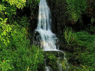
Looking for more outdoor adventures? Explore waterfall hikes near Haven Lodge Hot Spring, Idaho.