Unnamed Thermal Spring
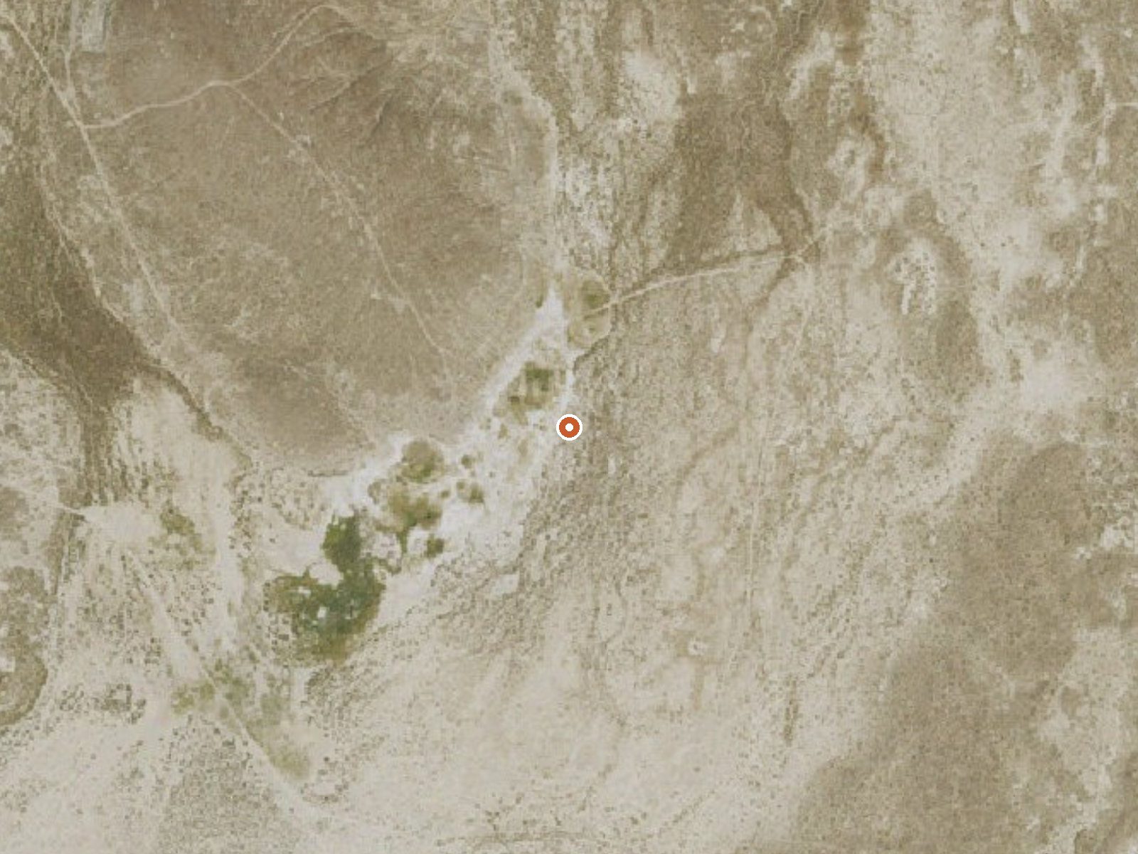
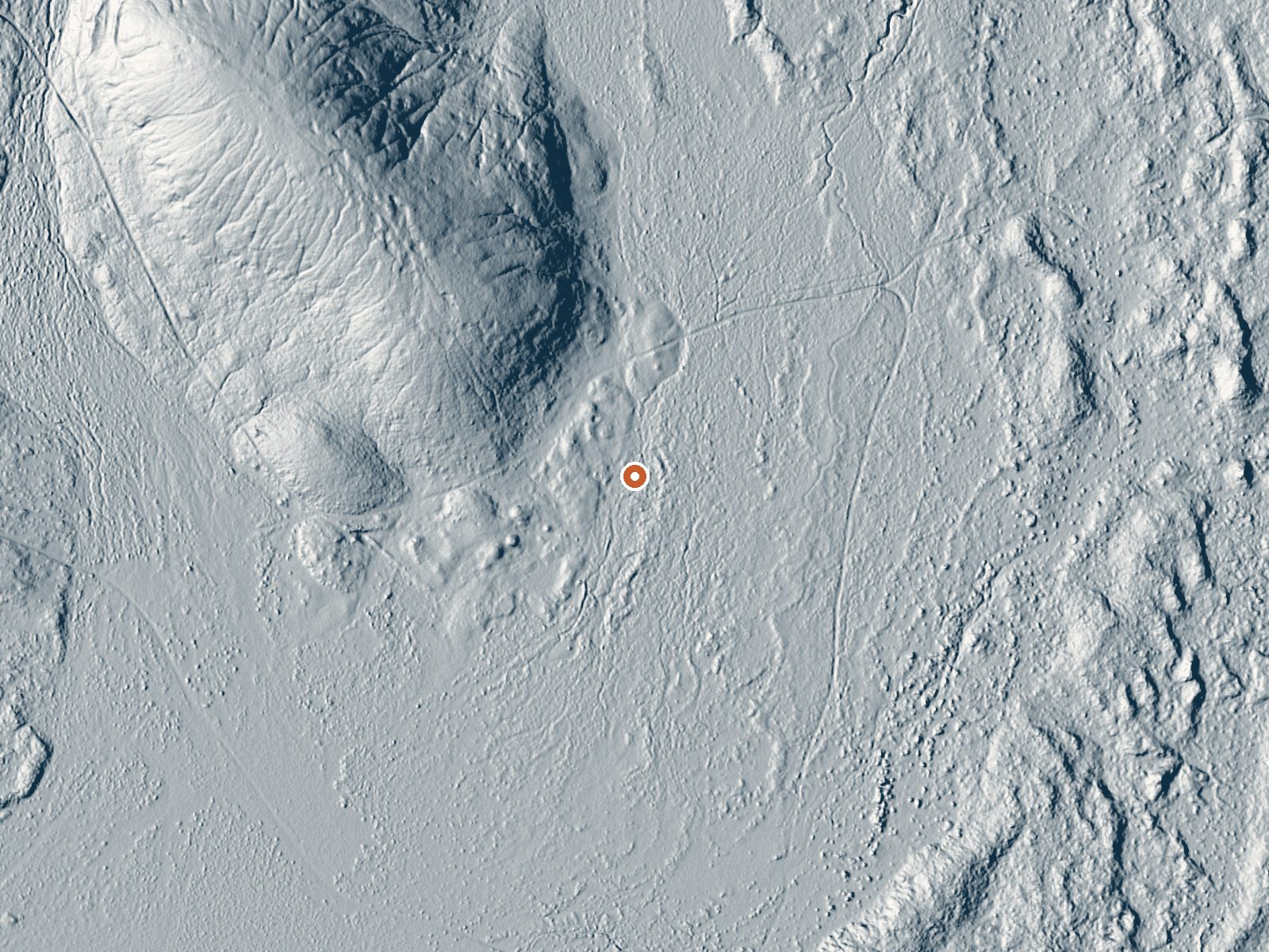
Drag the handle to compare the two views. The orange dot marks the spring, in a frame about three quarters of a mile wide.
Roughly twenty miles out of Winnemucca, this unnamed Humboldt County thermal point gives up water that is barely warm, somewhere near what a swimming pool feels like in June. It sits on BLM land, Humboldt River Field Office, and is listed as open. The only chemistry on file comes from a USGS sample taken in the summer of 1961, which showed strongly alkaline water carrying a heavy mineral load.
Midas Road comes within a little over half a mile, which leaves the last stretch on foot. Elevation is middling for Nevada basin country. Snow runs around two feet in winter and the whole year is dry. Public land surrounds it, at least as far as the record goes, carrying no special designation.
Winter months score best on the record, December through February, though with water this cool there is no warmth to be had from it on a cold day. Expect the walk from Midas Road. Nothing on file mentions a fee or a place to camp. The pH reading is from 1961, and a number that old says little about what is coming out of the ground now.
Aircraft with laser scanners measured this ground to within inches. The scan strips out trees and buildings, leaving the bare shape of the land around this spring.
- Setting
- Open ground
- Flat, open ground all around.
- Highest ground nearby
- 56 ft above the spring
- Within a quarter mile, to the northwest
A slice through the ground from northwest to southeast, about 0.6 miles end to end.
Elevation data: USGS 3D Elevation Program. Aerial imagery: USGS The National Map. Public domain.
That's about twice the US average of 65. It's higher than at 70% of the springs on this site.
Heat flow measures the warmth working its way up through the ground from deep inside the earth. Where it runs high, rain and snowmelt that seep down through cracks in the rock come back up hot.
See every spring on the geothermal heat map →
Heat flow estimate: Stanford Thermal Earth Model (Aljubran & Horne, 2024), CC BY 4.0.
The water at This spring is alkaline (pH 9.2) with 1500 mg/L total dissolved solids. It is notably rich in sodium (supports circulation and skin hydration) and total dissolved solids (higher mineral concentration for therapeutic soaking).
Some links are affiliate links. We may earn a commission at no extra cost to you.
this spring is road-accessible, so you can bring more gear.






As an Amazon Associate, we earn from qualifying purchases.