Bonneville Hot Springs
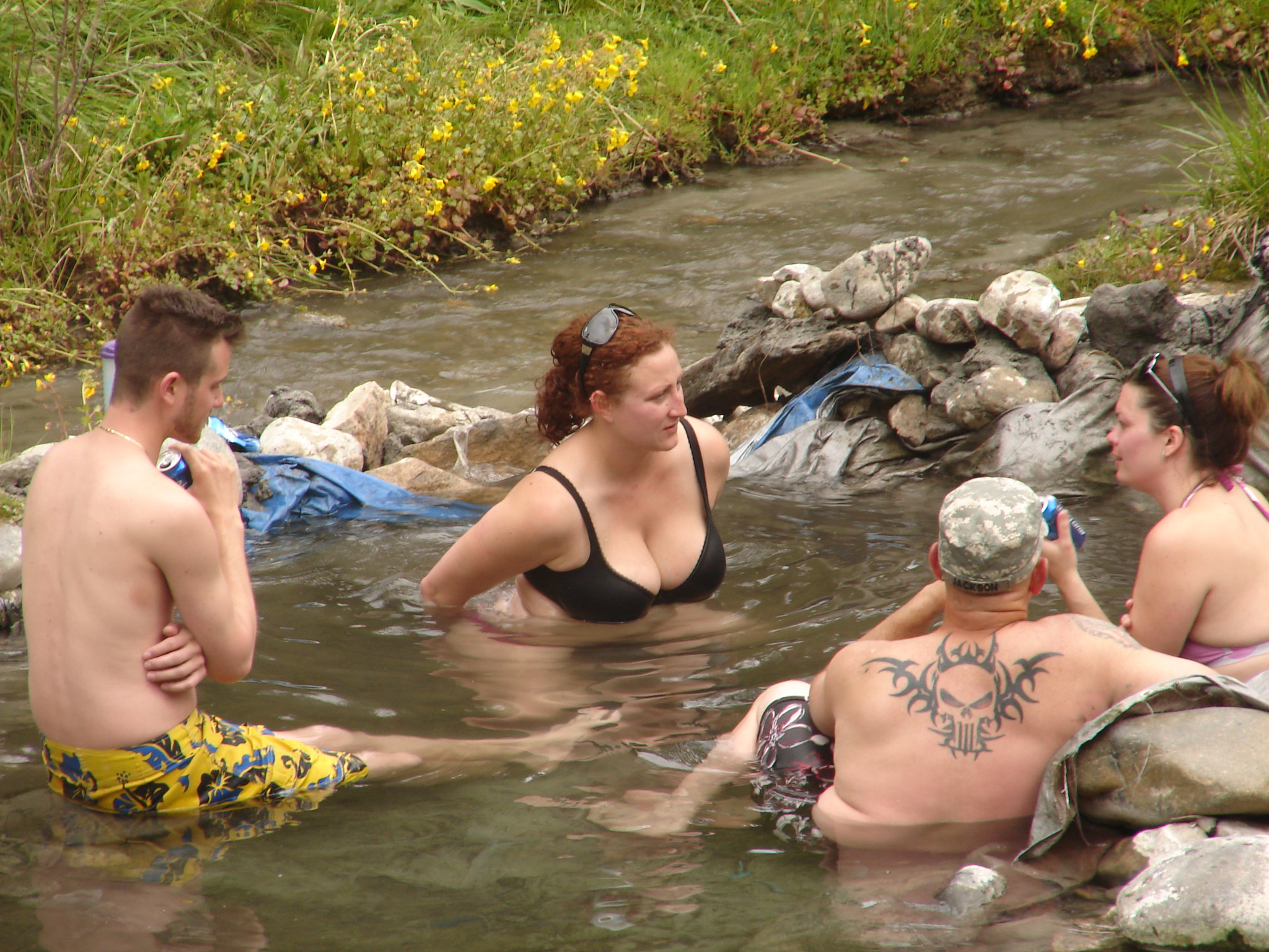
Nobody is putting a hand in this water. Bonneville Hot Springs runs scalding where it surfaces, in the Boise National Forest of Boise County, and the nearest town, Idaho City, sits a long 34 miles off. Access is listed as open. A Forest Service campground of the same name sits close by, so of the places in the forest north of Idaho City, this is one of the easier ones to sleep beside.
You leave the car at the end of Bonneville Trailhead Road and walk about a third of a mile. The spring sits at mid elevation in conifer country and the winters here are heavy. Something close to fifteen feet of snow lands in an average year. The rest of the year brings a fair amount of rain, so this is wet mountain forest, nothing like the sagebrush country further south in the state.
December through February carry the best-months tag on file, which is odd given how much snow falls, so treat that as a note about the water and find out whether the trailhead road is even passable before you drive up. Bonneville campground is under half a mile away. The temperature reading dates from a survey in 1979. Source water that hot will burn you. Nothing on file says whether there is a cooler pool downstream.
Aircraft with laser scanners measured this ground to within inches. The scan strips out trees and buildings, leaving the bare shape of the land around Bonneville Hot Springs.
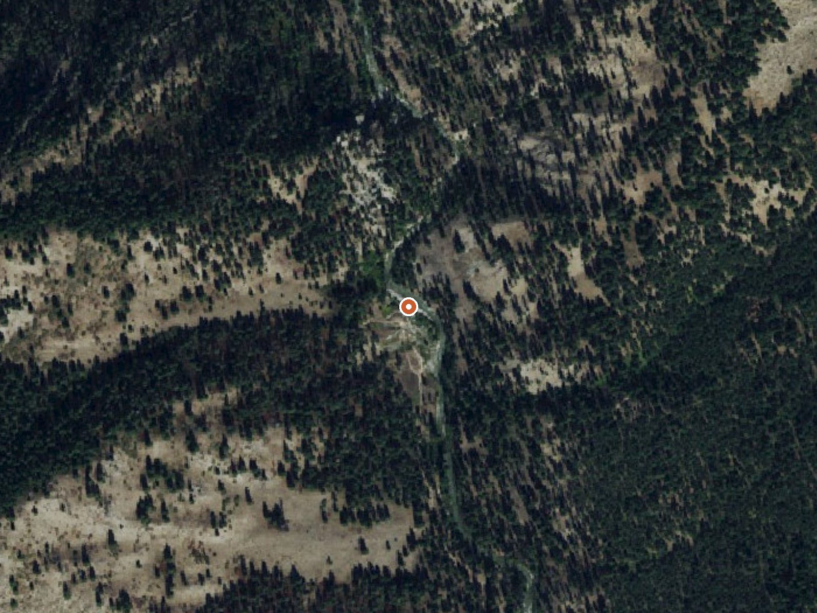
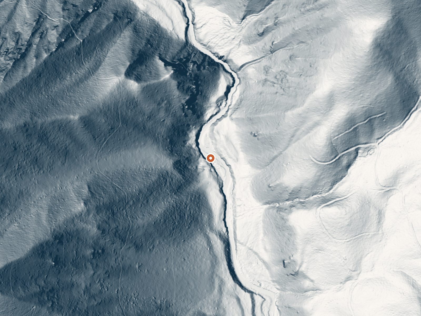
Drag the handle to compare the two views. The orange dot marks the spring, in a frame about three quarters of a mile wide.
- Setting
- Canyon floor
- Steep ground climbs away on both sides of the spring.
- Highest ground nearby
- 783 ft above the spring
- Within a quarter mile, to the west
A slice through the ground from west to east, about 0.6 miles end to end.
Elevation data: USGS 3D Elevation Program. Aerial imagery: USGS The National Map. Public domain.
That's about twice the US average of 65. It's higher than at 92% of the springs on this site.
Heat flow measures the warmth working its way up through the ground from deep inside the earth. Where it runs high, rain and snowmelt that seep down through cracks in the rock come back up hot.
See every spring on the geothermal heat map →
Heat flow estimate: Stanford Thermal Earth Model (Aljubran & Horne, 2024), CC BY 4.0.
The water at Bonneville Hot Springs is alkaline (pH 9.3).
Some links are affiliate links. We may earn a commission at no extra cost to you.
Overview Bonneville Campground is 19 miles east of Lowman, Idaho just off Highway 21 at an elevation of 4,700 feet. Warm Springs Creek runs alongside the campground and the South Fork Payette River lies across the highway. Visitors enjoy soaking at Bonneville Hot Springs a short distance above the campground, and fishing in the creek and river.Recreation A 1/4-mile hiking trail leads from the campground to Bonneville Hot Springs, where a soaking pool awaits. Warm Springs Creek offers good tro...
Bonneville Hot Springs is road-accessible, so you can bring more gear. The water is dangerously hot, so bring water shoes and test pools carefully. Cold air temperatures make a changing robe or warm layers essential.





As an Amazon Associate, we earn from qualifying purchases.
Springs Near Bonneville Hot Springs
More Springs Around 185°F
Alkaline Springs (pH ~9.3)
Hike 6 waterfalls near Bonneville Hot Springs
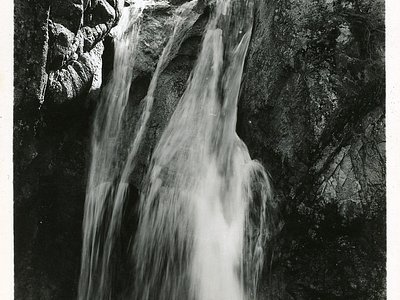
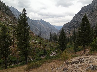
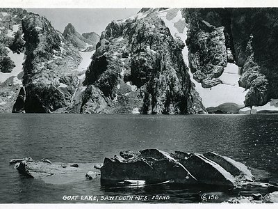
Looking for more outdoor adventures? Explore waterfall hikes near Bonneville Hot Springs, Idaho.