Cape Horn Warm Springs
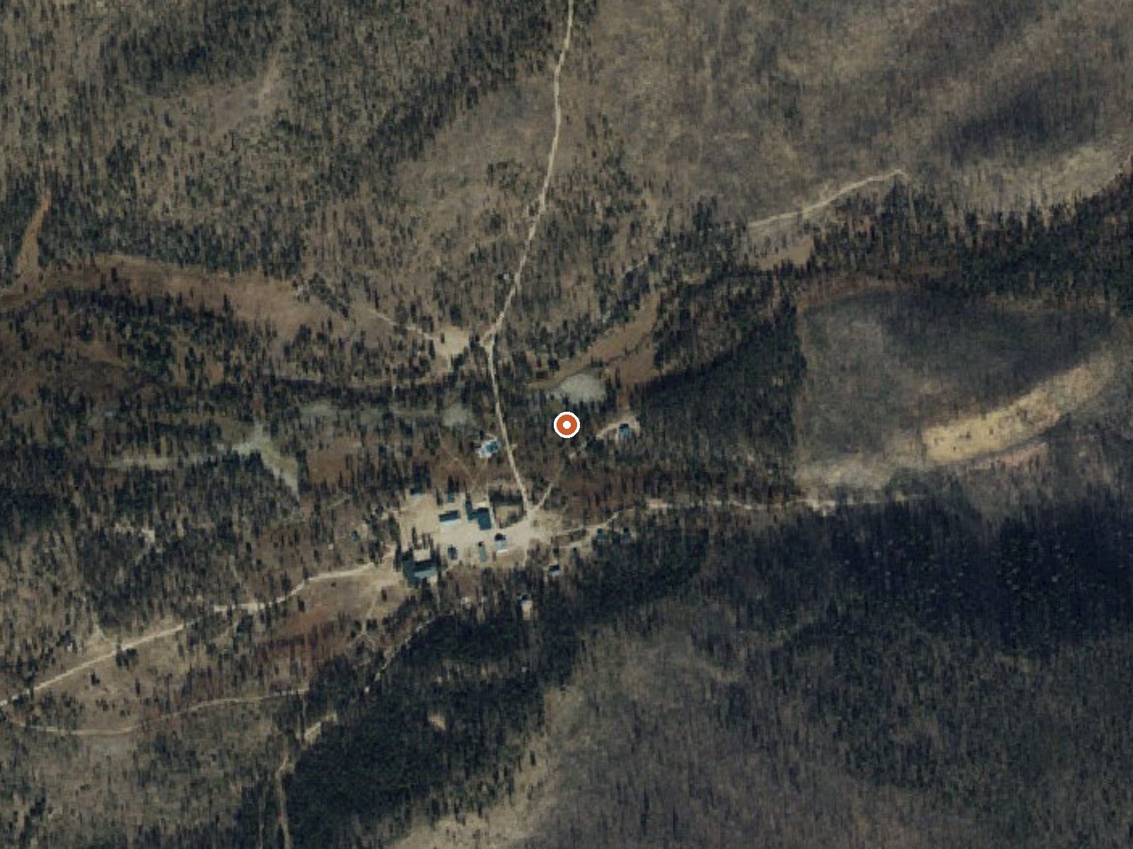
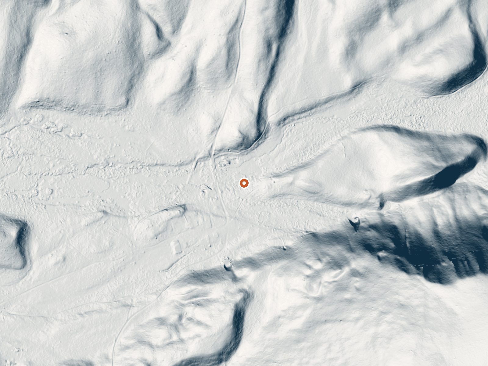
Drag the handle to compare the two views. The orange dot marks the spring, in a frame about three quarters of a mile wide.
Cape Horn Warm Springs comes out at a temperature a person can sit in, around body heat, the kind of warm you can sit in for a while. It is a long way from anywhere. Idaho City, the nearest town in the record, is more than fifty miles off, and the spring sits up at sixty-five hundred feet in Boise County. Public access is not documented and no land owner is listed, so treat the legal side as an open question.
You leave Beaver Creek Road and walk about seven tenths of a mile. This is high country, and the snow total is brutal, close to fifteen feet a winter, so count on the road being snowbound for a long stretch of the year. Thatcher Campground is close, around two miles. Precipitation is moderate. Nothing in the file says who manages the ground or what the walk is like.
The file rates winter highest. Square that with the snow before you plan anything. There is no burn risk at this temperature. The pH figure comes from an August 1980 sample. Access is unknown; ask before you go. Thatcher is the campground to use, and it is near enough to matter.
Aircraft with laser scanners measured this ground to within inches. The scan strips out trees and buildings, leaving the bare shape of the land around Cape Horn Warm Springs.
- Setting
- Hillside
- The spring sits on a steep slope that climbs to the southeast.
- Highest ground nearby
- 292 ft above the spring
- Within a quarter mile, to the southeast
A slice through the ground from northwest to southeast, about 0.6 miles end to end.
Elevation data: USGS 3D Elevation Program. Aerial imagery: USGS The National Map. Public domain.
That's about twice the US average of 65. It's higher than at 78% of the springs on this site.
Heat flow measures the warmth working its way up through the ground from deep inside the earth. Where it runs high, rain and snowmelt that seep down through cracks in the rock come back up hot.
See every spring on the geothermal heat map →
Heat flow estimate: Stanford Thermal Earth Model (Aljubran & Horne, 2024), CC BY 4.0.
The water at Cape Horn Warm Springs is alkaline (pH 9.6).
Some links are affiliate links. We may earn a commission at no extra cost to you.
This campground is just off Highway 21, and tucked back into the trees, overlooking beautiful Capehorn meadows. Walk across the street to overlook a marshy wetland, a hangout for breakfasting moose, elk, and a variety of birds. Each of the 5 sites is equipped with picnic tables and fire rings with cooking grills. The campground accommodates trailers and motorhomes up to 32 feet and has vault toilets and hand pumps for drinking water. Although there are no full hookups, the campground will fit...
Cape Horn Warm Springs sits at 6,555 feet above sea level, way above the mile-high mark. You may not feel the altitude strongly, but hot water still dehydrates you faster at elevation. UV is about 26% stronger than at sea level, so bring sunscreen and drink more water than you normally would.



As an Amazon Associate, we earn from qualifying purchases.
Cape Horn Warm Springs is road-accessible, so you can bring more gear. Cold air temperatures make a changing robe or warm layers essential.






As an Amazon Associate, we earn from qualifying purchases.
Springs Near Cape Horn Warm Springs
More Springs Around 95°F
Alkaline Springs (pH ~9.6)
Hike 6 waterfalls near Cape Horn Warm Springs
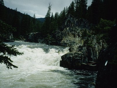
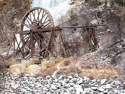

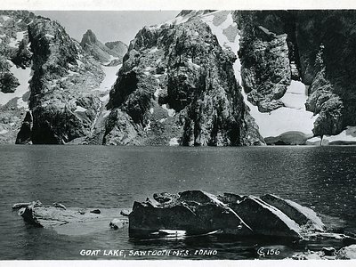
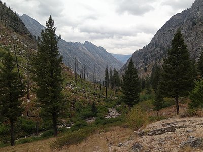
Looking for more outdoor adventures? Explore waterfall hikes near Cape Horn Warm Springs, Idaho.