Hot Springs
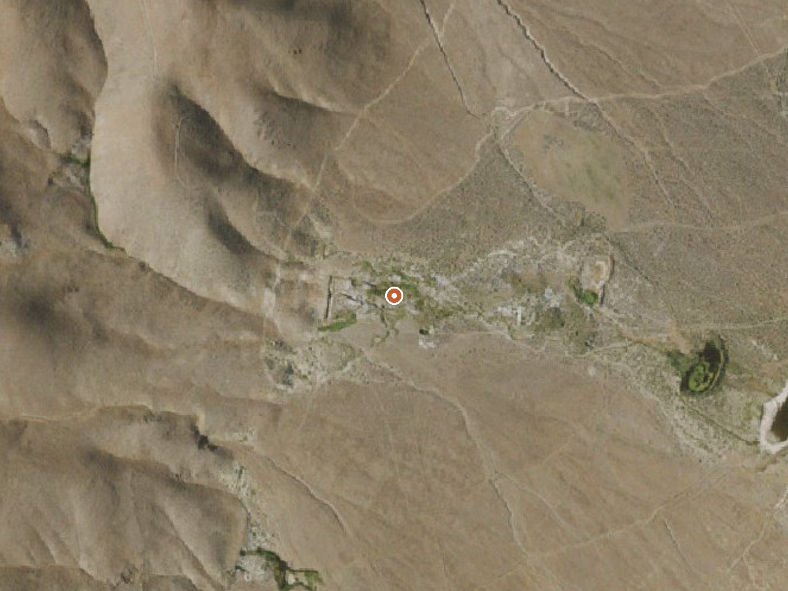
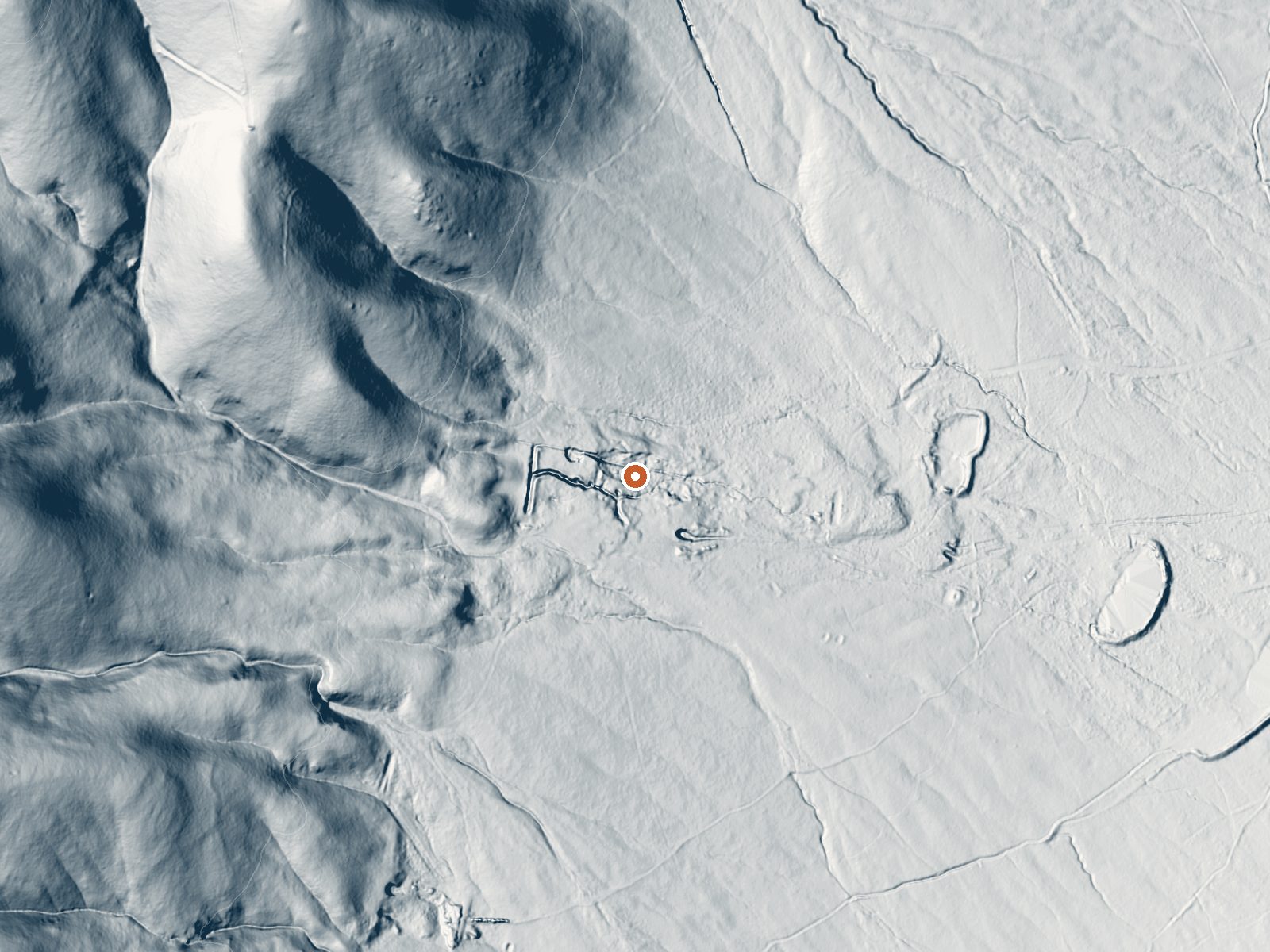
Drag the handle to compare the two views. The orange dot marks the spring, in a frame about three quarters of a mile wide.
Another of Humboldt County's plainly named thermal points, this one roughly nineteen miles from Winnemucca and hot enough to hurt. At one hundred eighty-five degrees the water is near boiling. The USGS logged it as a sampling site and took water chemistry in 1974, which remains the last analysis on file. Ownership and public access are both unrecorded.
It sits about forty yards off a road, though the record leaves that road without a name. This is a dry corner of Nevada, eleven inches of moisture in a typical year, with winters that drop somewhere north of two feet of snow on ground a shade under five thousand feet up. Land unit and designation are both empty.
Drive-up access makes this an easy stop, and the cool months, December into February, are the ones marked best. Do not touch the source water. It will scald instantly. The chemistry numbers are fifty years old, so the alkaline reading and the mineral list may no longer hold. Who owns the land, and if you can legally stand on it, is unknown.
The USGS carries this spring as a monitored site, and the single water sample it took in 1974 is the only scientific record attached to the place.
Aircraft with laser scanners measured this ground to within inches. The scan strips out trees and buildings, leaving the bare shape of the land around Hot Springs.
- Setting
- Gentle slope
- The ground tilts gently up to the northwest.
- Highest ground nearby
- 260 ft above the spring
- Within a quarter mile, to the northwest
A slice through the ground from northwest to southeast, about 0.6 miles end to end.
Elevation data: USGS 3D Elevation Program. Aerial imagery: USGS The National Map. Public domain.
That's about twice the US average of 65. It's higher than at 69% of the springs on this site.
Heat flow measures the warmth working its way up through the ground from deep inside the earth. Where it runs high, rain and snowmelt that seep down through cracks in the rock come back up hot.
See every spring on the geothermal heat map →
Heat flow estimate: Stanford Thermal Earth Model (Aljubran & Horne, 2024), CC BY 4.0.
The water at Hot Springs is slightly alkaline (pH 8.4).
Some links are affiliate links. We may earn a commission at no extra cost to you.
Hot Springs is road-accessible, so you can bring more gear. The water is dangerously hot, so bring water shoes and test pools carefully.





As an Amazon Associate, we earn from qualifying purchases.