De Maris Springs
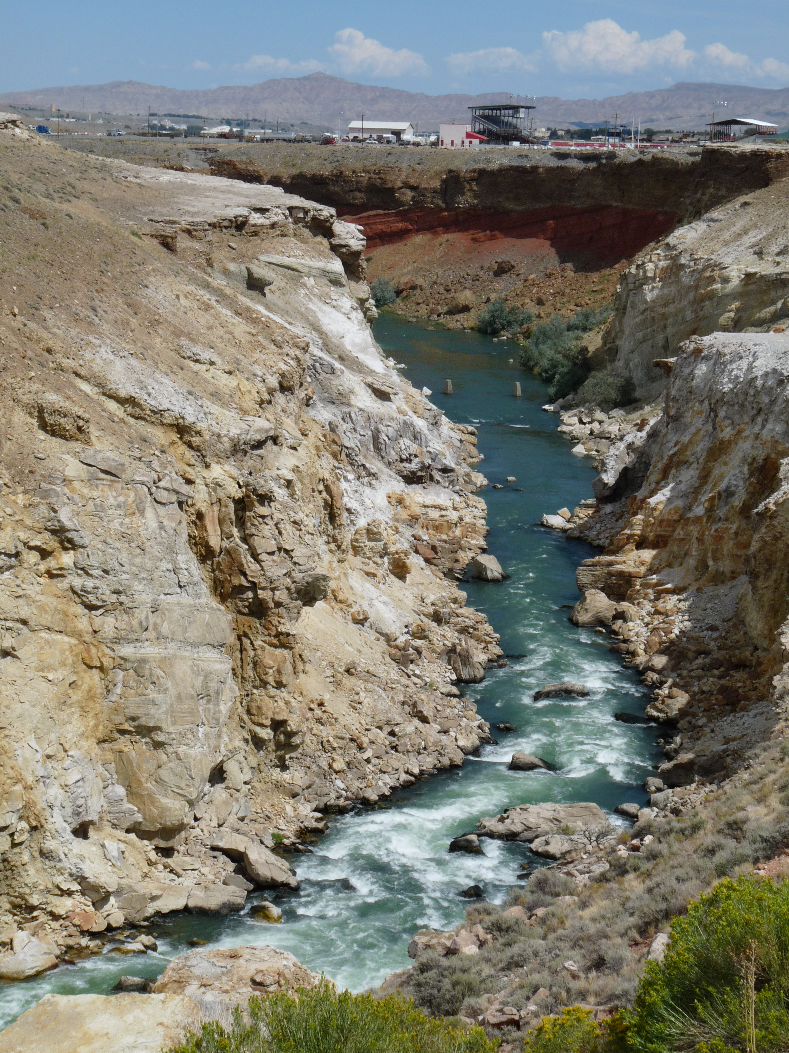
De Maris Springs comes up near Cody, Wyoming, three miles from town in Park County, in the thermal ground Wikipedia describes as Colter's Hell. The water is close to body temperature, a soaking temperature. Neither ownership nor public access is recorded. The mineral load is heavy by the 1970 sample, the last chemistry on file.
Under two hundred feet from the nearest road, and the road itself is unnamed in what we have. Elevation is a shade under five thousand feet, a dry basin where precipitation comes to less than a foot and a half a year and snowfall to around four feet. No land unit is listed. Camping is far: Hogan and Luce Campground, twenty miles out.
Nothing on file says you may go here, so find the owner before you try. The temperature is a comfortable soak if you do get in, no burn risk. Winter is the season the record favors. The chemistry figures are from 1970 and the dissolved solids are high, so the water is heavily mineralized by that measure.
The Wikipedia page attached to this record is for Colter's Hell, a square mile of fumaroles and hot springs at the mouth of the Shoshone River's canyon near Cody. John Colter, who left the Lewis and Clark Expedition before it finished, came through in the winter of 1807 to 1808 and described the place; its thermal activity has faded since. The USGS also lists De Maris as a sampled site.
Aircraft with laser scanners measured this ground to within inches. The scan strips out trees and buildings, leaving the bare shape of the land around De Maris Springs.
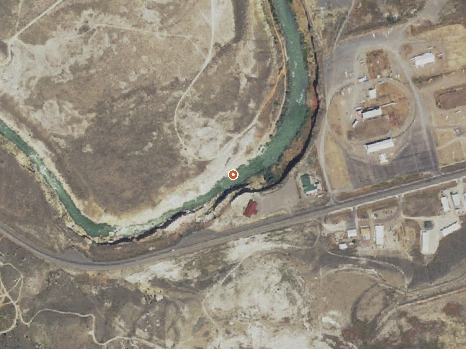
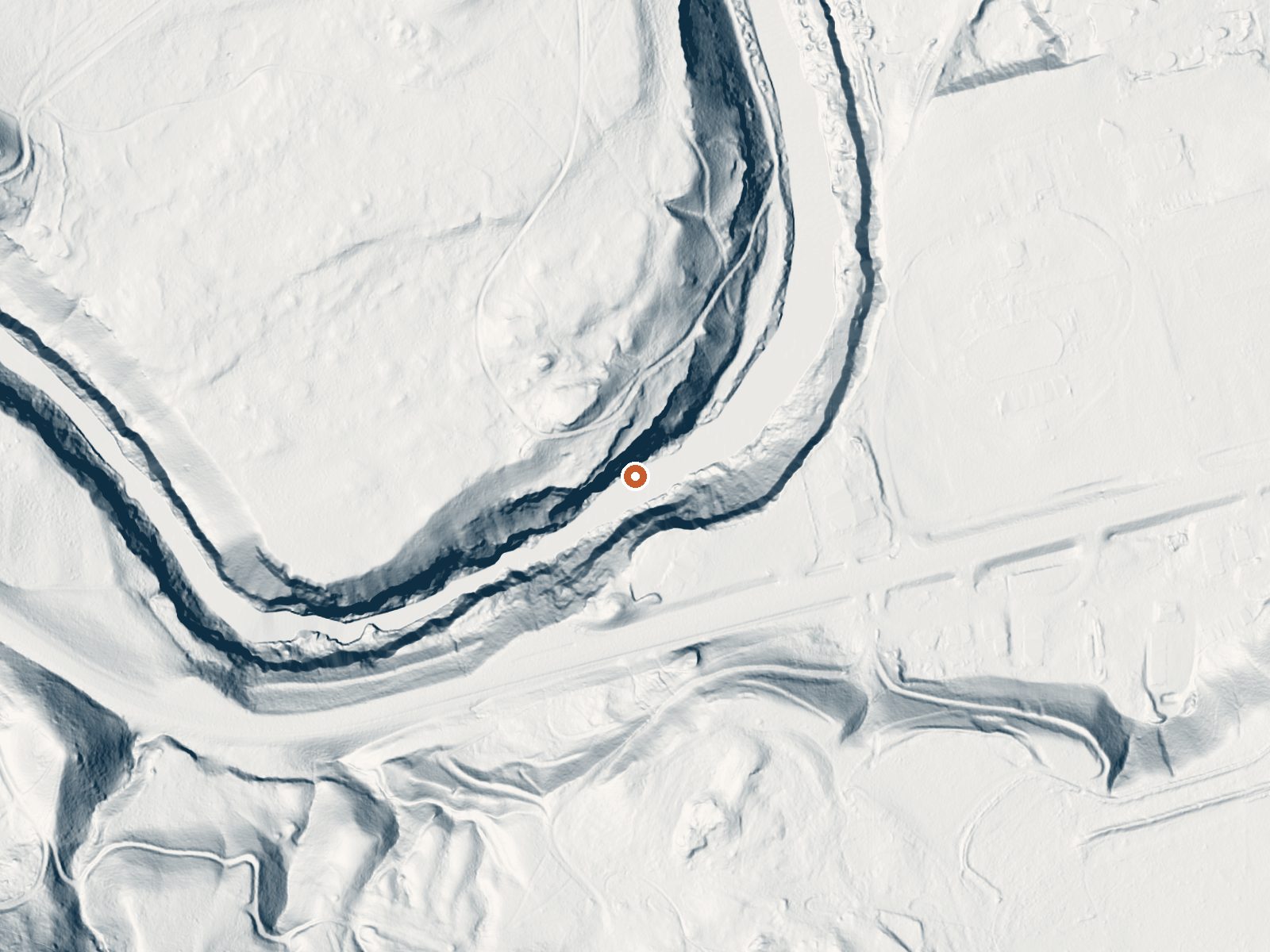
Drag the handle to compare the two views. The orange dot marks the spring, in a frame about three quarters of a mile wide.
- Setting
- Canyon floor
- Steep ground climbs away on both sides of the spring.
- Highest ground nearby
- 256 ft above the spring
- Within a quarter mile, to the south
A slice through the ground from north to south, about 0.6 miles end to end.
Elevation data: USGS 3D Elevation Program. Aerial imagery: USGS The National Map. Public domain.
That's close to the US average of 65. It's higher than at 2% of the springs on this site.
Heat flow measures the warmth working its way up through the ground from deep inside the earth. Where it runs high, rain and snowmelt that seep down through cracks in the rock come back up hot.
See every spring on the geothermal heat map →
Heat flow estimate: Stanford Thermal Earth Model (Aljubran & Horne, 2024), CC BY 4.0.
The water at De Maris Springs is neutral (pH 7.0) with 1400 mg/L total dissolved solids. It is notably rich in calcium (may support bone density and joint health), magnesium (known for muscle relaxation and stress relief), and sulfate (traditionally used for skin conditions and inflammation).
Some links are affiliate links. We may earn a commission at no extra cost to you.
The Hogan and Luce Campground has five individual camp sites and one group site. It is located near two reservoirs. The campground next to the Hogan Reservoir has picnic tables, toilet facilities, bear-proof food storage boxes, grills/fire rings, horse trailer parking, horse stanchions, a boat ramp and hitching rails.
De Maris Springs is road-accessible, so you can bring more gear. Cold air temperatures make a changing robe or warm layers essential.






As an Amazon Associate, we earn from qualifying purchases.
Springs Near De Maris Springs
More Springs Around 97°F
Neutral Springs (pH ~7.0)
Hike 6 waterfalls near De Maris Springs
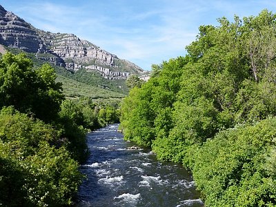
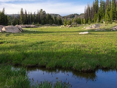
Looking for more outdoor adventures? Explore waterfall hikes near De Maris Springs, Wyoming.