Nat Soo Pah Warm Spring
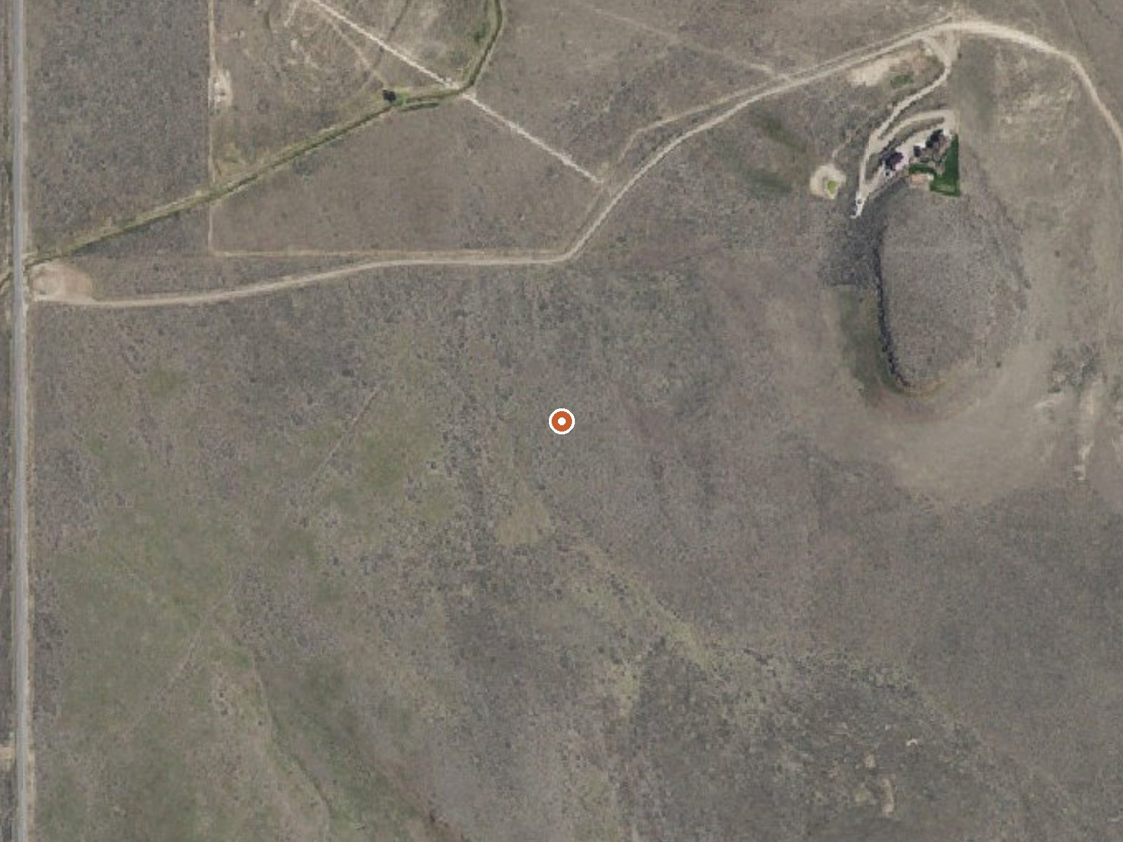
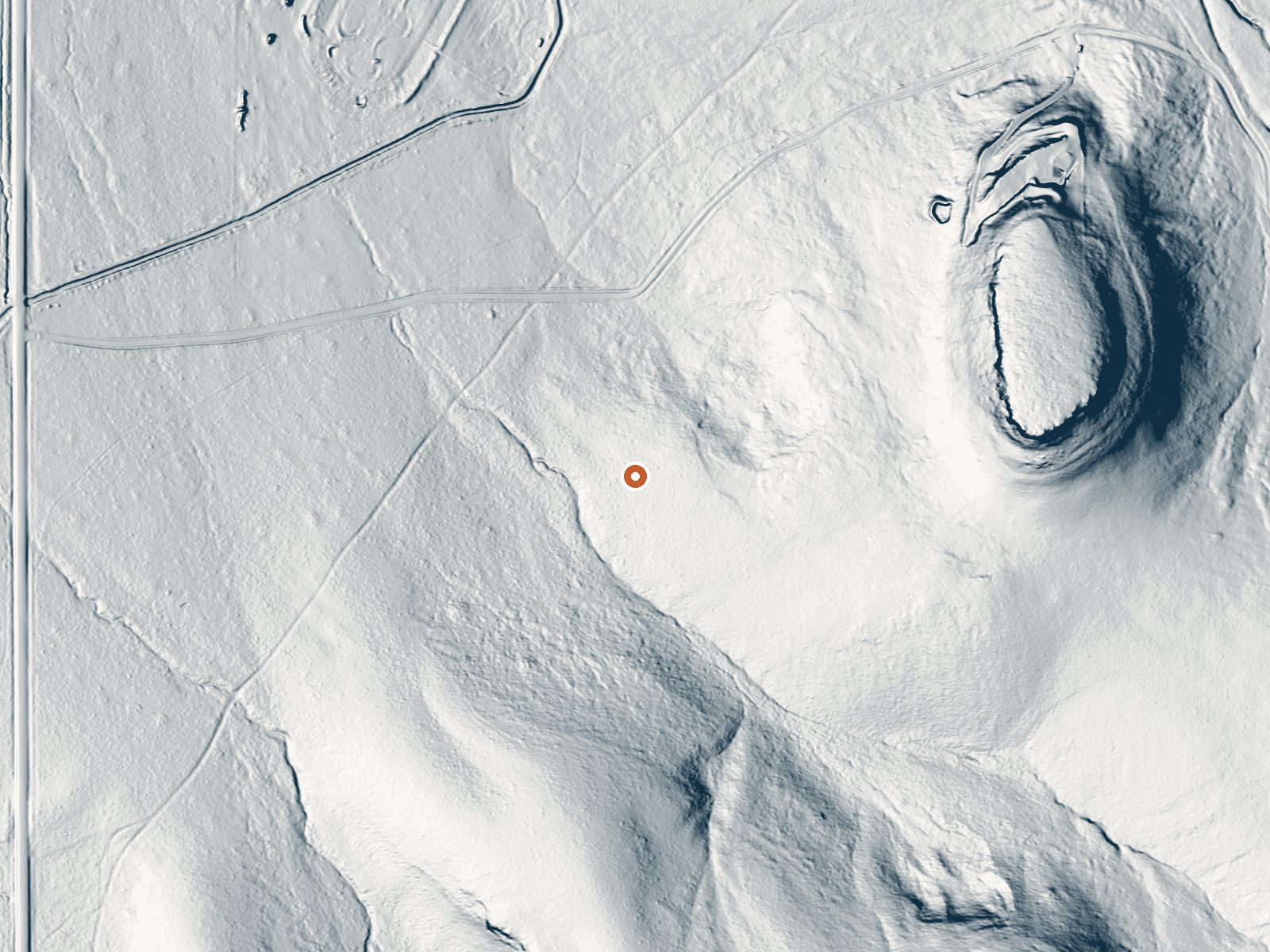
Drag the handle to compare the two views. The orange dot marks the spring, in a frame about three quarters of a mile wide.
Nat Soo Pah Warm Spring comes out of BLM ground in Twin Falls County within a tenth of a mile of Hoppers Gulch Road, about sixteen miles from Twin Falls. The water is a little under body temperature, the kind you can stay in for a long while without overheating. Public access is open through the Burley Field Office. No fee or development shows up in the record.
Dry, low-relief country at around forty-six hundred feet. Precipitation is scant, with a few feet of snow, so the snow is rarely the obstacle it is in the mountains. The walk from Hoppers Gulch Road is very short, barely off the road. The BLM owns the land and there is no designation on file beyond ordinary public land.
Winter is the listed best season. Mild water and cold air suit each other, and the approach is easy enough to do in any month. Lower Penstemon is the nearest campground on file, about fifteen miles out. Nothing is recorded about a fee. The water is gentle enough that no caution is needed on temperature.
Aircraft with laser scanners measured this ground to within inches. The scan strips out trees and buildings, leaving the bare shape of the land around Nat Soo Pah Warm Spring.
- Setting
- Gentle slope
- The ground tilts gently up to the east.
- Highest ground nearby
- 126 ft above the spring
- Within a quarter mile, to the east
A slice through the ground from west to east, about 0.6 miles end to end.
Elevation data: USGS 3D Elevation Program. Aerial imagery: USGS The National Map. Public domain.
That's about 1½ times the US average of 65. It's higher than at 35% of the springs on this site.
Heat flow measures the warmth working its way up through the ground from deep inside the earth. Where it runs high, rain and snowmelt that seep down through cracks in the rock come back up hot.
See every spring on the geothermal heat map →
Heat flow estimate: Stanford Thermal Earth Model (Aljubran & Horne, 2024), CC BY 4.0.
Some links are affiliate links. We may earn a commission at no extra cost to you.
Overview Lower Penstemon Campground is located along the scenic Rock Creek Road, in southern Idaho, at an elevation of 6,600 feet. Visitors come to the area to enjoy its abundant trails and natural beauty.Recreation Hiking, mountain biking, horseback riding and off-road vehicle trails crisscross the surrounding area. Third Fork, Pike Mountain, Rim View and Porcupine Spring trails all begin nearby. Rock Creek runs along the campground, offering good trout fishing.Facilities The campground cont...
Nat Soo Pah Warm Spring is road-accessible, so you can bring more gear.






As an Amazon Associate, we earn from qualifying purchases.
Springs Near Nat Soo Pah Warm Spring
More Springs Around 97°F
Hike 6 waterfalls near Nat Soo Pah Warm Spring

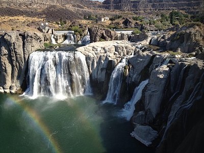
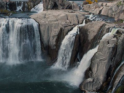
Looking for more outdoor adventures? Explore waterfall hikes near Nat Soo Pah Warm Spring, Idaho.