Gilman Hot Springs
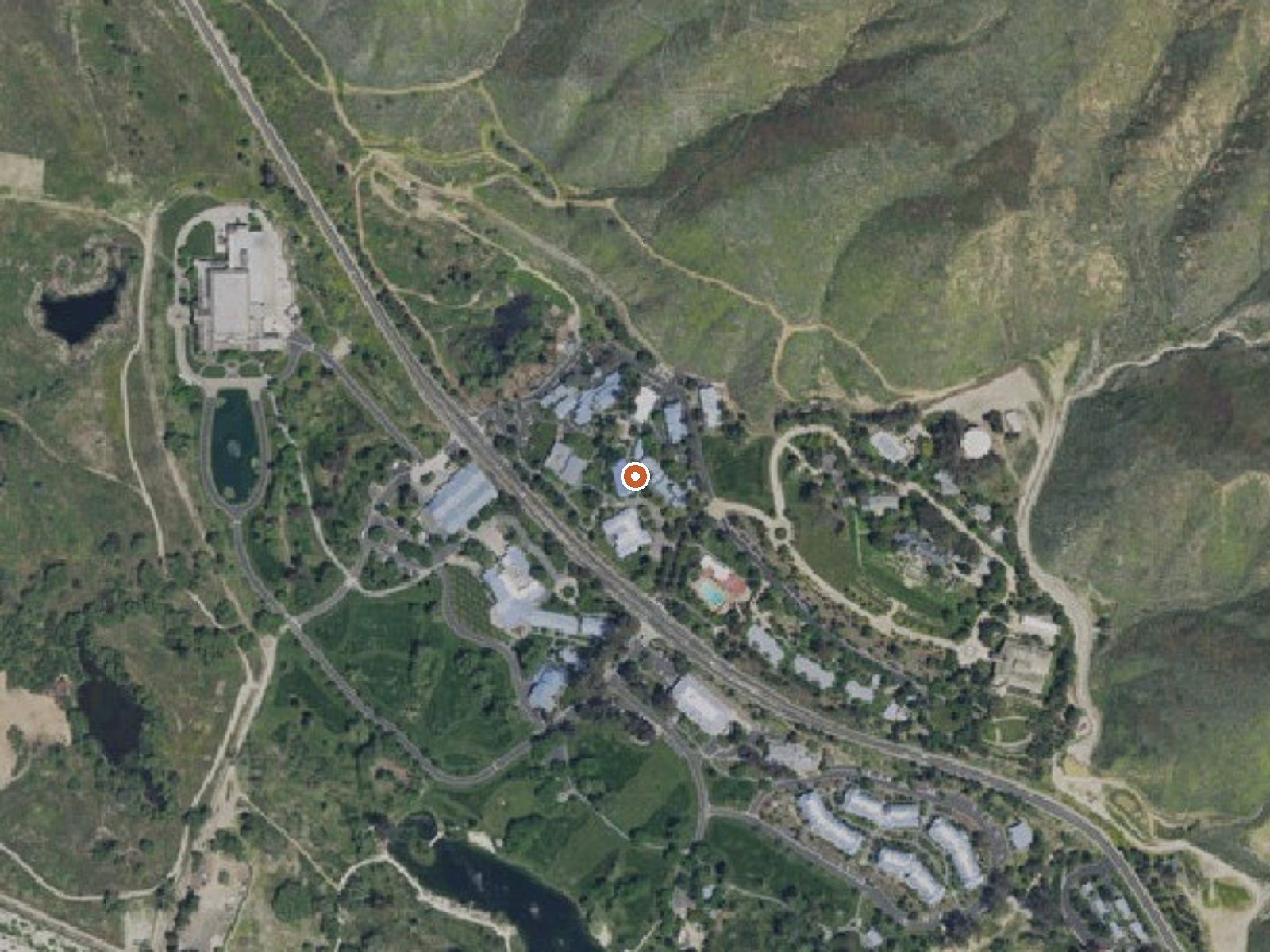
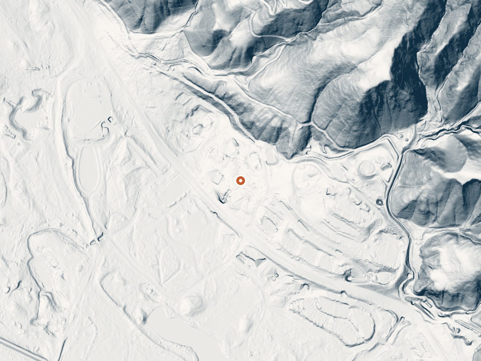
Drag the handle to compare the two views. The orange dot marks the spring, in a frame about three quarters of a mile wide.
About half a dozen hot springs make up Gilman Hot Springs, near San Jacinto in Riverside County, two or three miles from town and a short way in from Gilman Springs Road. Hot water, past the comfortable range. The system has gone by San Jacinto Hot Springs and Relief Springs as well. Neither ownership nor public access is recorded, so whether you can use it is an open question.
Inland Empire valley floor at about 1,500 feet. Dry and warm. Winter rain and almost no snow. The springs rise from granitic alluvium that made a marsh, per Wikipedia, near Potrero Creek and the San Jacinto River. The road is close. Boulder Basin campground is thirteen miles out. No owner and no land designation appear in the record.
Go between December and February, says the record. The stop is roadside. Camping means Boulder Basin, thirteen miles. Burn risk is real above 110, so check before touching. Both the owner and the access status are missing from the record. Find out before you go.
Wikipedia lists the names San Jacinto Hot Springs and the Relief Springs for this system and says it was named for the Mexican land grant Rancho San Jacinto Viejo. About half a dozen springs emerge from a granitic alluvium formation near State Route 79.
Aircraft with laser scanners measured this ground to within inches. The scan strips out trees and buildings, leaving the bare shape of the land around Gilman Hot Springs.
- Setting
- Hillside
- The spring sits on a steep slope that climbs to the northeast.
- Highest ground nearby
- 464 ft above the spring
- Within a quarter mile, to the northeast
A slice through the ground from southwest to northeast, about 0.6 miles end to end.
Elevation data: USGS 3D Elevation Program. Aerial imagery: USGS The National Map. Public domain.
That's about 1½ times the US average of 65. It's higher than at 37% of the springs on this site.
Heat flow measures the warmth working its way up through the ground from deep inside the earth. Where it runs high, rain and snowmelt that seep down through cracks in the rock come back up hot.
See every spring on the geothermal heat map →
Heat flow estimate: Stanford Thermal Earth Model (Aljubran & Horne, 2024), CC BY 4.0.
Some links are affiliate links. We may earn a commission at no extra cost to you.
Overview Black Mountain Road is is poor condition at this time. A four-wheel drive (4WD) vehicle is recommended with a minimum ground clearance of 6 inches. Drive at your own risk. The San Bernardino National Forest is submitting a proposal to increase fees at various sites across the Forest and is seeking public input. Please visit the https://www.fs.usda.gov/sbnf for more information and to submit comments regarding this proposal.Boulder Basin Campground offers solitude and primitive camp...
Gilman Hot Springs is road-accessible, so you can bring more gear. The water runs hot, so extra hydration is key. Bring sun protection for exposed soaking.



As an Amazon Associate, we earn from qualifying purchases.
Springs Near Gilman Hot Springs
More Springs Around 117°F
Hike 6 waterfalls near Gilman Hot Springs
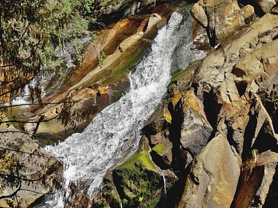
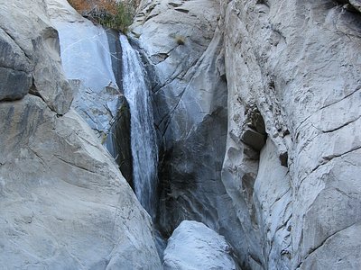
Looking for more outdoor adventures? Explore waterfall hikes near Gilman Hot Springs, California.