Hot Springs Near Dulbi River
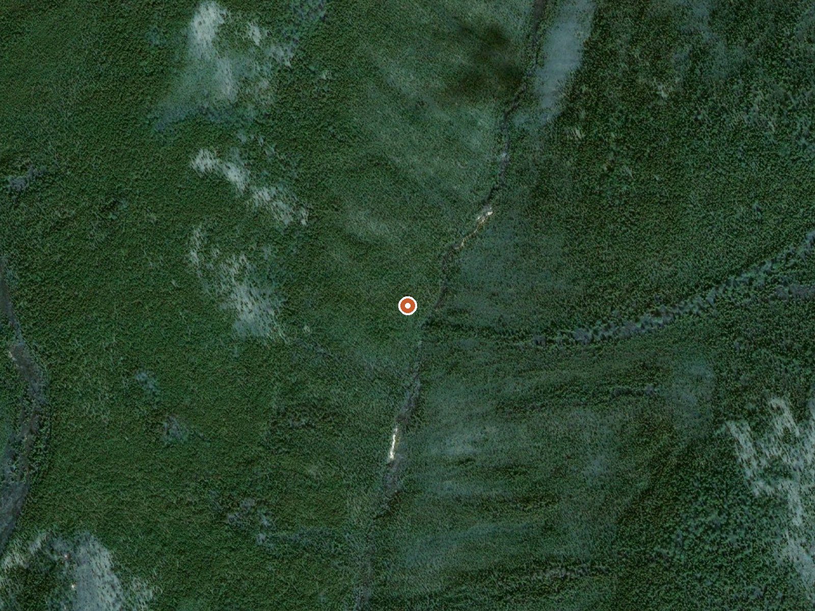
The orange dot marks the spring, in a frame about three quarters of a mile wide.
Bureau of Land Management ground in the Central Yukon Field Office holds this hot spring near the Dulbi River. It is open to the public on paper. The water measures in the mid hundred-and-twenties, hot enough to hurt bare skin. The record puts it in the Kenai Peninsula Borough with Nikiski as nearest town, more than three hundred miles distant.
Public BLM land, seven hundred-odd feet up. Lena Loop is the nearest road on file, nearly thirty-seven miles away, and everything between is backcountry the record leaves blank. Dry cold interior weather, with around twenty inches of precipitation a year and a mean temperature under freezing. Snow runs a bit under four feet.
Open access, no fee listed. Midwinter months are flagged best on file, December into February. Camping is not on record. The source can burn; test it and do not climb in there. The distance from Lena Loop, with no route recorded, makes this a self-supported undertaking.
USGS hasn't flown a detailed laser scan here yet, so this view comes from aerial photos and older elevation data.
- Setting
- Hillside
- The spring sits on a steep slope that climbs to the northwest.
- Highest ground nearby
- 279 ft above the spring
- Within a quarter mile, to the northwest
A slice through the ground from south to north, about 0.6 miles end to end.
Elevation data: USGS 3D Elevation Program. Aerial imagery: USGS The National Map. Public domain.