Springs
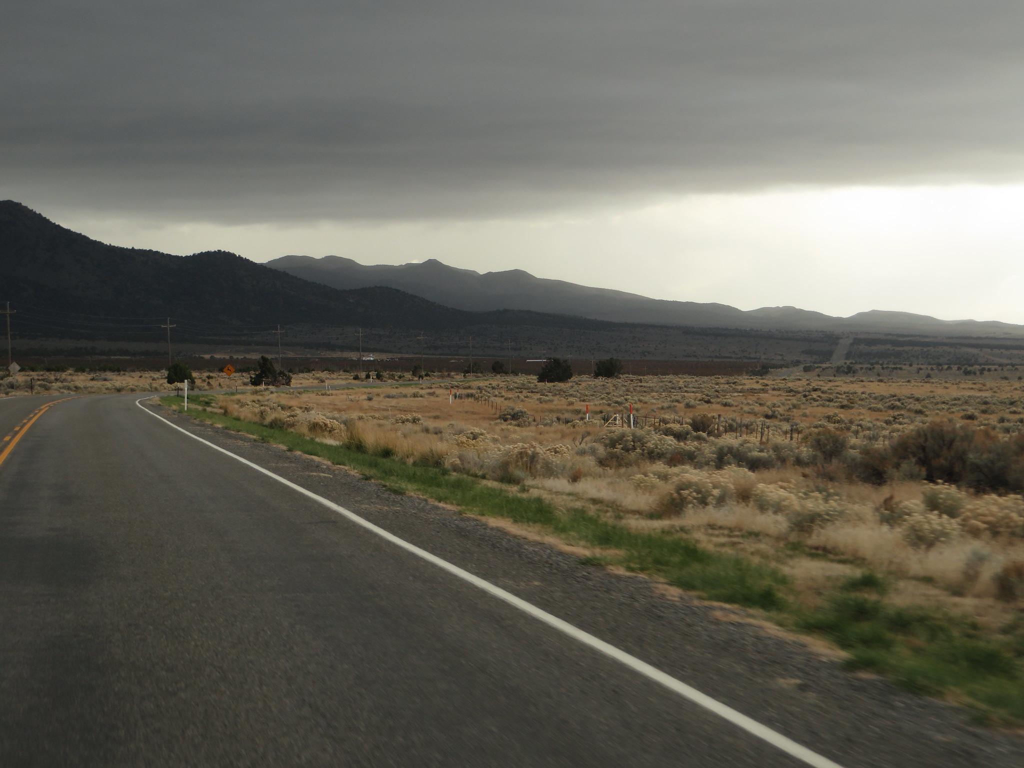
Springs is the whole name on record, a USGS thermal point in Juab County about a dozen miles out from Mona. The water is tepid, the kind you notice as warm on a cold day and forget about otherwise. No owner has been logged and nobody has said if the public may visit, so treat it as a dot on the map first and a soaking spot second, if at all.
It sits in the Juab high country, a little over six thousand feet up, and the walk in is short, a couple hundred yards off the closest road. That road carries no name on file. Winters bring a fair amount of snow, around forty inches in a typical year, while the rest of the year stays on the dry side.
December through February are the months given, which fits a warm spring that reads best when the air is cold. Snow can turn that short walk into more work than it sounds like. Tinney Flat is the nearest campground on record, roughly seventeen miles off. Sampling stopped in 1965 for both the chemistry and the temperature, so what you find may not match what is written down.
Aircraft with laser scanners measured this ground to within inches. The scan strips out trees and buildings, leaving the bare shape of the land around Springs.
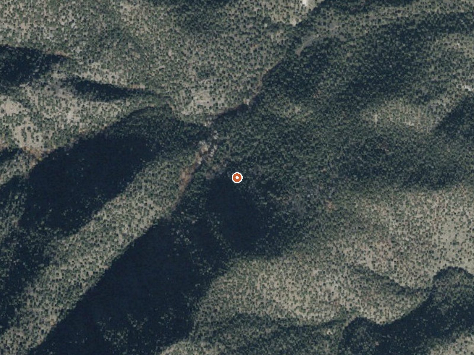
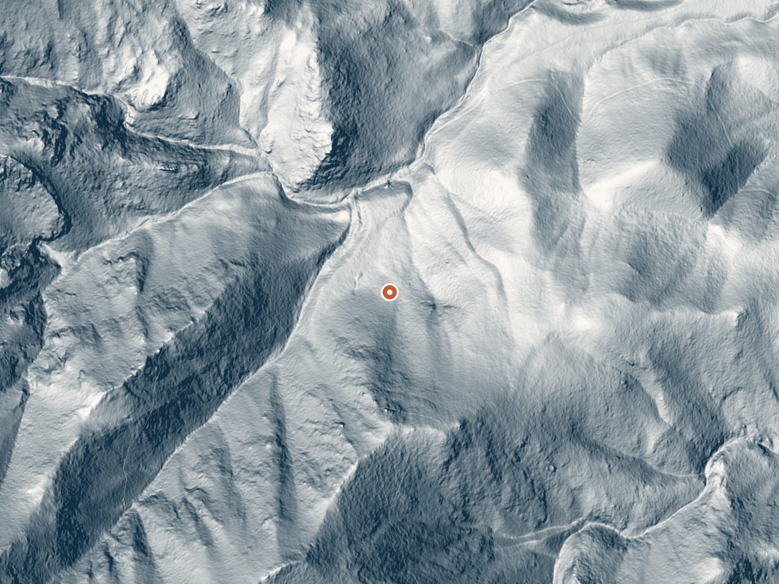
Drag the handle to compare the two views. The orange dot marks the spring, in a frame about three quarters of a mile wide.
- Setting
- Canyon floor
- Steep ground climbs away on both sides of the spring.
- Highest ground nearby
- 686 ft above the spring
- Within a quarter mile, to the southwest
A slice through the ground from west to east, about 0.6 miles end to end.
Elevation data: USGS 3D Elevation Program. Aerial imagery: USGS The National Map. Public domain.
That's about 1½ times the US average of 65. It's higher than at 56% of the springs on this site.
Heat flow measures the warmth working its way up through the ground from deep inside the earth. Where it runs high, rain and snowmelt that seep down through cracks in the rock come back up hot.
See every spring on the geothermal heat map →
Heat flow estimate: Stanford Thermal Earth Model (Aljubran & Horne, 2024), CC BY 4.0.
The water at Springs is slightly alkaline (pH 7.6) with 380 mg/L total dissolved solids.
Some links are affiliate links. We may earn a commission at no extra cost to you.
Overview Tinney Flat Campground is located in scenic Santaquin Canyon, just 9 miles from town at an elevation of 7,000 feet. Visitors enjoy fishing and exploring local trails.Recreation Santaquin Creek runs alongside the campground, offering rainbow trout fishing. White Pine Hollow and Calkens Hollow Trails begin within the campground.Facilities The campground contains three group sites that can each accommodate up to 50 people. Sites are equipped with picnic and serving tables, campfire circ...
Springs sits at 6,050 feet above sea level, way above the mile-high mark. You may not feel the altitude strongly, but hot water still dehydrates you faster at elevation. UV is about 24% stronger than at sea level, so bring sunscreen and drink more water than you normally would.



As an Amazon Associate, we earn from qualifying purchases.
Springs is road-accessible, so you can bring more gear.






As an Amazon Associate, we earn from qualifying purchases.
Springs Near Springs
More Springs Around 72°F
Slightly Alkaline Springs (pH ~7.6)
Hike 5 waterfalls near Springs
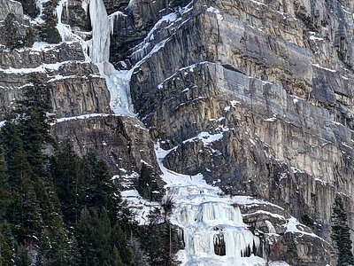
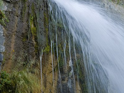
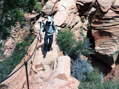
Looking for more outdoor adventures? Explore waterfall hikes near Springs, Utah.