Fall Creek Mineral Springs
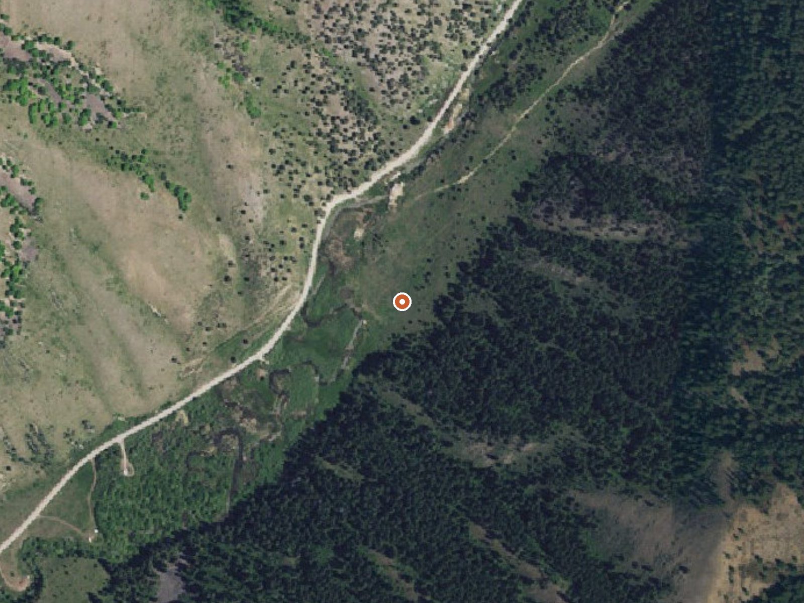
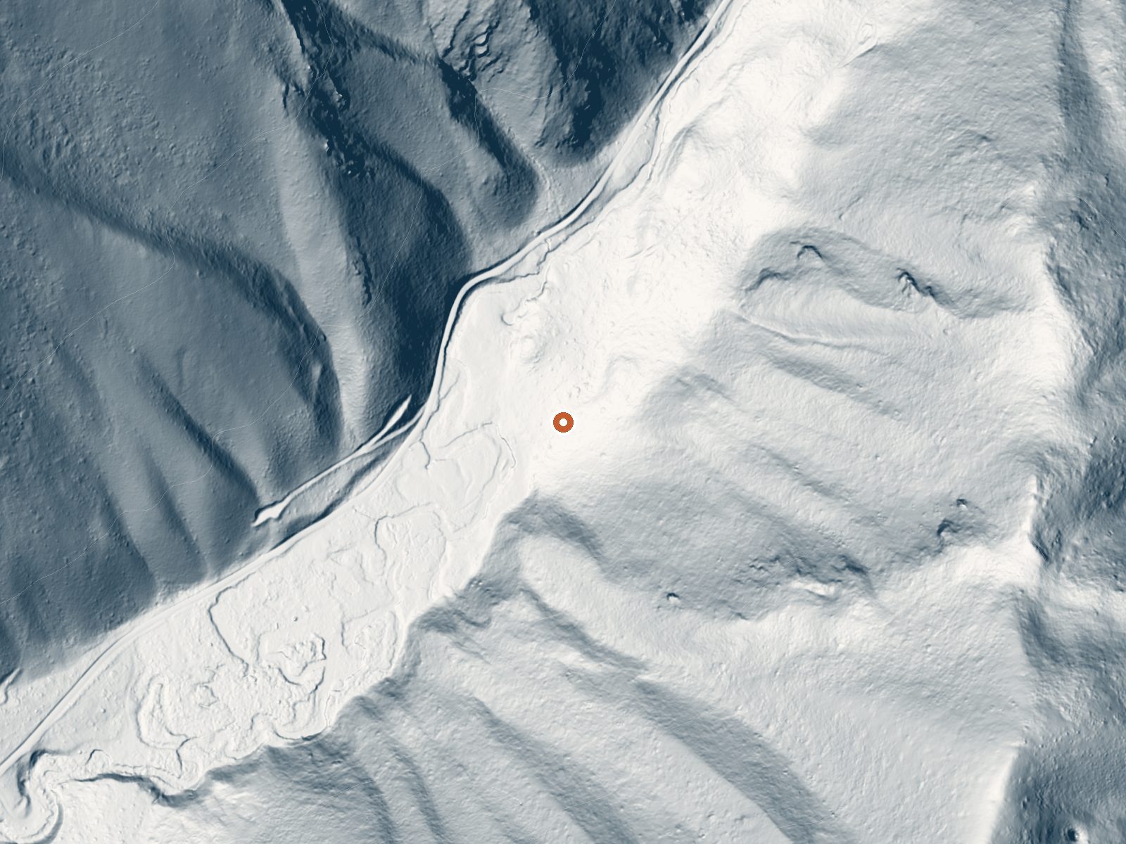
Drag the handle to compare the two views. The orange dot marks the spring, in a frame about three quarters of a mile wide.
Fall Creek Mineral Springs is warm, upper seventies, and what sets it apart is the mineral load: the water carries over two thousand milligrams per liter of dissolved solids, a heavy load that includes iron. It is in the Caribou National Forest in Teton County, about twenty miles from Victor, with open access and a brief walk in from the road.
National Forest Development Road 077 gets you within about 450 feet. The spring is at fifty-four hundred feet, with eight feet of snow over an ordinary winter and moderate precipitation. Falls Campground is under three miles away. Forest Service land. How the walk goes is not recorded, and the pools themselves go undescribed.
the record leans winter. Water is warm, no burn concern. The chemistry sample dates from August 1939, old enough that the mineral numbers should be treated as history. Falls Campground is close, under three miles, which makes an overnight easy to arrange. the record reads open.
The USGS analysis on file for this spring was taken on August 26, 1939, and it is that sample that records the iron and the heavy dissolved-solids load.
Aircraft with laser scanners measured this ground to within inches. The scan strips out trees and buildings, leaving the bare shape of the land around Fall Creek Mineral Springs.
- Setting
- Canyon floor
- Steep ground climbs away on both sides of the spring.
- Highest ground nearby
- 725 ft above the spring
- Within a quarter mile, to the southeast
A slice through the ground from northwest to southeast, about 0.6 miles end to end.
Elevation data: USGS 3D Elevation Program. Aerial imagery: USGS The National Map. Public domain.
That's about 1½ times the US average of 65. It's higher than at 46% of the springs on this site.
Heat flow measures the warmth working its way up through the ground from deep inside the earth. Where it runs high, rain and snowmelt that seep down through cracks in the rock come back up hot.
See every spring on the geothermal heat map →
Heat flow estimate: Stanford Thermal Earth Model (Aljubran & Horne, 2024), CC BY 4.0.
The water at Fall Creek Mineral Springs contains 2140 mg/L total dissolved solids. It is notably rich in calcium (may support bone density and joint health), magnesium (known for muscle relaxation and stress relief), and sodium (supports circulation and skin hydration).
Some links are affiliate links. We may earn a commission at no extra cost to you.
Overview Falls Campground is located next to the Snake River in beautiful Swan Valley at an elevation of 5,100 feet. Idaho Falls, Idaho is just 45 miles west. Visitors enjoy fishing and canoeing on the Snake and viewing local wildlife.Recreation The Snake River offers excellent cutthroat trout fishing, canoeing, floating, rafting and kayaking. Conant Boat Ramp is nearby and open to the public.Facilities The campground offers one group site that can accommodate up to 150 people. Several singl...
Fall Creek Mineral Springs sits at 5,398 feet above sea level, way above the mile-high mark. You may not feel the altitude strongly, but hot water still dehydrates you faster at elevation. UV is about 22% stronger than at sea level, so bring sunscreen and drink more water than you normally would.



As an Amazon Associate, we earn from qualifying purchases.
Fall Creek Mineral Springs is road-accessible, so you can bring more gear. Cold air temperatures make a changing robe or warm layers essential.






As an Amazon Associate, we earn from qualifying purchases.
Springs Near Fall Creek Mineral Springs
More Springs Around 77°F
Hike 6 waterfalls near Fall Creek Mineral Springs
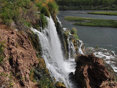
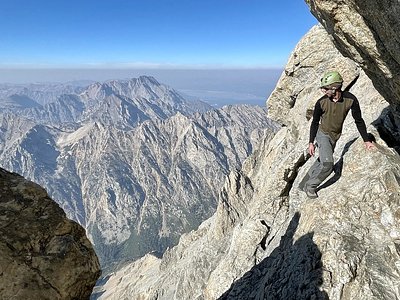
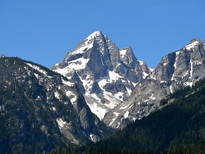
Looking for more outdoor adventures? Explore waterfall hikes near Fall Creek Mineral Springs, Idaho.