Pagosa Hot Springs
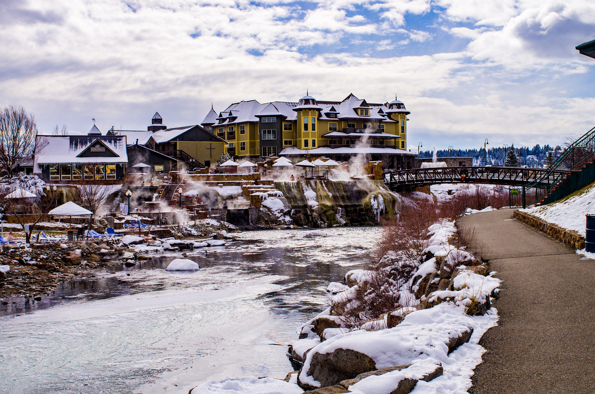
Pagosa Hot Springs is the hot spring system of the San Juan Basin, Archuleta County, with this point a third of a mile or so from the middle of Pagosa Springs. The Ute name is Pah gosah. The town claims these are the world's deepest known geothermal hot springs. No temperature is on this record, but a 1965 USGS sample shows water heavy in dissolved minerals and a little alkaline.
North 14th Street is the nearest road, a few steps away, so this is roadside. Pagosa Springs sits at a bit over seven thousand feet in the San Juan Basin. Snow comes in heavy, near seven feet most winters, with moderate rain. East Fork Campground, San Juan National Forest, is the closest camp given, about eleven miles away.
No month gets a ranking. The record has no temperature, so the system's heat is documented here only by the town's claim and the old chemistry. Access and ownership are blank. Camping: East Fork Campground, eleven miles. Expect snowbound roads in winter given the snowfall figure.
Wikipedia gives the Ute name Pah gosah and places the system in the San Juan Basin. The town of Pagosa Springs claims the world's deepest known geothermal hot springs. The USGS sample on file was collected in September 1965.
Aircraft with laser scanners measured this ground to within inches. The scan strips out trees and buildings, leaving the bare shape of the land around Pagosa Hot Springs.
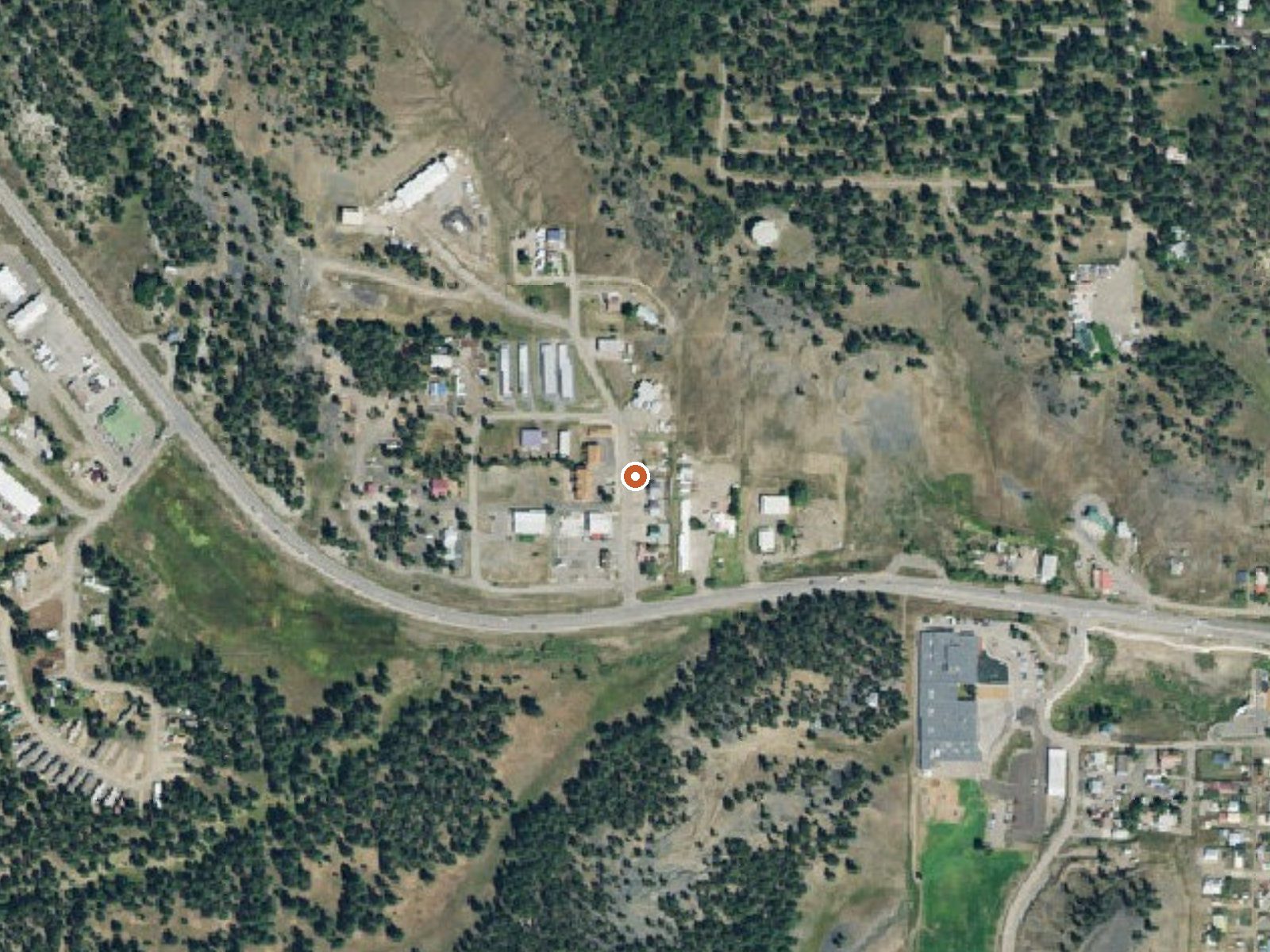
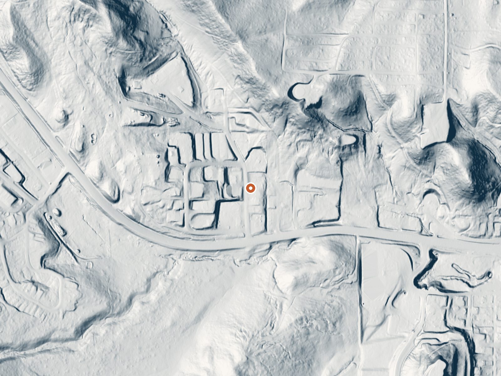
Drag the handle to compare the two views. The orange dot marks the spring, in a frame about three quarters of a mile wide.
- Setting
- Valley floor
- Gentle slopes rise on both sides.
- Highest ground nearby
- 156 ft above the spring
- Within a quarter mile, to the north
A slice through the ground from west to east, about 0.6 miles end to end.
Elevation data: USGS 3D Elevation Program. Aerial imagery: USGS The National Map. Public domain.
That's about 1½ times the US average of 65. It's higher than at 46% of the springs on this site.
Heat flow measures the warmth working its way up through the ground from deep inside the earth. Where it runs high, rain and snowmelt that seep down through cracks in the rock come back up hot.
See every spring on the geothermal heat map →
Heat flow estimate: Stanford Thermal Earth Model (Aljubran & Horne, 2024), CC BY 4.0.
The water at Pagosa Hot Springs is slightly alkaline (pH 7.7) with 2860 mg/L total dissolved solids. It is notably rich in magnesium (known for muscle relaxation and stress relief), sodium (supports circulation and skin hydration), and sulfate (traditionally used for skin conditions and inflammation).
Some links are affiliate links. We may earn a commission at no extra cost to you.
Overview East Fork Campground is located 11 miles northeast of Pagosa Springs, just off U.S. Highway 160, along the East Fork Road. Visitors enjoy the area for its fishing, hiking and scenic opportunities.Recreation The East Fork offers plenty of fishing opportunities upstream from the campground. Trailheads for the Coal Creek Trail and the Quartz Ridge Trail are at Sand Creek, 2-5 miles beyond the campground. Facilities The campground offers several single-family sites, many with views of th...
Pagosa Hot Springs sits at 7,100 feet above sea level, way above the mile-high mark. You may not feel the altitude strongly, but hot water still dehydrates you faster at elevation. UV is about 28% stronger than at sea level, so bring sunscreen and drink more water than you normally would.



As an Amazon Associate, we earn from qualifying purchases.
Pagosa Hot Springs is road-accessible, so you can bring more gear. Cold air temperatures make a changing robe or warm layers essential.






As an Amazon Associate, we earn from qualifying purchases.
Springs Near Pagosa Hot Springs
Slightly Alkaline Springs (pH ~7.7)
Hike 6 waterfalls near Pagosa Hot Springs
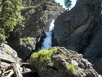
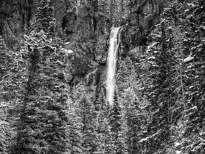
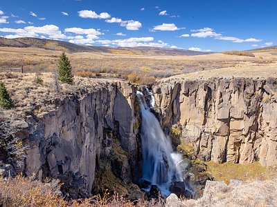
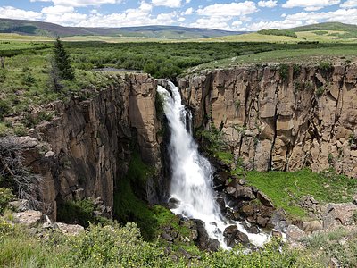
Looking for more outdoor adventures? Explore waterfall hikes near Pagosa Hot Springs, Colorado.