Council Mtn Hot Springs
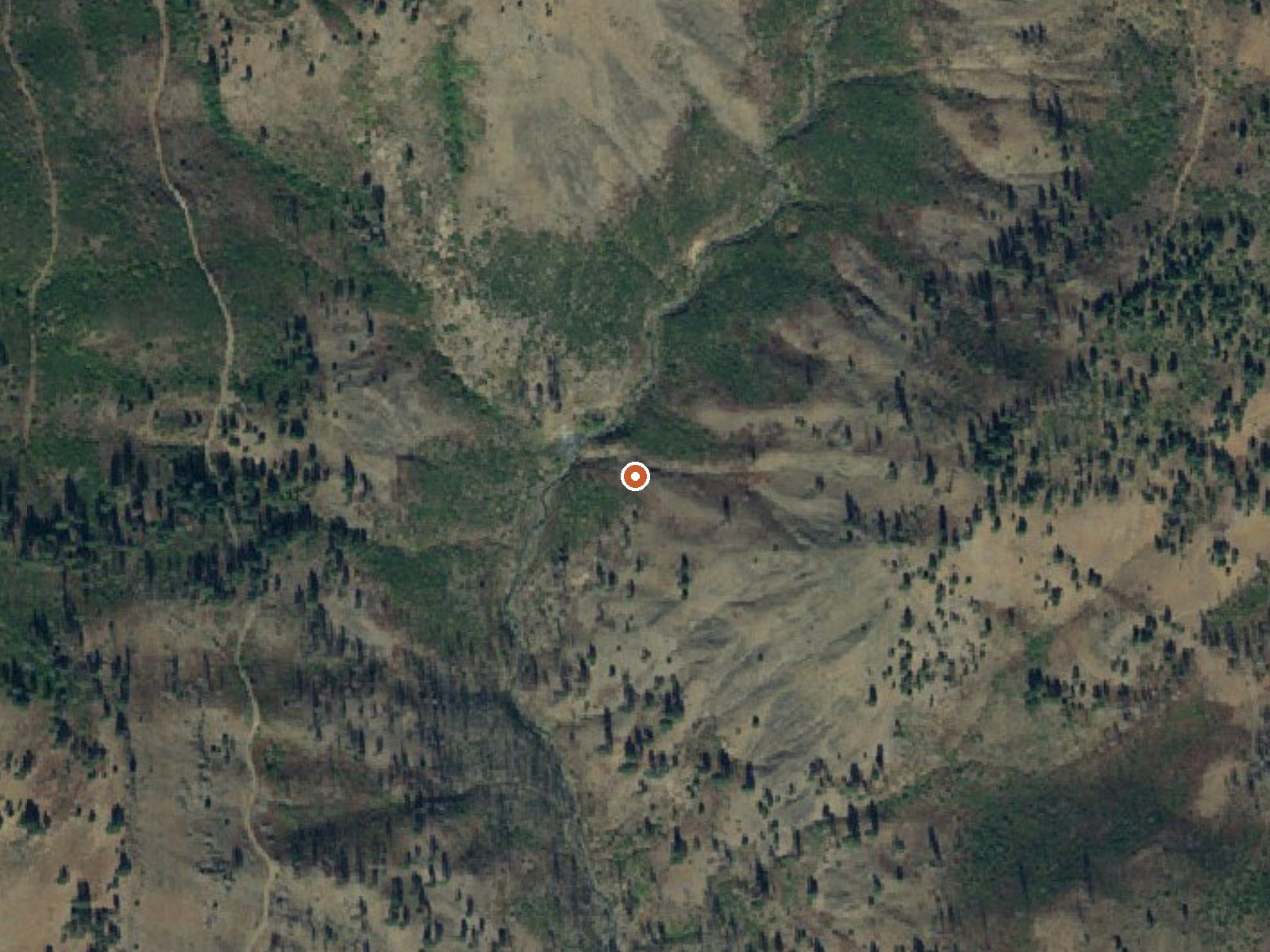
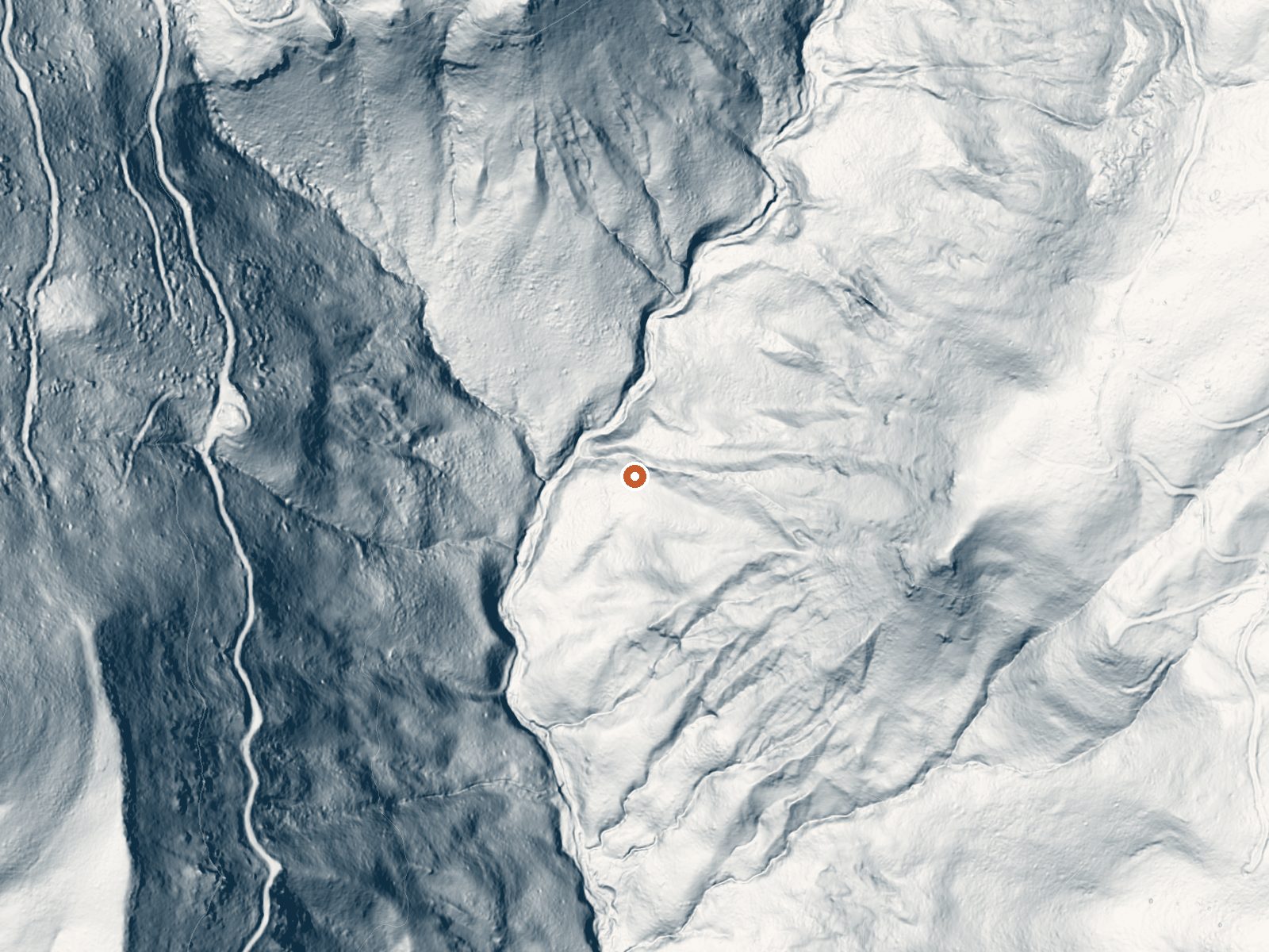
Drag the handle to compare the two views. The orange dot marks the spring, in a frame about three quarters of a mile wide.
Eight miles or so from the town of Council, on Payette National Forest ground in Adams County, Council Mtn Hot Springs puts out water that would scald you at the source. Access is open according to the record. There is no USGS site number for it and no water chemistry, so the temperature reading stands alone as the only measurement anyone has written down.
Reaching it means a walk of a few hundred yards from a road the record leaves unnamed. The country is wet, snowy forest at middling elevation, with roughly ten feet of snow over a winter and plenty of rain in the other seasons. Amanita campground, the nearest developed camping, is close to nine miles from the spring.
December to February are the best months listed, though ten feet of snow makes the forest road the real deciding factor, so ask the Payette ranger district before setting out. Water at 154 will burn skin in seconds, and with no chemistry or site record there is nothing else on file to tell you what the pools are like or whether anyone has built one. Amanita is where you would camp.
Aircraft with laser scanners measured this ground to within inches. The scan strips out trees and buildings, leaving the bare shape of the land around Council Mtn Hot Springs.
- Setting
- Canyon floor
- Steep ground climbs away on both sides of the spring.
- Highest ground nearby
- 568 ft above the spring
- Within a quarter mile, to the east
A slice through the ground from northwest to southeast, about 0.6 miles end to end.
Elevation data: USGS 3D Elevation Program. Aerial imagery: USGS The National Map. Public domain.
That's about 1½ times the US average of 65. It's higher than at 31% of the springs on this site.
Heat flow measures the warmth working its way up through the ground from deep inside the earth. Where it runs high, rain and snowmelt that seep down through cracks in the rock come back up hot.
See every spring on the geothermal heat map →
Heat flow estimate: Stanford Thermal Earth Model (Aljubran & Horne, 2024), CC BY 4.0.
Some links are affiliate links. We may earn a commission at no extra cost to you.
Overview Amanita Campground is located next to scenic Lake Cascade in west-central Idaho. It is near the town of Donnelly, at an elevation of 4,850 feet. Boating, fishing, swimming and hiking are popular activities in this scenic region. Recreation Lake Cascade offers excellent opportunities for boating, water skiing, canoeing, windsurfing and sailing. Anglers enjoy casting for rainbow trout, coho salmon, smallmouth bass and perch. A boat ramp is located at the neighboring Rainbow Point Campg...
Council Mtn Hot Springs is road-accessible, so you can bring more gear. The water is dangerously hot, so bring water shoes and test pools carefully. Cold air temperatures make a changing robe or warm layers essential.





As an Amazon Associate, we earn from qualifying purchases.
Springs Near Council Mtn Hot Springs
More Springs Around 154°F
Hike 6 waterfalls near Council Mtn Hot Springs
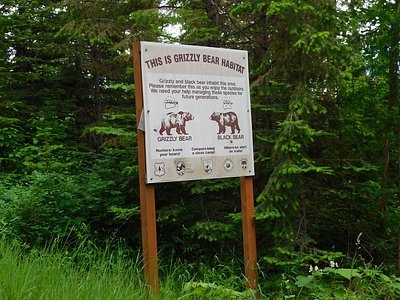
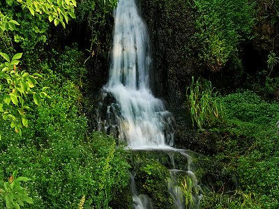
Looking for more outdoor adventures? Explore waterfall hikes near Council Mtn Hot Springs, Idaho.