Fisher Hot Springs
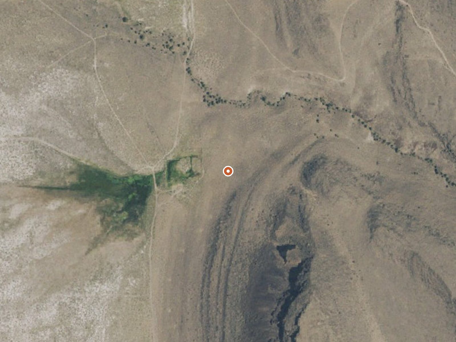
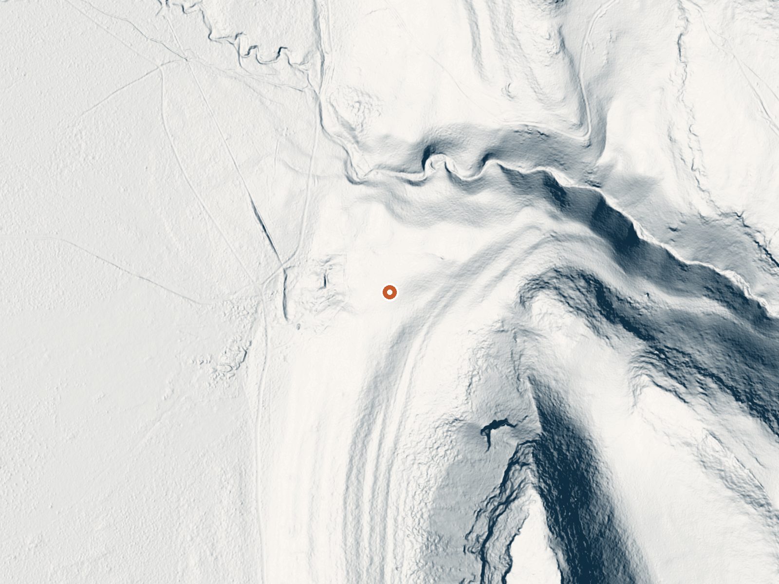
Drag the handle to compare the two views. The orange dot marks the spring, in a frame about three quarters of a mile wide.
Fisher Hot Springs in Lake County is BLM ground about thirty miles from Lakeview, and the public is allowed in. The catch is temperature. The water emerges scalding, far past anything skin can take, so this is a spring to look at. Nothing on file describes any cooler pool.
A short walk of a few hundred feet separates it from the nearest road, which goes unnamed here. The BLM's Lakeview Field Office manages the ground. Elevation is high desert, around forty-six hundred feet, with snowfall totaling near four feet a winter and little rain otherwise. OpenStreetMap lists it under the same name.
Winter, December into February, comes up as the best season. For camping, the closest listed option is Drake Peak Lookout, a little under twenty miles out. Access is open, and the water will still burn you, so keep back from the source and keep dogs and kids away from it. No fee is recorded, and no photo.
Aircraft with laser scanners measured this ground to within inches. The scan strips out trees and buildings, leaving the bare shape of the land around Fisher Hot Springs.
- Setting
- Hillside
- The spring sits on a steep slope that climbs to the southeast.
- Highest ground nearby
- 442 ft above the spring
- Within a quarter mile, to the southeast
A slice through the ground from northwest to southeast, about 0.6 miles end to end.
Elevation data: USGS 3D Elevation Program. Aerial imagery: USGS The National Map. Public domain.
That's close to the US average of 65. It's higher than at 10% of the springs on this site.
Heat flow measures the warmth working its way up through the ground from deep inside the earth. Where it runs high, rain and snowmelt that seep down through cracks in the rock come back up hot.
See every spring on the geothermal heat map →
Heat flow estimate: Stanford Thermal Earth Model (Aljubran & Horne, 2024), CC BY 4.0.
Some links are affiliate links. We may earn a commission at no extra cost to you.
Overview Located on the crest of the Warner Mountain Range at an elevation of 8,222 feet, Drake Peak Lookout hugs the wind-swept land surrounding it, offering unparalleled views into Oregon, California and Nevada. The lookout was built in 1948 and has served as a fire detection site for the surrounding area. Historically, Forest Service personnel lived long seasons in the cabin, scanning the region for lightning, flames, curls of smoke or any other indicator of possible forest fires. At one...
Fisher Hot Springs is road-accessible, so you can bring more gear. The water is dangerously hot, so bring water shoes and test pools carefully.





As an Amazon Associate, we earn from qualifying purchases.
Springs Near Fisher Hot Springs
More Springs Around 154°F
Hike 1 waterfall near Fisher Hot Springs
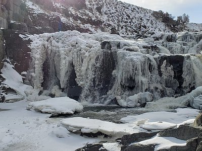
Looking for more outdoor adventures? Explore waterfall hikes near Fisher Hot Springs, Oregon.