Crump Geyser (Crump Spring)
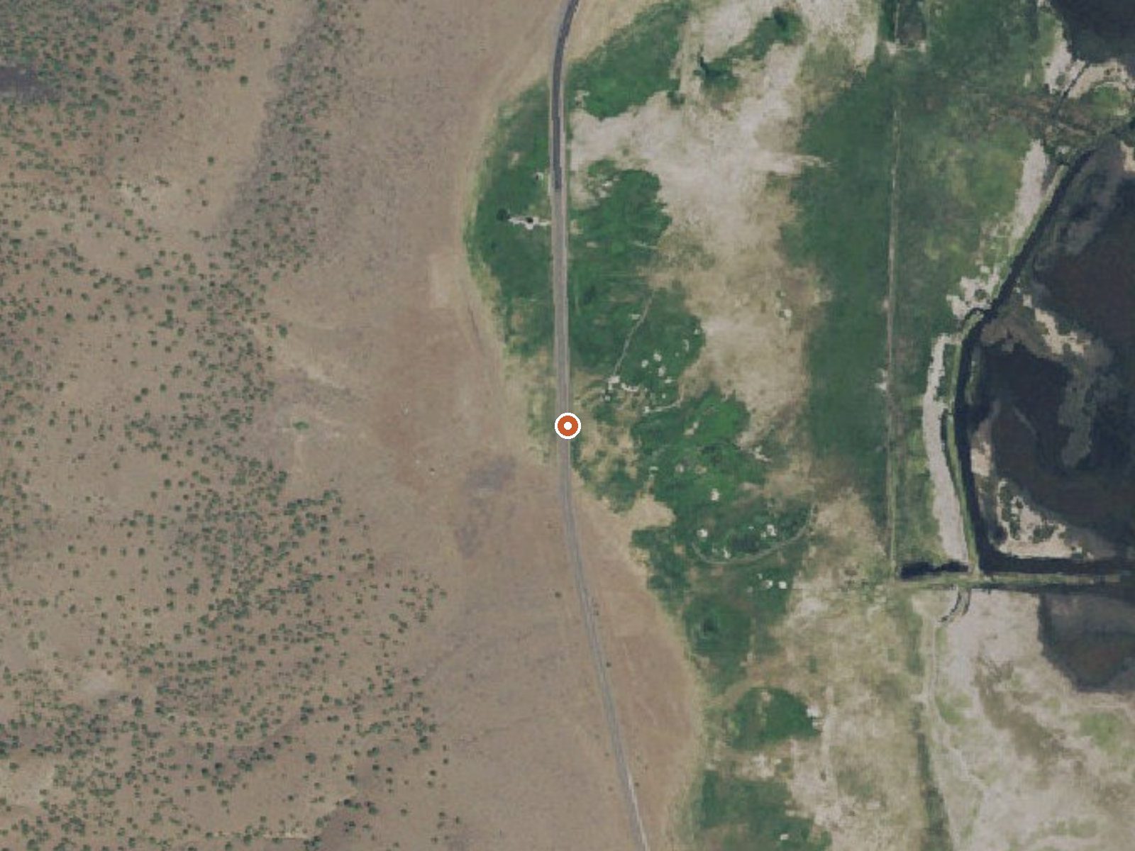
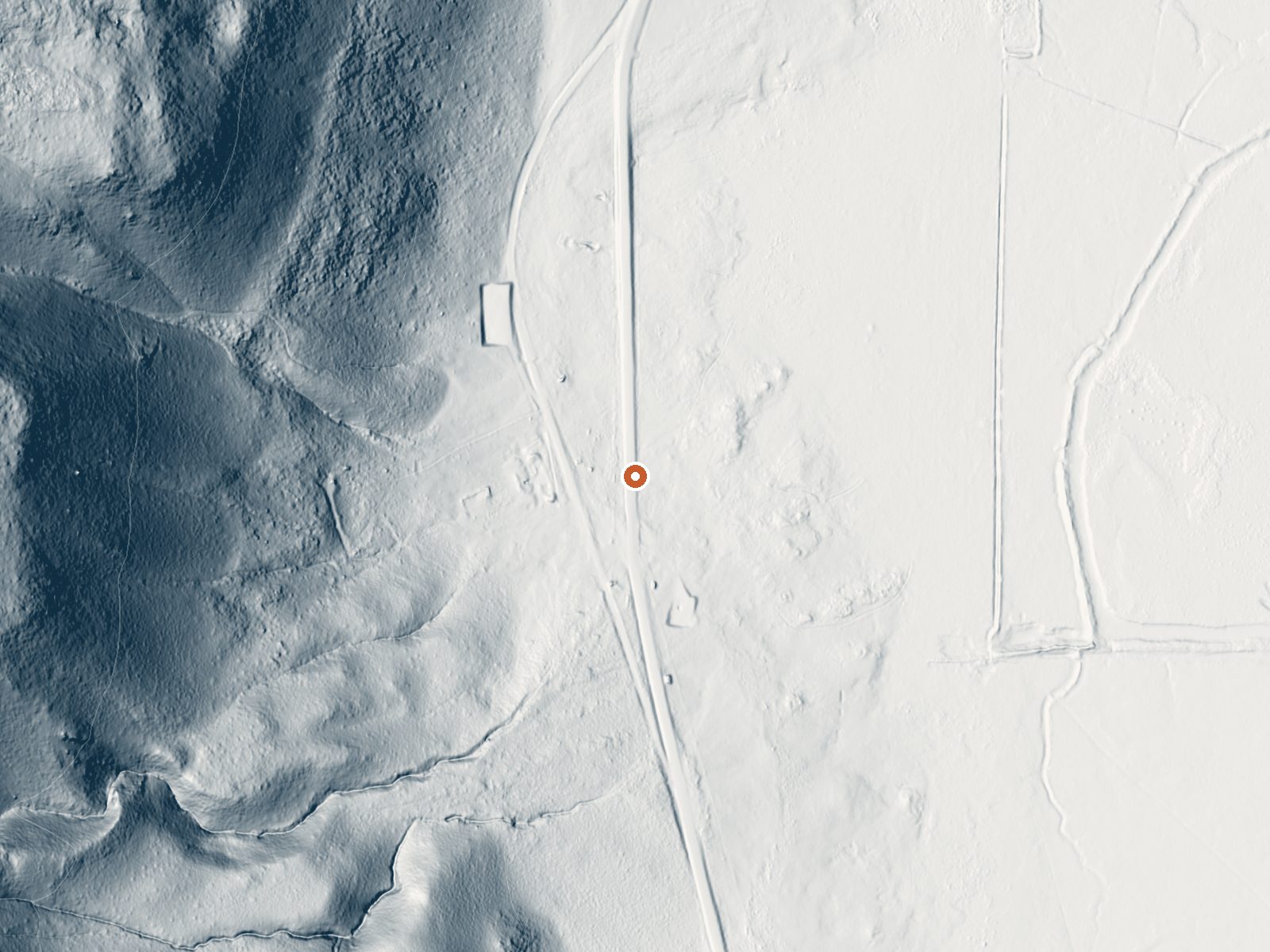
Drag the handle to compare the two views. The orange dot marks the spring, in a frame about three quarters of a mile wide.
Crump Geyser, also listed as Crump Spring, sits in Lake County about twenty-four miles out of Lakeview. The name says geyser, and the water temperature backs that up: it leaves the ground scalding, well past anything a person can sit in. This one is for looking at. County Highway 3-10 runs right past it, which puts it within easy reach compared with most thermal spots in the county.
The spring is fifteen feet off the highway shoulder, so reaching it means pulling over. Elevation is high desert, a bit above forty-five hundred feet. Snow comes in winter, close to four feet over the season, and annual rain is thin. Ownership of the ground is not on file, and neither is anything about public access, so the roadside position does not settle the question of walking up to it.
Winter months score best on the record. Keep in mind the water is hot enough to scald on contact, so stay back from the vent and any outflow channel. Drake Peak Lookout is the closest listed camping at fifteen miles. With no access status recorded, check for signage at the pullout.
Aircraft with laser scanners measured this ground to within inches. The scan strips out trees and buildings, leaving the bare shape of the land around Crump Geyser (Crump Spring).
- Setting
- Hillside
- The spring sits on a steep slope that climbs to the west.
- Highest ground nearby
- 279 ft above the spring
- Within a quarter mile, to the west
A slice through the ground from west to east, about 0.6 miles end to end.
Elevation data: USGS 3D Elevation Program. Aerial imagery: USGS The National Map. Public domain.
That's close to the US average of 65. It's higher than at 6% of the springs on this site.
Heat flow measures the warmth working its way up through the ground from deep inside the earth. Where it runs high, rain and snowmelt that seep down through cracks in the rock come back up hot.
See every spring on the geothermal heat map →
Heat flow estimate: Stanford Thermal Earth Model (Aljubran & Horne, 2024), CC BY 4.0.
Some links are affiliate links. We may earn a commission at no extra cost to you.
Overview Located on the crest of the Warner Mountain Range at an elevation of 8,222 feet, Drake Peak Lookout hugs the wind-swept land surrounding it, offering unparalleled views into Oregon, California and Nevada. The lookout was built in 1948 and has served as a fire detection site for the surrounding area. Historically, Forest Service personnel lived long seasons in the cabin, scanning the region for lightning, flames, curls of smoke or any other indicator of possible forest fires. At one...
Crump Geyser (Crump Spring) is road-accessible, so you can bring more gear. The water is dangerously hot, so bring water shoes and test pools carefully.





As an Amazon Associate, we earn from qualifying purchases.
Springs Near Crump Geyser (Crump Spring)
More Springs Around 172°F
Hike 1 waterfall near Crump Geyser (Crump Spring)
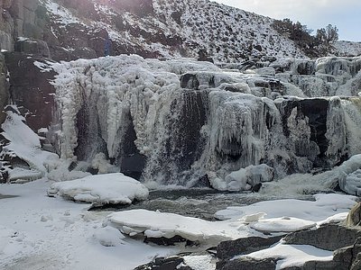
Looking for more outdoor adventures? Explore waterfall hikes near Crump Geyser (Crump Spring), Oregon.