Grape Creek Warm Spring
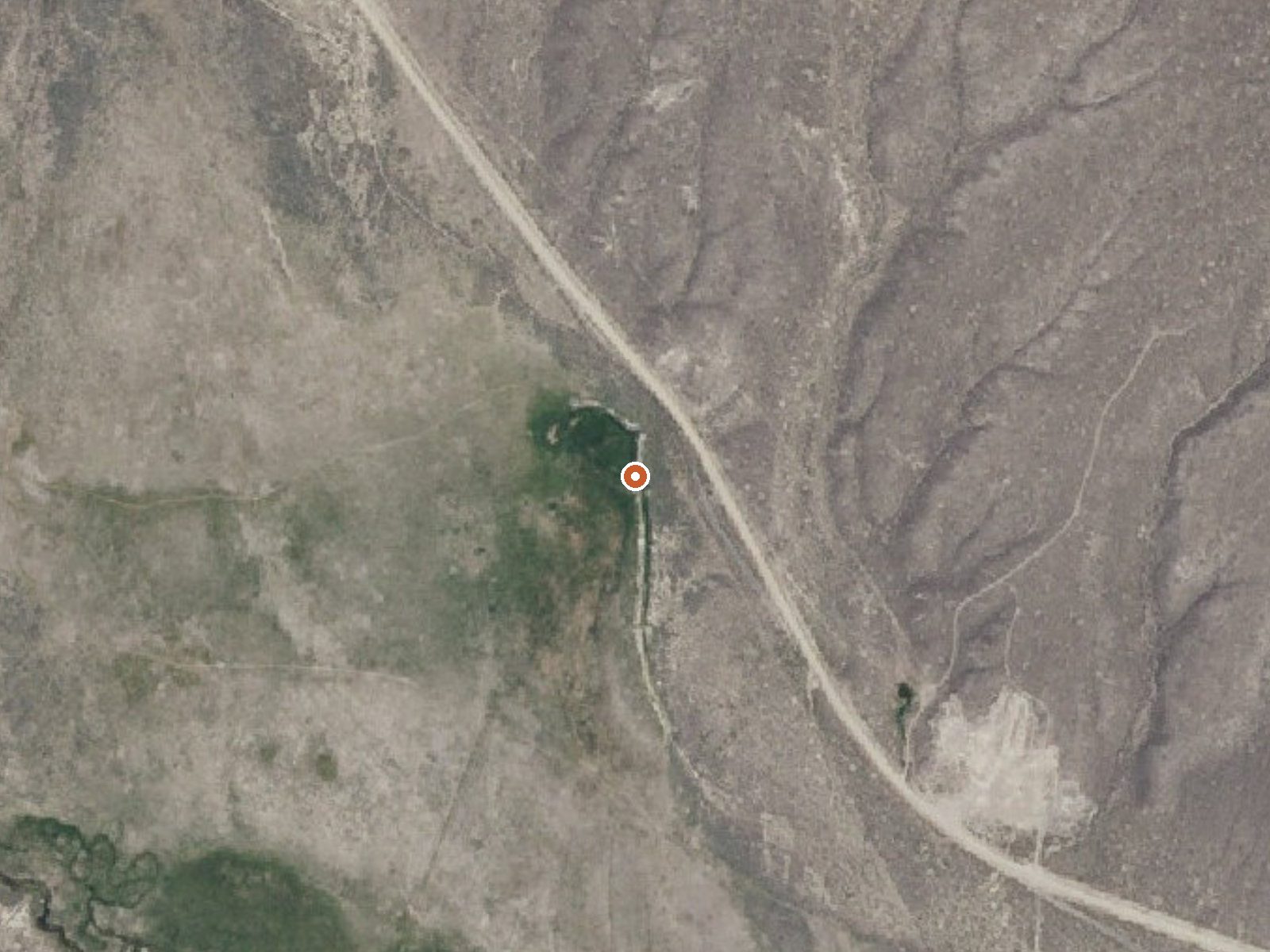
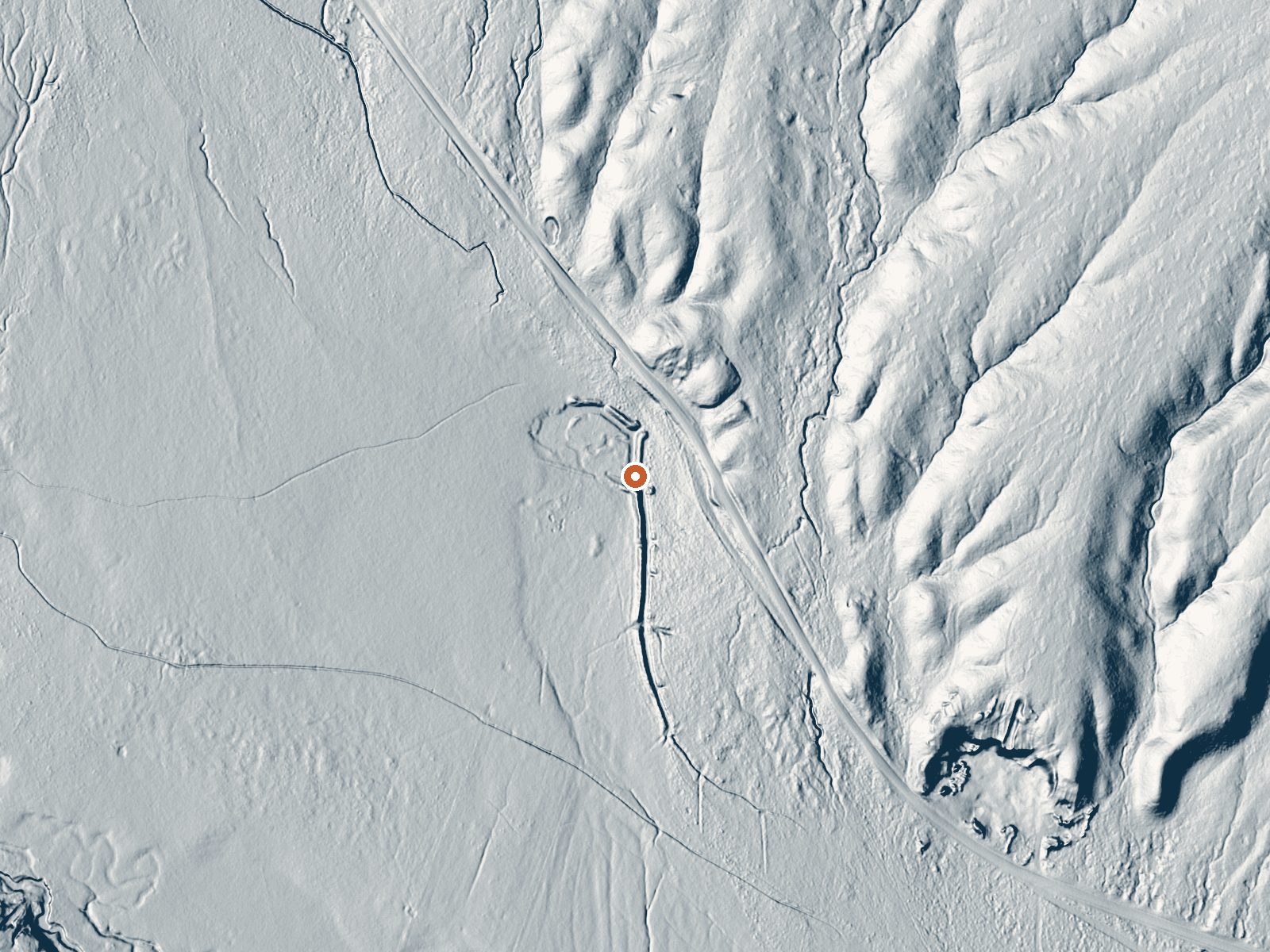
Drag the handle to compare the two views. The orange dot marks the spring, in a frame about three quarters of a mile wide.
Grape Creek Warm Spring sits on BLM ground in Cassia County, managed by the Burley Field Office; Burley itself is about 33 miles away. The water is tepid, 72 degrees, too cool for a real soak in anything but summer heat. Access is listed open. Independence Lakes Campground is about eleven miles away and is the nearest camping on file.
Narrows Road runs within about 230 feet of the spring, so it is a roadside stop at a bit over five thousand feet. Winters are light here, three feet of snow or so in a dry climate. No photo, and nothing about the terrain.
On file, the good months are the cold ones, though water at 72 degrees will feel cold in January. Light snow means the road is rarely a problem. The chemistry dates to a 1977 sample and came back strongly alkaline. With access open, the main question is whether a tepid spring is worth the drive from Burley.
Aircraft with laser scanners measured this ground to within inches. The scan strips out trees and buildings, leaving the bare shape of the land around Grape Creek Warm Spring.
- Setting
- Open ground
- Flat, open ground all around.
- Highest ground nearby
- 50 ft above the spring
- Within a quarter mile, to the east
A slice through the ground from southwest to northeast, about 0.6 miles end to end.
Elevation data: USGS 3D Elevation Program. Aerial imagery: USGS The National Map. Public domain.
That's about 2½ times the US average of 65. It's higher than at 95% of the springs on this site.
Heat flow measures the warmth working its way up through the ground from deep inside the earth. Where it runs high, rain and snowmelt that seep down through cracks in the rock come back up hot.
See every spring on the geothermal heat map →
Heat flow estimate: Stanford Thermal Earth Model (Aljubran & Horne, 2024), CC BY 4.0.
The water at Grape Creek Warm Spring is alkaline (pH 9.4). It is notably rich in calcium (may support bone density and joint health), sulfate (traditionally used for skin conditions and inflammation), and chloride (natural antiseptic with skin health benefits).
Independence Lake Campground and Picnic Area is a non-fee campground and picnic area where reservations are not required. There are 5 single sites. This area is accessible for a season that varies usually between July through October. Sites are handicapped accessible. Campground amenities include 9 tables and grills, toilets, and livestock facilities. No drinking water or trash service is available. Nearby Independence Lakes Trail (#35) is 3.1 miles to the Lake. Only non-motorized travel is...
Springs Near Grape Creek Warm Spring
More Springs Around 72°F
Alkaline Springs (pH ~9.4)
Hike 2 waterfalls near Grape Creek Warm Spring
Looking for more outdoor adventures? Explore waterfall hikes near Grape Creek Warm Spring, Idaho.