Jerry Johnson Hot Springs
Jerry Johnson Hot Springs is in Mineral County, Clearwater National Forest ground, and Superior is the nearest town at about three miles. OpenStreetMap tags a feature here called the Big Pool, the closest thing on record to a description of what you will find. The water is hot, hotter than a bath, and access is open.
Close to a mile of walking from a road we cannot name. The elevation is low, a bit over three thousand feet, but this is wet country: over forty inches of precipitation and very heavy snow, sixteen feet or more in an average year. Whitehouse Campground, roughly six miles off, is the nearest camping listed.
The climate data names midwinter as best, but with this much snow expect the approach to be under deep snow in those months. Hotter than a bath, so let it cool and check before you get in. There is a pool here per OpenStreetMap. No fee is listed. Chemistry is from a 1982 survey.
OpenStreetMap records a soaking pool at this site, tagged as the Big Pool, and classes it as a hot spring bath. The USGS sampled the water in July 1982.
Aircraft with laser scanners measured this ground to within inches. The scan strips out trees and buildings, leaving the bare shape of the land around Jerry Johnson Hot Springs.
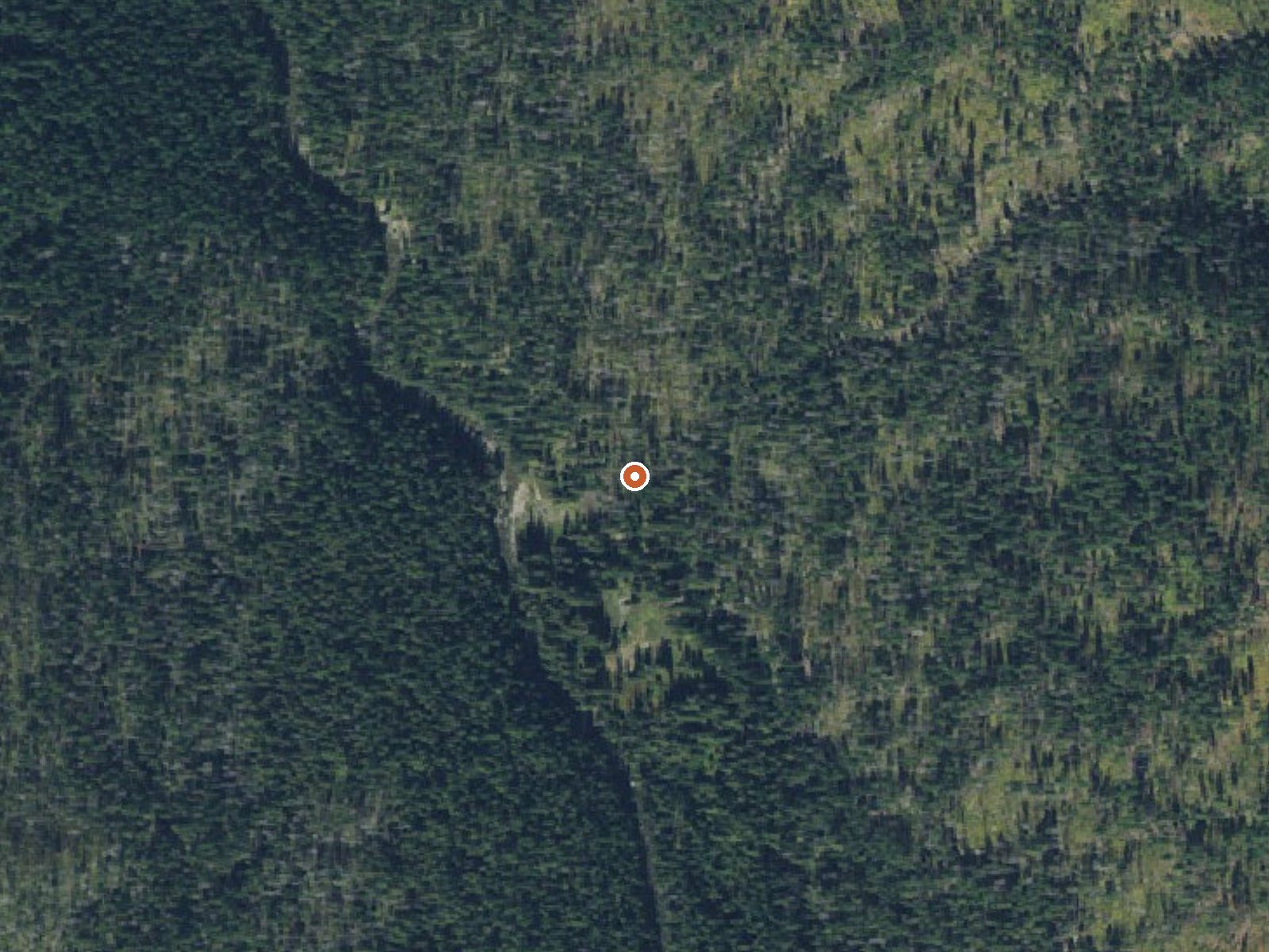
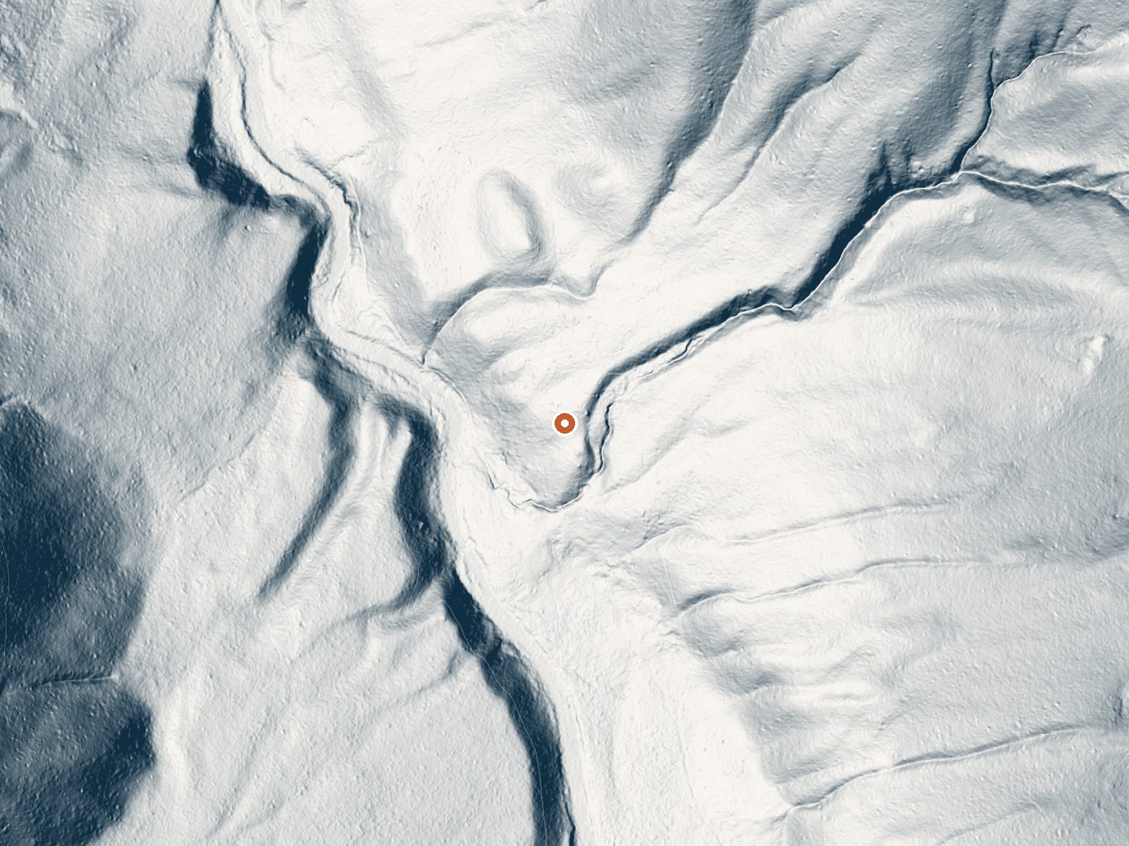
Drag the handle to compare the two views. The orange dot marks the spring, in a frame about three quarters of a mile wide.
- Setting
- Hillside
- The spring sits on a steep slope that climbs to the east.
- Highest ground nearby
- 338 ft above the spring
- Within a quarter mile, to the east
A slice through the ground from west to east, about 0.6 miles end to end.
Elevation data: USGS 3D Elevation Program. Aerial imagery: USGS The National Map. Public domain.
That's close to the US average of 65. It's higher than at 18% of the springs on this site.
Heat flow measures the warmth working its way up through the ground from deep inside the earth. Where it runs high, rain and snowmelt that seep down through cracks in the rock come back up hot.
See every spring on the geothermal heat map →
Heat flow estimate: Stanford Thermal Earth Model (Aljubran & Horne, 2024), CC BY 4.0.
The water at Jerry Johnson Hot Springs is alkaline (pH 9.5).
Some links are affiliate links. We may earn a commission at no extra cost to you.
Approximately an hour west of Lolo, MT at mile post 158.5 of the famous Northwest Passage Scenic Byway and All American Road (US Highway 12), directly across from the Lochsa Wild and Scenic River, rests the Whitehouse Campground. This riverside campground has 13 sites and due to its close proximity to the Lewis and Clark Trail, has much more to offer than just camping. It's an ideal location for fishing, hiking, back packing, nature viewing or as a place to stop and have a picnic while enjo...
Jerry Johnson Hot Springs is road-accessible, so you can bring more gear. The water runs hot, so extra hydration is key.





As an Amazon Associate, we earn from qualifying purchases.
Springs Near Jerry Johnson Hot Springs
More Springs Around 118°F
Alkaline Springs (pH ~9.5)
Hike 6 waterfalls near Jerry Johnson Hot Springs
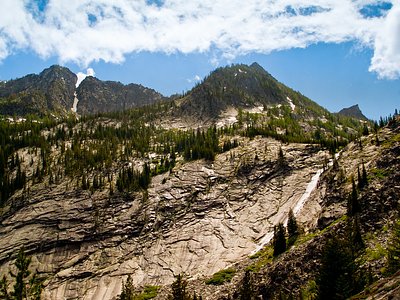
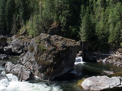
Looking for more outdoor adventures? Explore waterfall hikes near Jerry Johnson Hot Springs, Idaho.