Lolo Hot Springs, Granite Springs
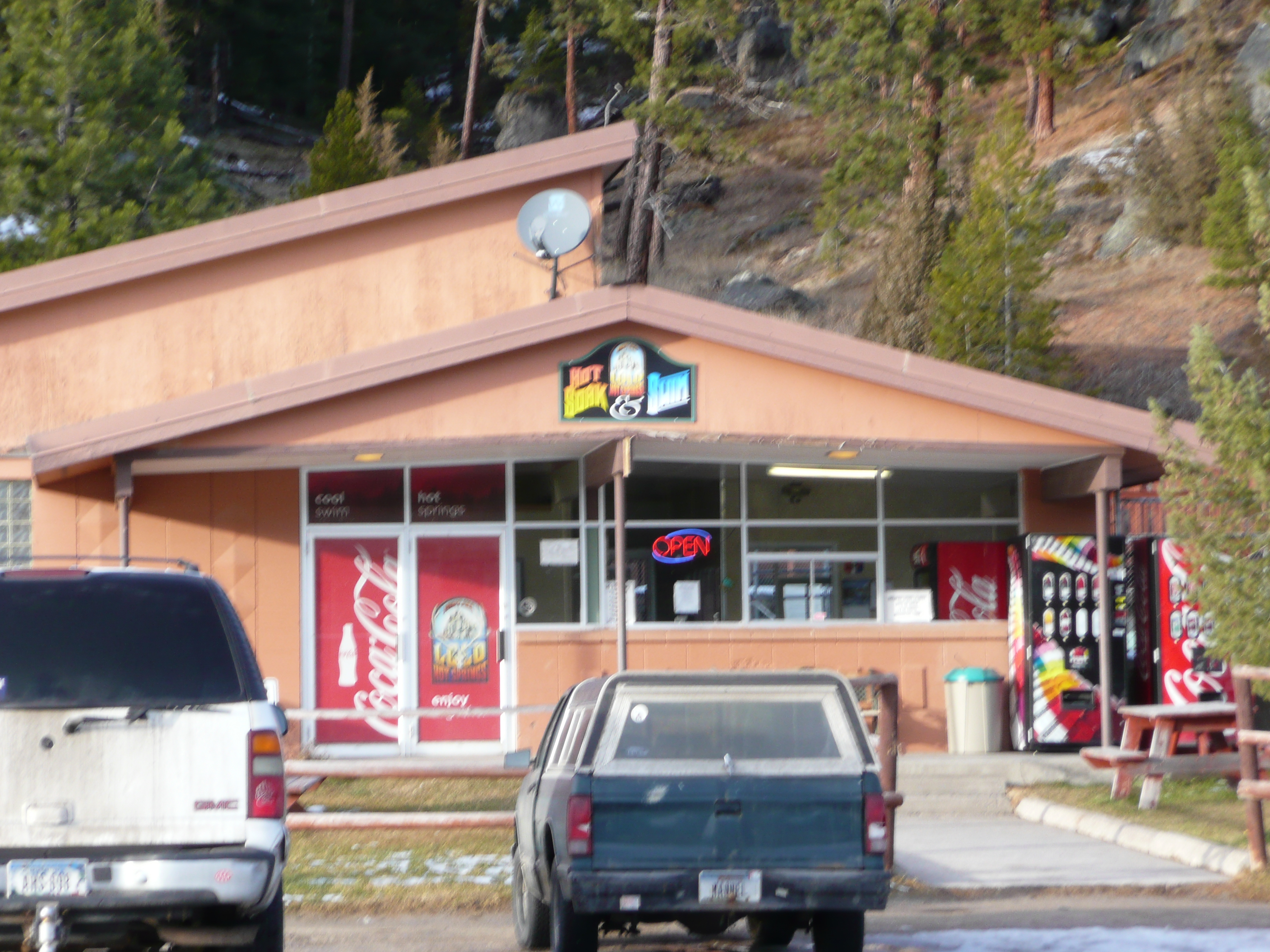
Lolo Hot Springs, also recorded as Granite Springs, is a commercial hot springs in Missoula County, Montana, the center of a small unincorporated community on U.S. Highway 12 with a hotel and a restaurant. Frenchtown is the nearest town in the record, about twenty-five miles off. The water is hot, past soaking temperature at the source. It was strongly alkaline in the 1974 USGS sample.
Lolo Creek Road is the nearest road named, under five hundred feet away. It sits fairly low for the state. Snow is serious here, ten feet in an average winter. Annual precipitation runs high. West Fork Butte Lookout, six miles away, is the nearest camping the record knows. No land owner appears in the row.
Because this is a developed commercial spring, expect a business; the record does not list a fee. December through February is what the record calls best. With that much snow, Highway 12 conditions decide everything. The USGS chemistry is half a century old, with a high pH and iron present. The source water is hotter than you would soak in.
In Salish the place is called smtt̓m̓čqi or sntt̓mčqey, which Wikipedia renders as Steam on a Ridge Top. The community that grew around the springs is the westernmost settlement on Highway 12 in Montana. The USGS sampled the water in August 1974.
Aircraft with laser scanners measured this ground to within inches. The scan strips out trees and buildings, leaving the bare shape of the land around Lolo Hot Springs, Granite Springs.
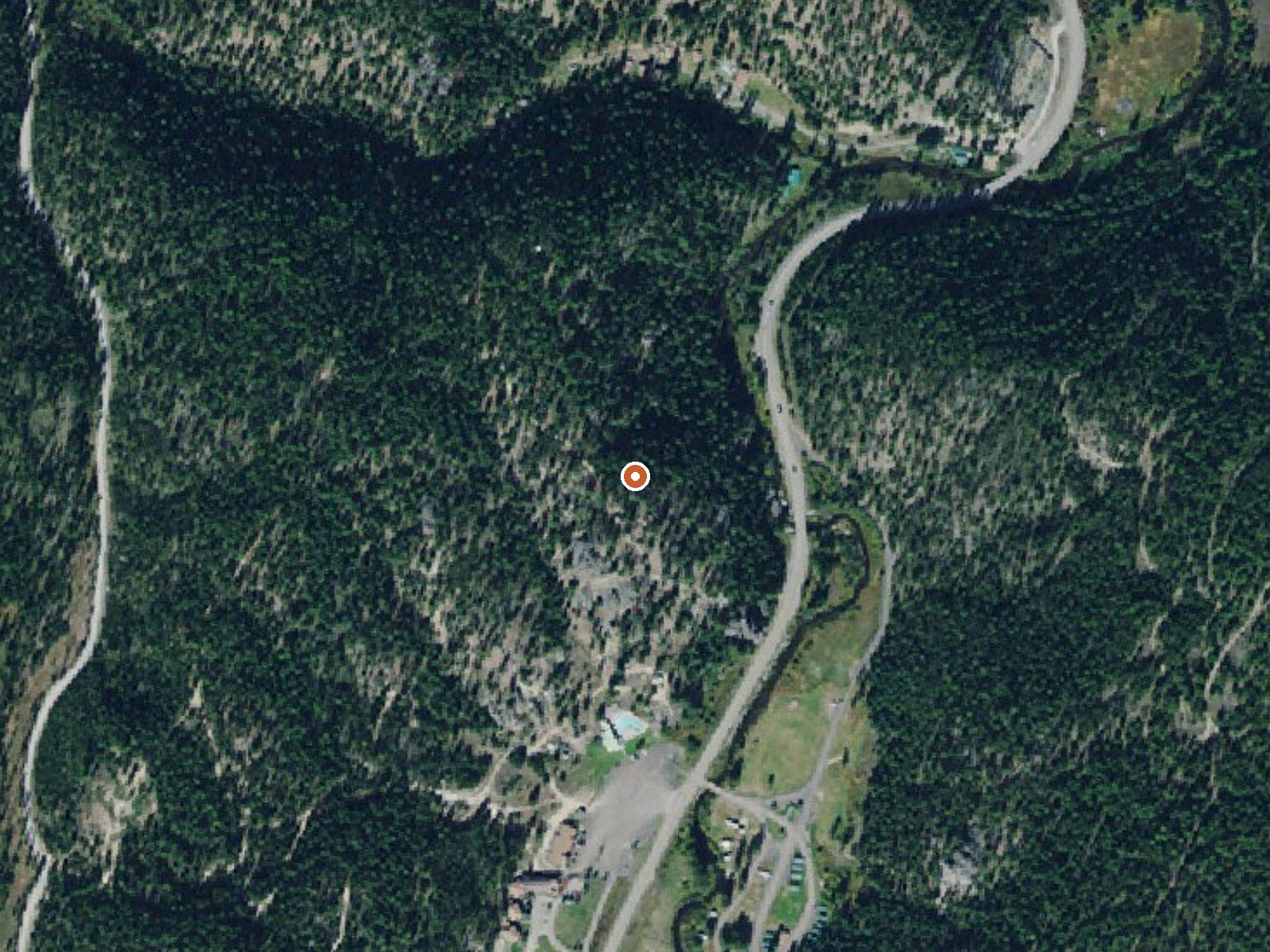
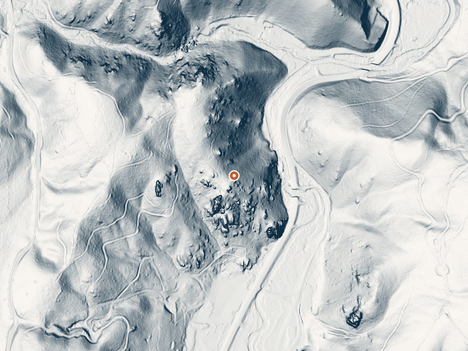
Drag the handle to compare the two views. The orange dot marks the spring, in a frame about three quarters of a mile wide.
- Setting
- Hillside
- The spring sits on a steep slope that climbs to the northwest.
- Highest ground nearby
- 110 ft above the spring
- Within a quarter mile, to the northwest
A slice through the ground from southwest to northeast, about 0.6 miles end to end.
Elevation data: USGS 3D Elevation Program. Aerial imagery: USGS The National Map. Public domain.
That's about 1½ times the US average of 65. It's higher than at 46% of the springs on this site.
Heat flow measures the warmth working its way up through the ground from deep inside the earth. Where it runs high, rain and snowmelt that seep down through cracks in the rock come back up hot.
See every spring on the geothermal heat map →
Heat flow estimate: Stanford Thermal Earth Model (Aljubran & Horne, 2024), CC BY 4.0.
The water at Lolo Hot Springs, Granite Springs is alkaline (pH 9.3).
Some links are affiliate links. We may earn a commission at no extra cost to you.
Overview West Fork Butte Lookout is an ideal place for guests to experience the mountains south of Missoula from a unique vantage point. The facility provides near-360-degree views of the surrounding area. It is equipped with basic supplies and provides guests a base camp location from which to explore the area. Access by vehicle is available for a relatively short time during the summer months and is variable during the spring and fall. From December 1 - May 1 Forest Road 37 is closed, requi...
Lolo Hot Springs, Granite Springs is road-accessible, so you can bring more gear. The water runs hot, so extra hydration is key. Cold air temperatures make a changing robe or warm layers essential.





As an Amazon Associate, we earn from qualifying purchases.
Springs Near Lolo Hot Springs, Granite Springs
More Springs Around 111°F
Alkaline Springs (pH ~9.3)
Hike 6 waterfalls near Lolo Hot Springs, Granite Springs
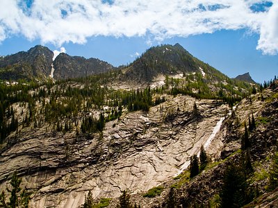
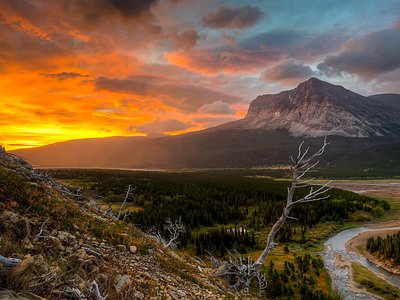
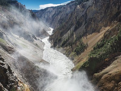
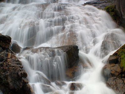
Looking for more outdoor adventures? Explore waterfall hikes near Lolo Hot Springs, Granite Springs, Montana.