Point Arena Hot Springs
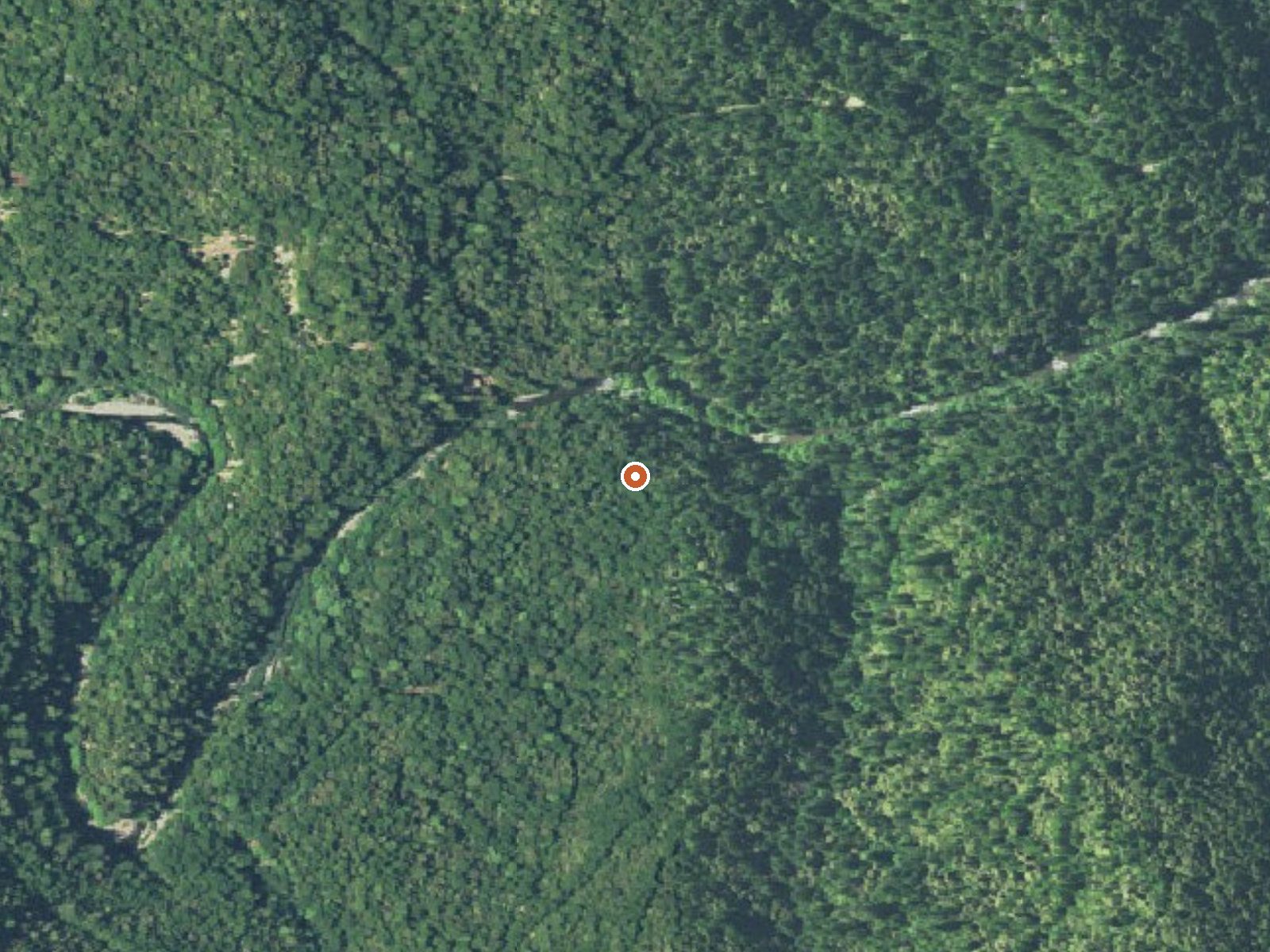
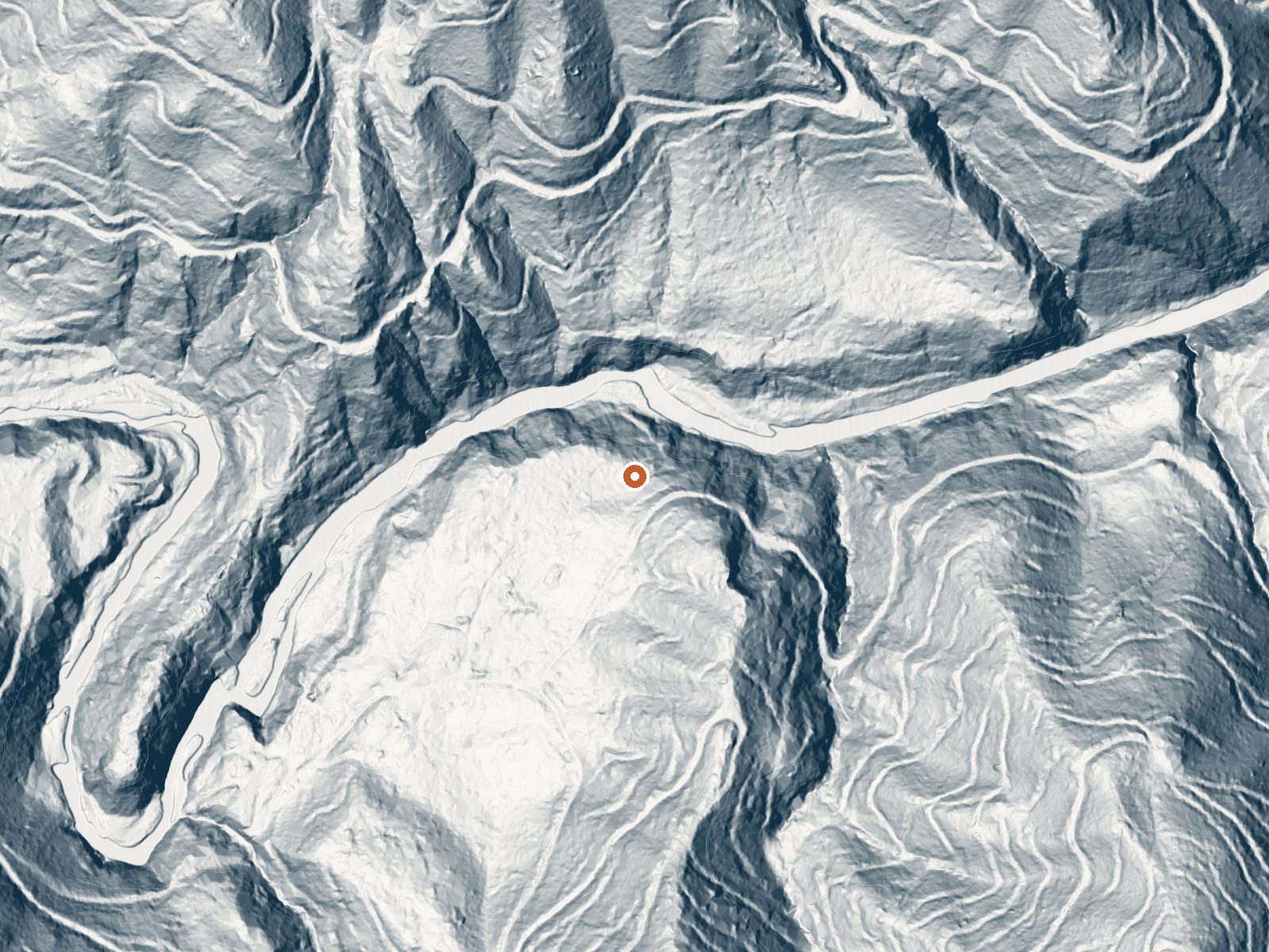
Drag the handle to compare the two views. The orange dot marks the spring, in a frame about three quarters of a mile wide.
Point Arena Hot Springs is a closed hot spring on the Garcia River, inside the Garcia River Forest, about eleven miles from Sea Ranch. The recorded temperature is hot, a touch over the soaking range. The important fact is the access status: closed. A conservation organization holds the land, and Wikipedia describes it as private timber property that is no longer legally open to the public.
The spring is two tenths of a mile from the road, on low ground in wet forest country that takes more than three feet of rain most years and almost no snow. The land record shows Garcia River Forest under NGO ownership with a private conservation designation. The file carries no road name and shows no fee.
Do not plan a trip here. The access status is closed and the owners are a timber and conservation interest, so walking in is trespass. If that ever changes, the water is on the hot side and would need care getting in, and the season would be the wet winter months listed. No campground or fee is recorded.
A resort operated at these springs in the late nineteenth and early twentieth centuries. The 1913 California Blue Book called Point Arena Hot Springs one of California's most beautiful health resorts. Wikipedia places them along the Garcia River about fifteen miles southeast of Point Arena and notes that the land passed into private timber company hands, ending public access.
Aircraft with laser scanners measured this ground to within inches. The scan strips out trees and buildings, leaving the bare shape of the land around Point Arena Hot Springs.
- Setting
- Canyon floor
- Steep ground climbs away on both sides of the spring.
- Highest ground nearby
- 355 ft above the spring
- Within a quarter mile, to the north
A slice through the ground from north to south, about 0.6 miles end to end.
Elevation data: USGS 3D Elevation Program. Aerial imagery: USGS The National Map. Public domain.
That's about 2½ times the US average of 65. It's higher than at 94% of the springs on this site.
Heat flow measures the warmth working its way up through the ground from deep inside the earth. Where it runs high, rain and snowmelt that seep down through cracks in the rock come back up hot.
See every spring on the geothermal heat map →
Heat flow estimate: Stanford Thermal Earth Model (Aljubran & Horne, 2024), CC BY 4.0.
Some links are affiliate links. We may earn a commission at no extra cost to you.
Point Arena Hot Springs is road-accessible, so you can bring more gear. The water runs hot, so extra hydration is key.




As an Amazon Associate, we earn from qualifying purchases.