Vichy Springs
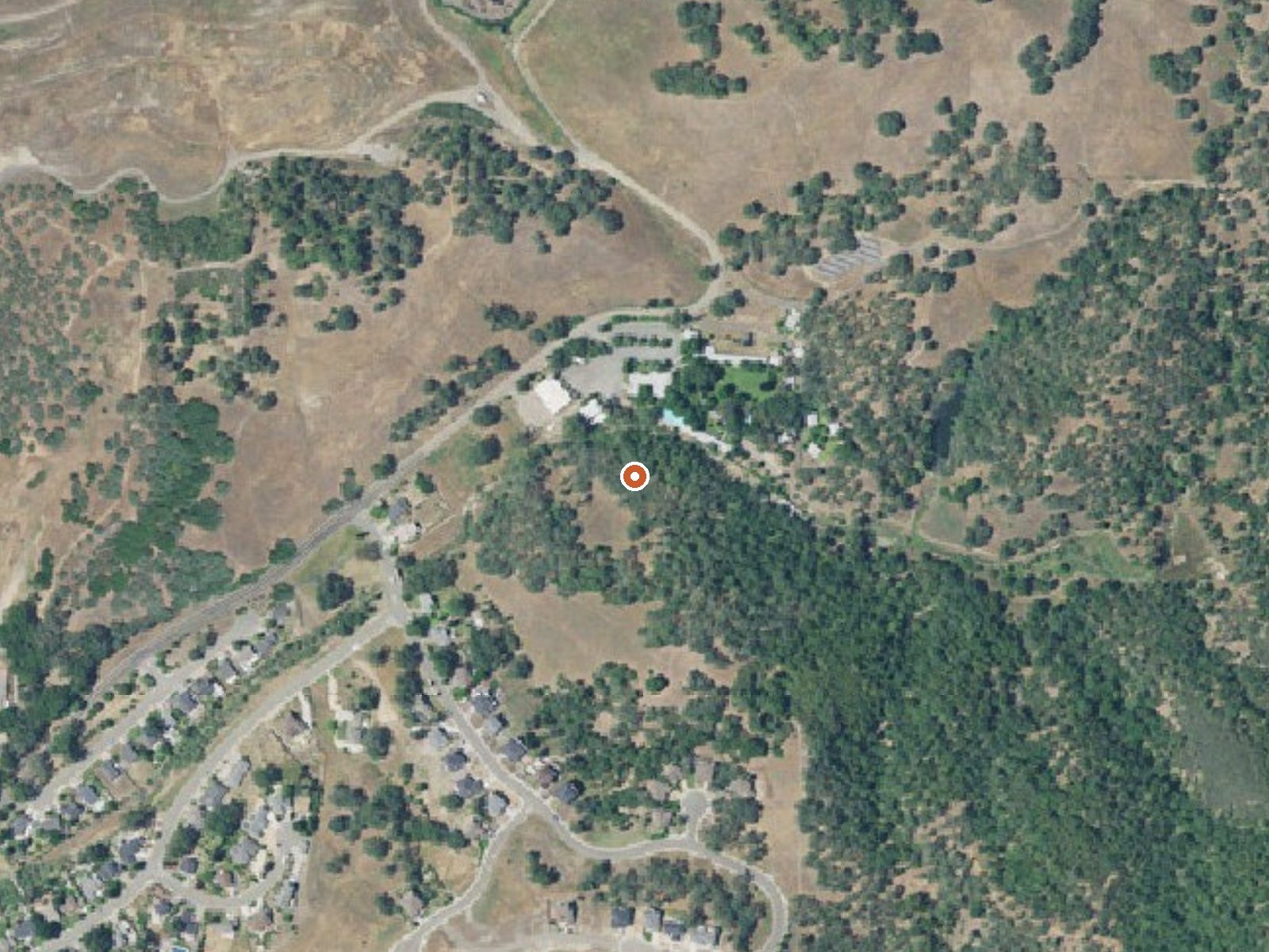
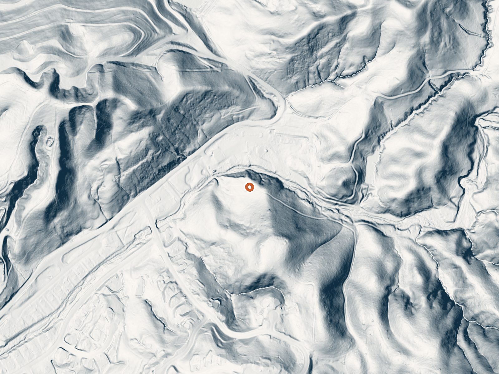
Drag the handle to compare the two views. The orange dot marks the spring, in a frame about three quarters of a mile wide.
Vichy Springs is a resort spring in Mendocino County, a couple of miles from Talmage and three miles or so east of Ukiah, where a set of mineral springs has had a resort built around it. On file the water is 85, warm to the hand and below soaking heat. Public access is not recorded here, which for a resort property means you go as a guest.
The springs sit on Sulphur Creek east of Ukiah at low elevation. A road lies a few hundred feet away. Rain is plentiful by California standards, close to three feet a year, and a cold winter brings a little snow. Chekaka Recreation Area at Lake Mendocino is the nearest camping the record knows of, about three miles distant.
The record flags December through February. This is a roadside stop and a resort, so contact the resort about day use and rates, since the record carries no fee. Camping is available nearby at Lake Mendocino. The USGS keeps a monitoring site at the springs, so the water has been measured more than once.
Wikipedia lists the place under earlier names, Ukiah Vichy Springs and Doolan's Ukiah Vichy Springs. Local Native Americans used the springs long before anyone wrote them down. Frank Marble, in 1848, is named as the first westerner to come across the hot springs here, and the resort grew up around them afterward.
Aircraft with laser scanners measured this ground to within inches. The scan strips out trees and buildings, leaving the bare shape of the land around Vichy Springs.
- Setting
- Hillside
- The spring sits on a steep slope that climbs to the northwest.
- Highest ground nearby
- 178 ft above the spring
- Within a quarter mile, to the northwest
A slice through the ground from north to south, about 0.6 miles end to end.
Elevation data: USGS 3D Elevation Program. Aerial imagery: USGS The National Map. Public domain.
That's about 1½ times the US average of 65. It's higher than at 59% of the springs on this site.
Heat flow measures the warmth working its way up through the ground from deep inside the earth. Where it runs high, rain and snowmelt that seep down through cracks in the rock come back up hot.
See every spring on the geothermal heat map →
Heat flow estimate: Stanford Thermal Earth Model (Aljubran & Horne, 2024), CC BY 4.0.
Some links are affiliate links. We may earn a commission at no extra cost to you.
Overview Chekaka Recreation Area is situated on Lake Mendocino in California's Mendocino Range, where redwood forests meet wine country. There is one reservable picnic pad in the Overlook Day-Use Area. Chekaka Campground has been permanently closed. The lake is formed by the Coyote Dam on the Russian River. A wide variety of recreational opportunities is available, including boating, swimming, water skiing, fishing, hiking and horseback riding. Recreation The 1,822-acre lake provides abundan...
Vichy Springs is road-accessible, so you can bring more gear.




As an Amazon Associate, we earn from qualifying purchases.