Muir Springs
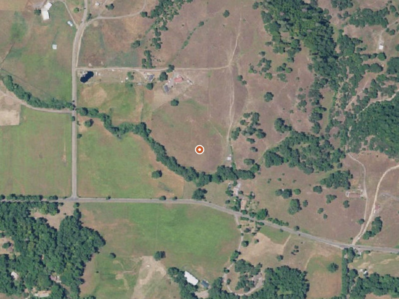
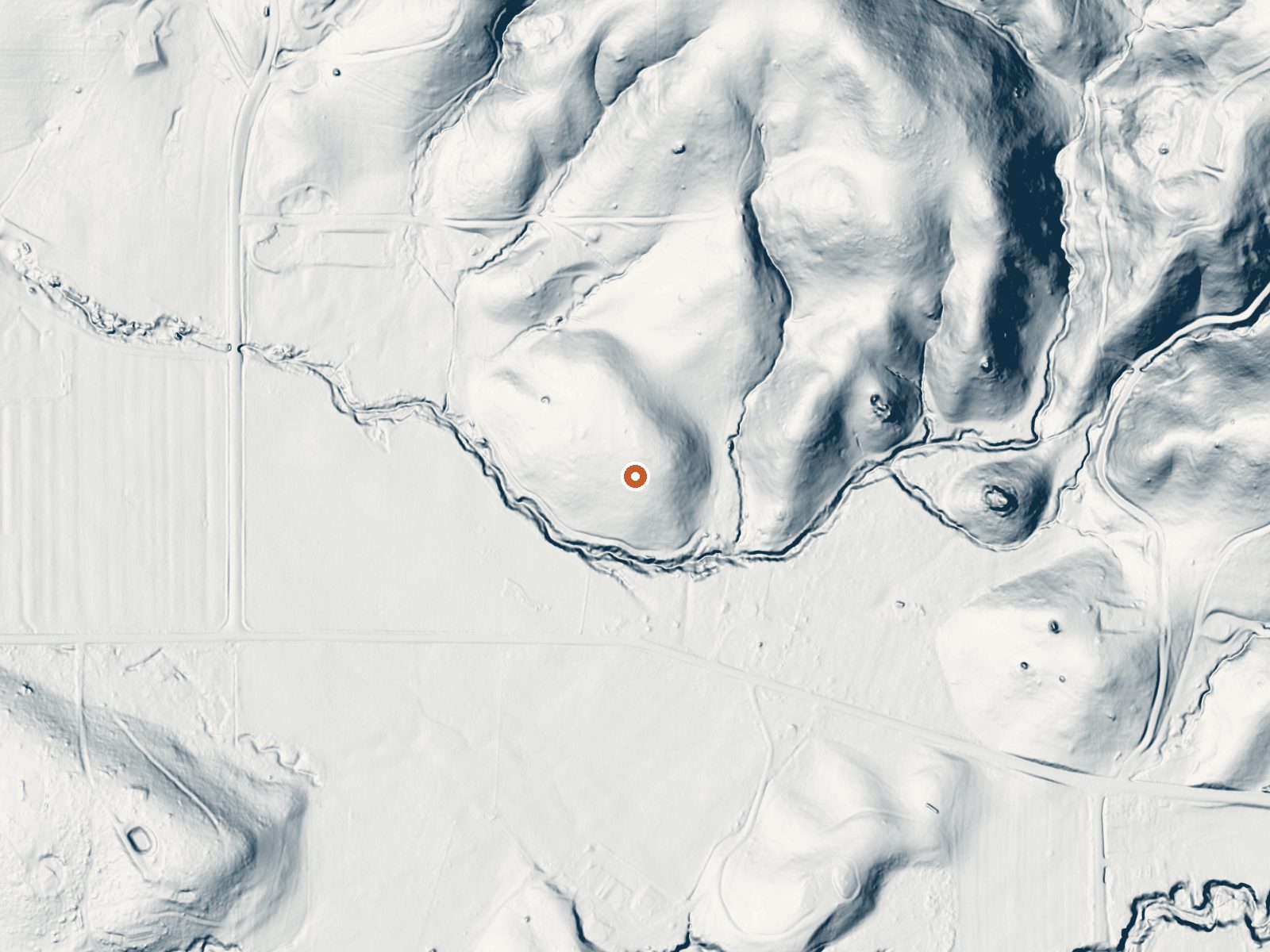
Drag the handle to compare the two views. The orange dot marks the spring, in a frame about three quarters of a mile wide.
Muir Springs is a barely warm spring outside Willits in Mendocino County, a few minutes from town by the numbers on file. The water temperature is in the high sixties, cooler than skin, so soaking is out. Neither an owner nor a land unit is recorded, and access status is blank too. It is on the list as a thermal point and little more.
Canyon Road passes within a couple hundred yards. The spring sits in low coastal-range hills around fourteen hundred feet, in a climate that is wet by California standards, over forty inches of rain plus some snow most winters.
Best months land on December through February, which is also when most of the rain falls here. Pomo Day Use Area is the closest camping listed, around fifteen miles out. Worth finding out who owns the ground. The water runs too cool for soaking anyway.
Aircraft with laser scanners measured this ground to within inches. The scan strips out trees and buildings, leaving the bare shape of the land around Muir Springs.
- Setting
- Gentle slope
- The ground tilts gently up to the northeast.
- Highest ground nearby
- 125 ft above the spring
- Within a quarter mile, to the northeast
A slice through the ground from southwest to northeast, about 0.6 miles end to end.
Elevation data: USGS 3D Elevation Program. Aerial imagery: USGS The National Map. Public domain.
That's about twice the US average of 65. It's higher than at 88% of the springs on this site.
Heat flow measures the warmth working its way up through the ground from deep inside the earth. Where it runs high, rain and snowmelt that seep down through cracks in the rock come back up hot.
See every spring on the geothermal heat map →
Heat flow estimate: Stanford Thermal Earth Model (Aljubran & Horne, 2024), CC BY 4.0.
Overview Pomo Day-Use Area is situated on Lake Mendocino in California's Mendocino Range, where the redwood forests meet California wine country. The lake is formed by the Coyote Dam on the Russian River. A wide variety of recreational opportunities are available, including boating, swimming, water skiing, fishing, hiking and horseback riding.Recreation The 1,822-acre lake provides abundant boating, swimming and water skiing opportunities. There is a designated swim beach in the Pomo Recreat...
Springs Near Muir Springs
More Springs Around 68°F
Hike 1 waterfall near Muir Springs
Looking for more outdoor adventures? Explore waterfall hikes near Muir Springs, California.