Orrs Springs
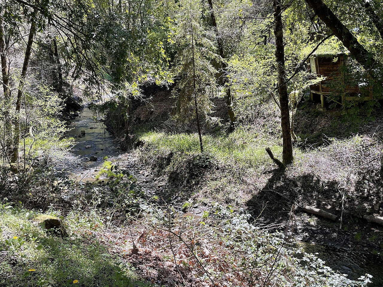
Orrs Springs is a group of hot springs in the hills of Mendocino County, reached by Orr Springs Road out of Ukiah. Redwood Valley is the closest town in our records, about nine miles away. The water comes out at a temperature most people would call a good soak. A resort once stood here. The current file does not say who owns the ground or whether visitors are allowed in.
The springs lie a few hundred feet from Orr Springs Road. This is wet country by California standards, with somewhere near three feet of rain annually and a little snow most winters. Wikipedia puts the elevation at about a thousand feet. The surrounding land is not described in our data beyond the county, and the approach is whatever Orr Springs Road happens to be.
The file favors the three winter months, when the rain is heaviest. For camping, the record points to Chekaka Recreation Area on Lake Mendocino, about ten miles off. The file does not record access or ownership, and it says nothing about a fee. A place with a resort in its past may well have a gate. Find out before you go.
Wikipedia describes Orrs Springs as a set of springs around which a resort and a stagecoach station grew, and notes that the place was once called Orr's Hot Sulphur Springs and, more briefly, Orrs. It sits about fifteen miles almost due north of Boonville, though the usual approach is from Ukiah along Orr Springs Road.
Aircraft with laser scanners measured this ground to within inches. The scan strips out trees and buildings, leaving the bare shape of the land around Orrs Springs.
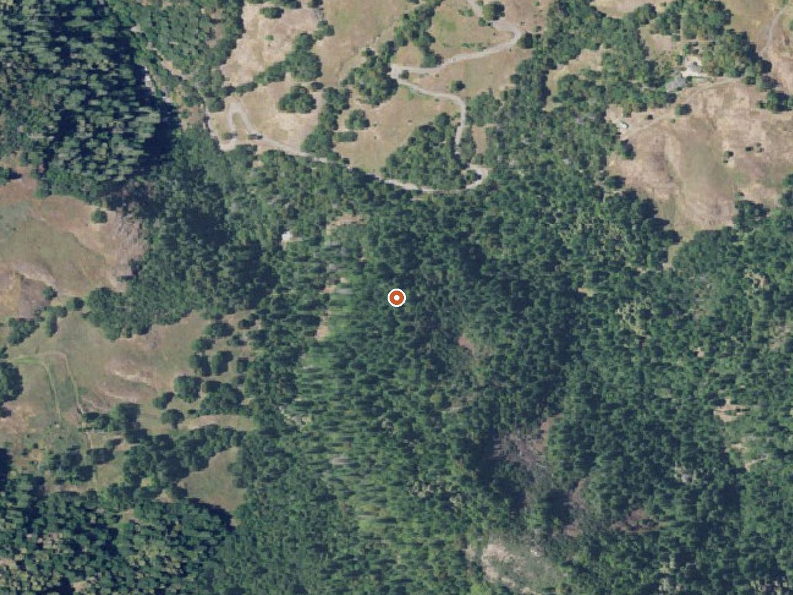
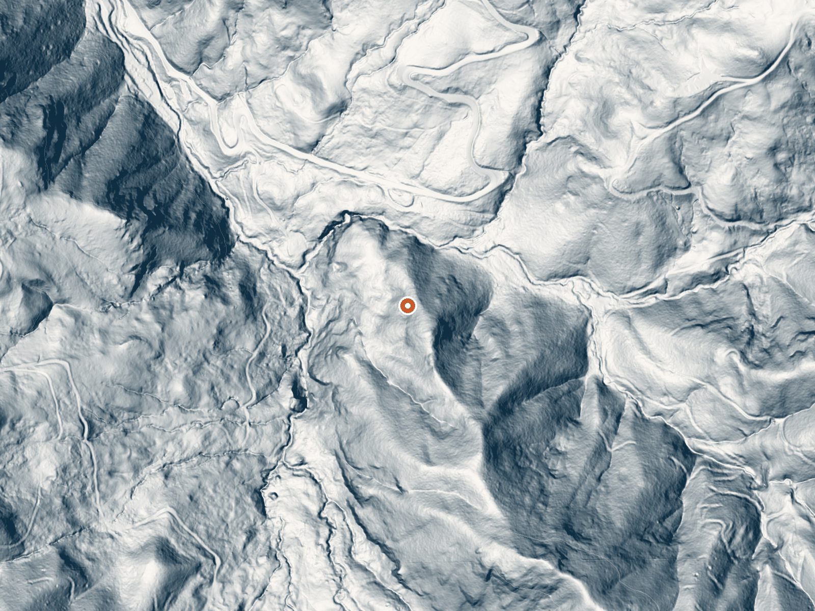
Drag the handle to compare the two views. The orange dot marks the spring, in a frame about three quarters of a mile wide.
- Setting
- Hillside
- The spring sits on a steep slope that climbs to the south.
- Highest ground nearby
- 448 ft above the spring
- Within a quarter mile, to the south
A slice through the ground from northwest to southeast, about 0.6 miles end to end.
Elevation data: USGS 3D Elevation Program. Aerial imagery: USGS The National Map. Public domain.
That's about twice the US average of 65. It's higher than at 67% of the springs on this site.
Heat flow measures the warmth working its way up through the ground from deep inside the earth. Where it runs high, rain and snowmelt that seep down through cracks in the rock come back up hot.
See every spring on the geothermal heat map →
Heat flow estimate: Stanford Thermal Earth Model (Aljubran & Horne, 2024), CC BY 4.0.
Some links are affiliate links. We may earn a commission at no extra cost to you.
Overview Chekaka Recreation Area is situated on Lake Mendocino in California's Mendocino Range, where redwood forests meet wine country. There is one reservable picnic pad in the Overlook Day-Use Area. Chekaka Campground has been permanently closed. The lake is formed by the Coyote Dam on the Russian River. A wide variety of recreational opportunities is available, including boating, swimming, water skiing, fishing, hiking and horseback riding. Recreation The 1,822-acre lake provides abundan...
Orrs Springs is road-accessible, so you can bring more gear.




As an Amazon Associate, we earn from qualifying purchases.
Springs Near Orrs Springs
More Springs Around 104°F
Hike 1 waterfall near Orrs Springs
Looking for more outdoor adventures? Explore waterfall hikes near Orrs Springs, California.