Pincock (Green Canyon) Hot Springs
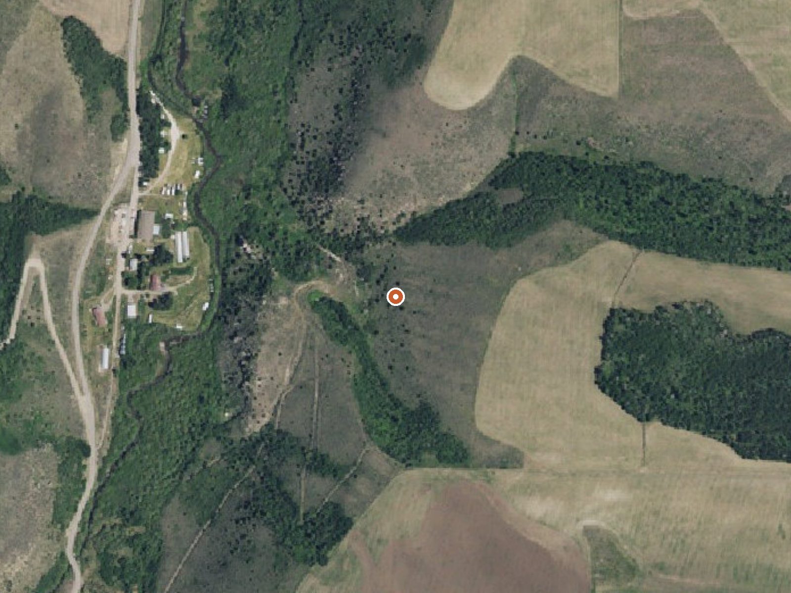
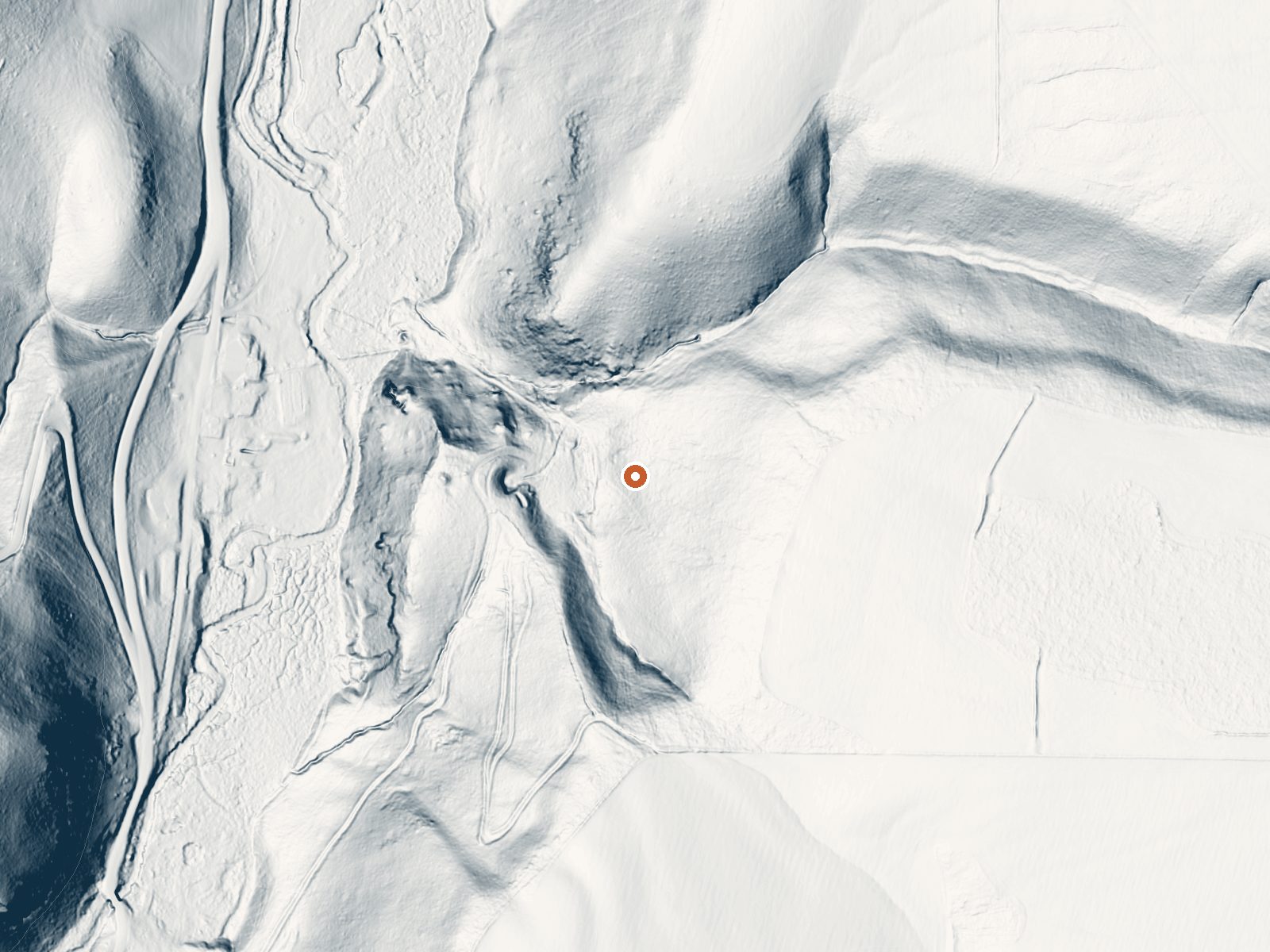
Drag the handle to compare the two views. The orange dot marks the spring, in a frame about three quarters of a mile wide.
Pincock Hot Springs, also written up as Green Canyon Hot Springs, is in Fremont County around twenty miles from Ashton. The USGS sampled it in 1977 and found it hot, a few degrees over what most people can sit in comfortably, with water close to neutral. Neither an owner nor an access status appears on file.
The walk in from the nearest road is about a fifth of a mile. Which road that is, the record does not say. The spring sits fairly high, in country that averages in the low forties through the year and collects something like six and a half feet of snow. Precipitation is middling.
Midwinter gets the nod as the best time. Table Rock is the campground on file, roughly thirteen miles away. That temperature reading is almost fifty years old, so expect it to have drifted. What was measured then was hot enough to want cooling. Since ownership is unknown, check locally before you plan a soak.
Aircraft with laser scanners measured this ground to within inches. The scan strips out trees and buildings, leaving the bare shape of the land around Pincock (Green Canyon) Hot Springs.
- Setting
- Hillside
- The spring sits on a steep slope that climbs to the southeast.
- Highest ground nearby
- 243 ft above the spring
- Within a quarter mile, to the southeast
A slice through the ground from northwest to southeast, about 0.6 miles end to end.
Elevation data: USGS 3D Elevation Program. Aerial imagery: USGS The National Map. Public domain.
That's about twice the US average of 65. It's higher than at 70% of the springs on this site.
Heat flow measures the warmth working its way up through the ground from deep inside the earth. Where it runs high, rain and snowmelt that seep down through cracks in the rock come back up hot.
See every spring on the geothermal heat map →
Heat flow estimate: Stanford Thermal Earth Model (Aljubran & Horne, 2024), CC BY 4.0.
The water at Pincock (Green Canyon) Hot Springs is slightly acidic (pH 6.7). It is notably rich in calcium (may support bone density and joint health), magnesium (known for muscle relaxation and stress relief), and sulfate (traditionally used for skin conditions and inflammation).
Overview Table Rock Campground is located in a small but scenic canyon near Kelly Canyon Ski Resort, approximately 30 miles from Idaho Falls, Idaho. Hiking, mountain biking and ATV riding are popular activities.Recreation Hawley Gulch Trail begins at the campground, offering great opportunities for ATV enthusiasts, hikers and mountain bikers. Numerous forest roads and trails in the area allow ATV travel, hiking, horseback riding and mountain biking.Facilities Table Rock is a large group campg...
Pincock (Green Canyon) Hot Springs sits at 5,820 feet above sea level, way above the mile-high mark. You may not feel the altitude strongly, but hot water still dehydrates you faster at elevation. UV is about 23% stronger than at sea level, so bring sunscreen and drink more water than you normally would.



As an Amazon Associate, we earn from qualifying purchases.
Springs Near Pincock (Green Canyon) Hot Springs
More Springs Around 111°F
Slightly Acidic Springs (pH ~6.7)
Hike 6 waterfalls near Pincock (Green Canyon) Hot Springs
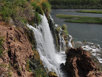
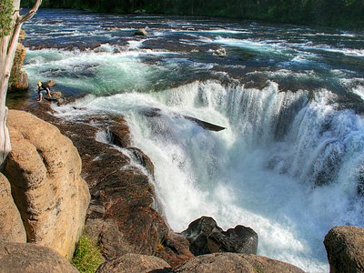
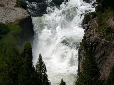
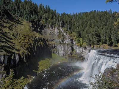
Looking for more outdoor adventures? Explore waterfall hikes near Pincock (Green Canyon) Hot Springs, Idaho.