Campbell Hot Springs
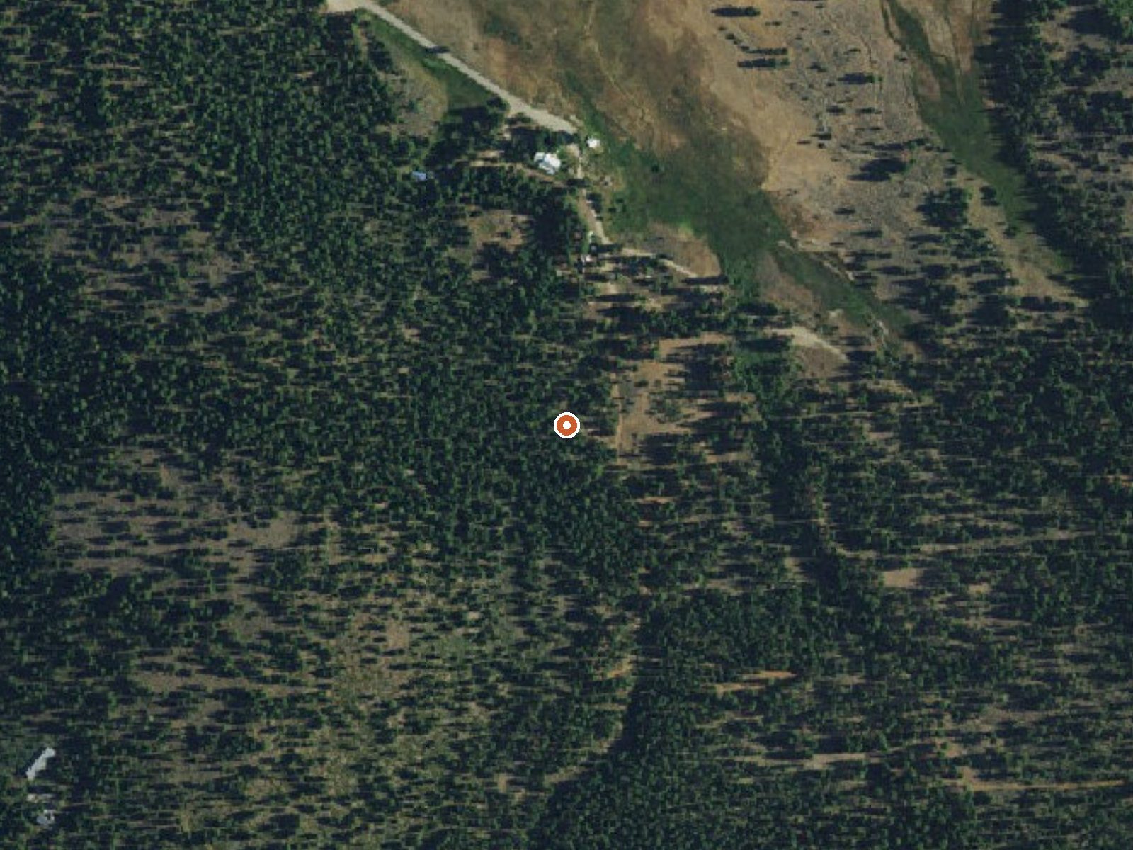
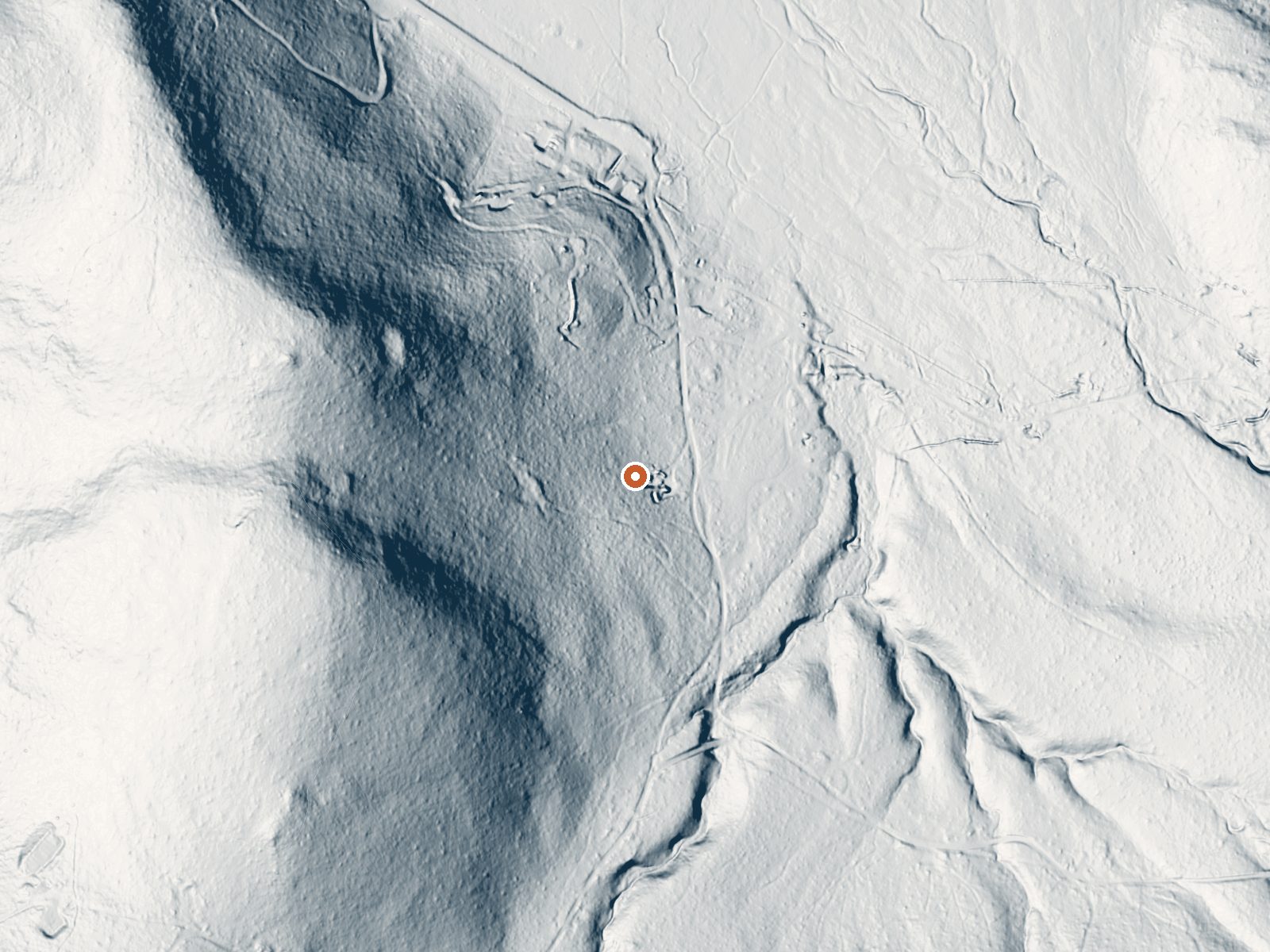
Drag the handle to compare the two views. The orange dot marks the spring, in a frame about three quarters of a mile wide.
Campbell Hot Springs, also known as Sierra Hot Springs, is a resort spring complex. The record places it in Plumas County, about nineteen miles from Portola, while Wikipedia puts it in Sierra County a mile and a half from Sierraville. Temperature on record: hot, a notch past comfortable. Public access is not on file.
Campbell Hot Springs Road runs within about two hundred feet. Elevation is a little over five thousand feet, and winters deliver about ten feet of snow, which makes the road itself a seasonal question. Cottonwood Creek campground is close, a couple of miles. No public land unit is attached, consistent with a privately run resort.
Winter months are listed, with ten feet of snow to plan around. Cottonwood Creek is where the record sends campers. USGS chemistry from 2008 has the water slightly alkaline with modest dissolved solids. At this temperature most people want to ease in. Expect resort terms and fees; none are recorded here.
Wikipedia says the springs were turned into a resort in the 1880s and the community was founded around it as a thermal resort. It carries the name Sierra Hot Springs as well.
Aircraft with laser scanners measured this ground to within inches. The scan strips out trees and buildings, leaving the bare shape of the land around Campbell Hot Springs.
- Setting
- Hillside
- The spring sits on a steep slope that climbs to the west.
- Highest ground nearby
- 233 ft above the spring
- Within a quarter mile, to the west
A slice through the ground from west to east, about 0.6 miles end to end.
Elevation data: USGS 3D Elevation Program. Aerial imagery: USGS The National Map. Public domain.
That's about twice the US average of 65. It's higher than at 73% of the springs on this site.
Heat flow measures the warmth working its way up through the ground from deep inside the earth. Where it runs high, rain and snowmelt that seep down through cracks in the rock come back up hot.
See every spring on the geothermal heat map →
Heat flow estimate: Stanford Thermal Earth Model (Aljubran & Horne, 2024), CC BY 4.0.
The water at Campbell Hot Springs is slightly alkaline (pH 7.5) with 161 mg/L total dissolved solids.
Some links are affiliate links. We may earn a commission at no extra cost to you.
Overview Cottonwood Creek Campground is located on Highway 89, four miles south of Sierraville. Its location makes it a great base camp for a variety of recreational activities, including fishing, hunting, hiking and biking. This facility is operated and maintained by Lake Tahoe Hospitality LLC for the Tahoe National Forest.Recreation Cottonwood Creek Botanical Trail and Overlook Trail are both short, foot trails that begin in the campground. The surrounding area offers additional trails and...
Campbell Hot Springs is road-accessible, so you can bring more gear. The water runs hot, so extra hydration is key.





As an Amazon Associate, we earn from qualifying purchases.
Springs Near Campbell Hot Springs
More Springs Around 111°F
Slightly Alkaline Springs (pH ~7.5)
Hike 6 waterfalls near Campbell Hot Springs
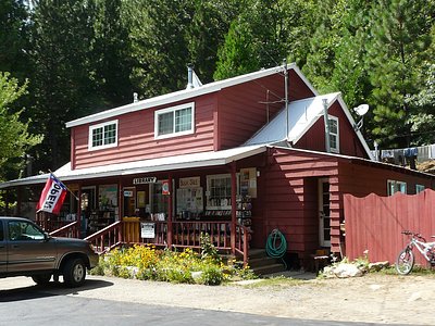
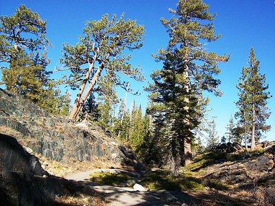
Looking for more outdoor adventures? Explore waterfall hikes near Campbell Hot Springs, California.