Marble Hot Springs
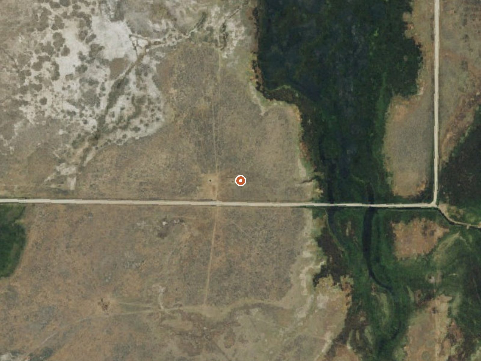
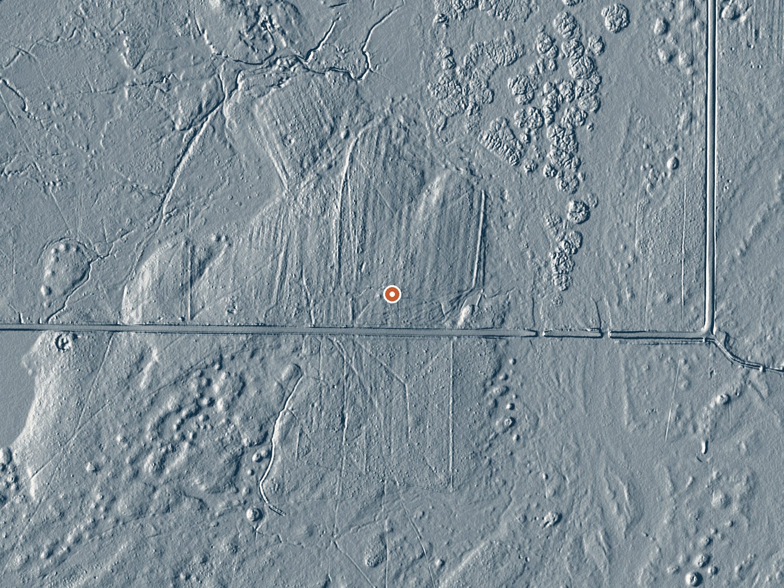
Drag the handle to compare the two views. The orange dot marks the spring, in a frame about three quarters of a mile wide.
Marble Hot Springs sits off Marble Hot Springs Road in Plumas County, about eight miles from Portola, and OpenStreetMap lists it under the same name. No temperature is on record, which means nothing here tells you if the water is hot enough to matter or safe to enter. Land owner and access are also blank. No photo.
Roughly two hundred feet separates the road from the spring. Elevation is close to five thousand feet, with a snowy winter and moderate rain. The nearest camping in the record is Calpine Lookout, about eight miles away. The row has nothing for land unit or designation, and the snowfall figure is the main thing it does say about conditions.
There is no best-months entry. With no temperature recorded, do not assume anything about soaking; the water could be scalding or cold. Calpine Lookout is the campground to plan around. Whoever owns the ground is not recorded, so look for posting along Marble Hot Springs Road before walking in.
Aircraft with laser scanners measured this ground to within inches. The scan strips out trees and buildings, leaving the bare shape of the land around Marble Hot Springs.
- Setting
- Open ground
- Flat, open ground all around.
- Highest ground nearby
- 3 ft above the spring
- Within a quarter mile, to the west
A slice through the ground from west to east, about 0.6 miles end to end.
Elevation data: USGS 3D Elevation Program. Aerial imagery: USGS The National Map. Public domain.
That's about twice the US average of 65. It's higher than at 74% of the springs on this site.
Heat flow measures the warmth working its way up through the ground from deep inside the earth. Where it runs high, rain and snowmelt that seep down through cracks in the rock come back up hot.
See every spring on the geothermal heat map →
Heat flow estimate: Stanford Thermal Earth Model (Aljubran & Horne, 2024), CC BY 4.0.
Overview Calpine is a forest fire lookout tower that was constructed in 1934 by the Civilian Conservation Corps, and is one of three remaining examples of the enclosed windmill-style lookout in California. The lookout was actively used every summer until 1975. It is a three-story structure with external stairs. The top room or observation cab is the only rentable space at this time. This is a popular rental facility that is booked almost every night of the year. Calpine sits at an elev...
Springs Near Marble Hot Springs
Hike 6 waterfalls near Marble Hot Springs
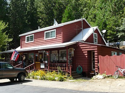
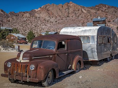
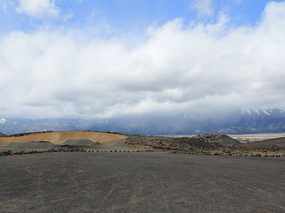
Looking for more outdoor adventures? Explore waterfall hikes near Marble Hot Springs, California.