Zamboni Hot Springs
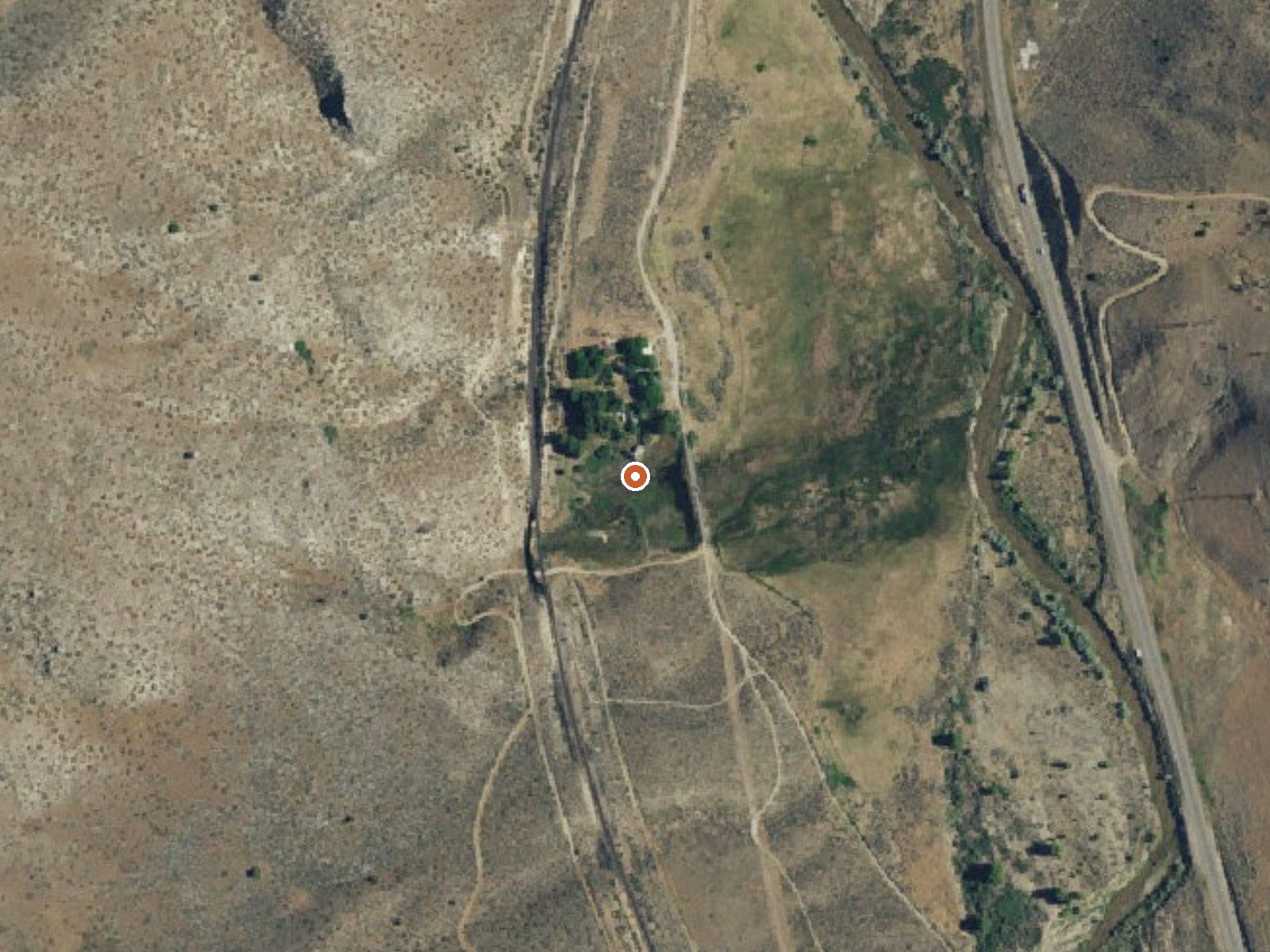
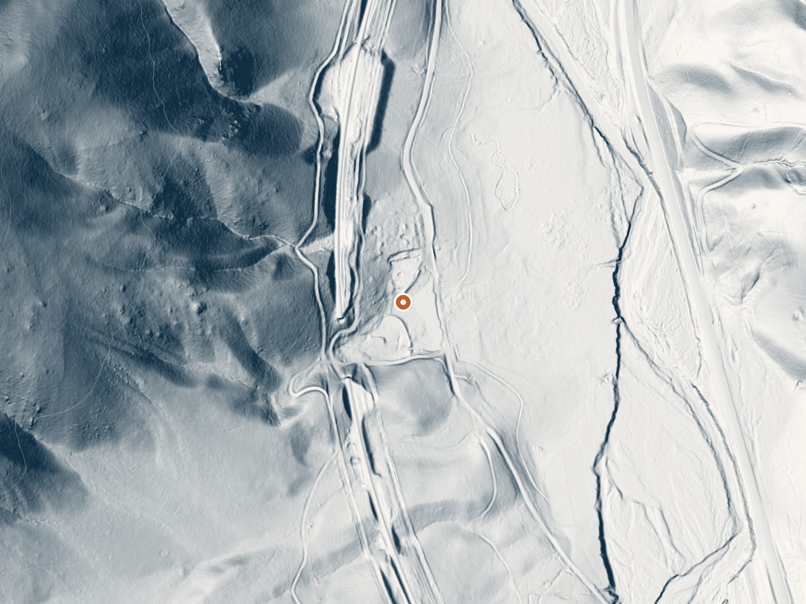
Drag the handle to compare the two views. The orange dot marks the spring, in a frame about three quarters of a mile wide.
Zamboni Hot Springs is a thermal spring the record places in Washoe County with California as the state, and the nearest town on file, Cold Springs, is a long way off, better than ninety miles. The qualifier on file says hot, but there is no temperature figure, so do not take it as soakable on this page's say-so. A 2003 water sample gave it a mildly alkaline pH and a low mineral content.
Scott Road passes close by, a couple hundred feet, so this counts as roadside. Elevation is near forty-nine hundred feet, high country. Snow runs to about four feet a season, with moderate rainfall. Ownership is absent from the record, and so is a land unit. The road is named; the ground it crosses is not described anywhere in the file.
no best months is on record for this one, and with several feet of snow the winter will be the hard part. Roadside. Big Cove campground in the Plumas National Forest shows up about eight miles away. Fee and access are unrecorded. The temperature is not in this record even though the USGS logged a site and took a 2003 sample.
Aircraft with laser scanners measured this ground to within inches. The scan strips out trees and buildings, leaving the bare shape of the land around Zamboni Hot Springs.
- Setting
- Hillside
- The spring sits on a steep slope that climbs to the west.
- Highest ground nearby
- 447 ft above the spring
- Within a quarter mile, to the west
A slice through the ground from west to east, about 0.6 miles end to end.
Elevation data: USGS 3D Elevation Program. Aerial imagery: USGS The National Map. Public domain.
That's about twice the US average of 65. It's higher than at 70% of the springs on this site.
Heat flow measures the warmth working its way up through the ground from deep inside the earth. Where it runs high, rain and snowmelt that seep down through cracks in the rock come back up hot.
See every spring on the geothermal heat map →
Heat flow estimate: Stanford Thermal Earth Model (Aljubran & Horne, 2024), CC BY 4.0.
The water at Zamboni Hot Springs is slightly alkaline (pH 7.6) with 187 mg/L total dissolved solids.
Some links are affiliate links. We may earn a commission at no extra cost to you.
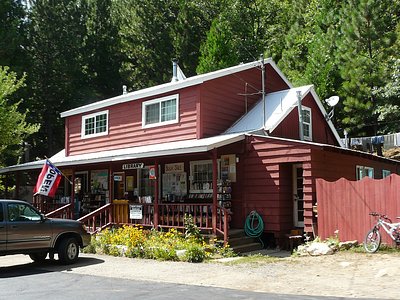
Overview Big Cove Campground (5,700 feet) is located near the shores of Frenchman Lake in Northeastern California. Some families have been returning here for more than thirty years. Situated at the interface between the wild Sierra and the high desert, it's a perfect place to serve as hub for a wide range of recreation opportunities. Plumas National Forest has many back roads open for exploration. Take advantage of the beautiful blue waters of Frenchman Lake for boating, fishing and other wat...
Zamboni Hot Springs is road-accessible, so you can bring more gear.






As an Amazon Associate, we earn from qualifying purchases.
Springs Near Zamboni Hot Springs
Slightly Alkaline Springs (pH ~7.6)
Hike 5 waterfalls near Zamboni Hot Springs
Looking for more outdoor adventures? Explore waterfall hikes near Zamboni Hot Springs, California.