Spring
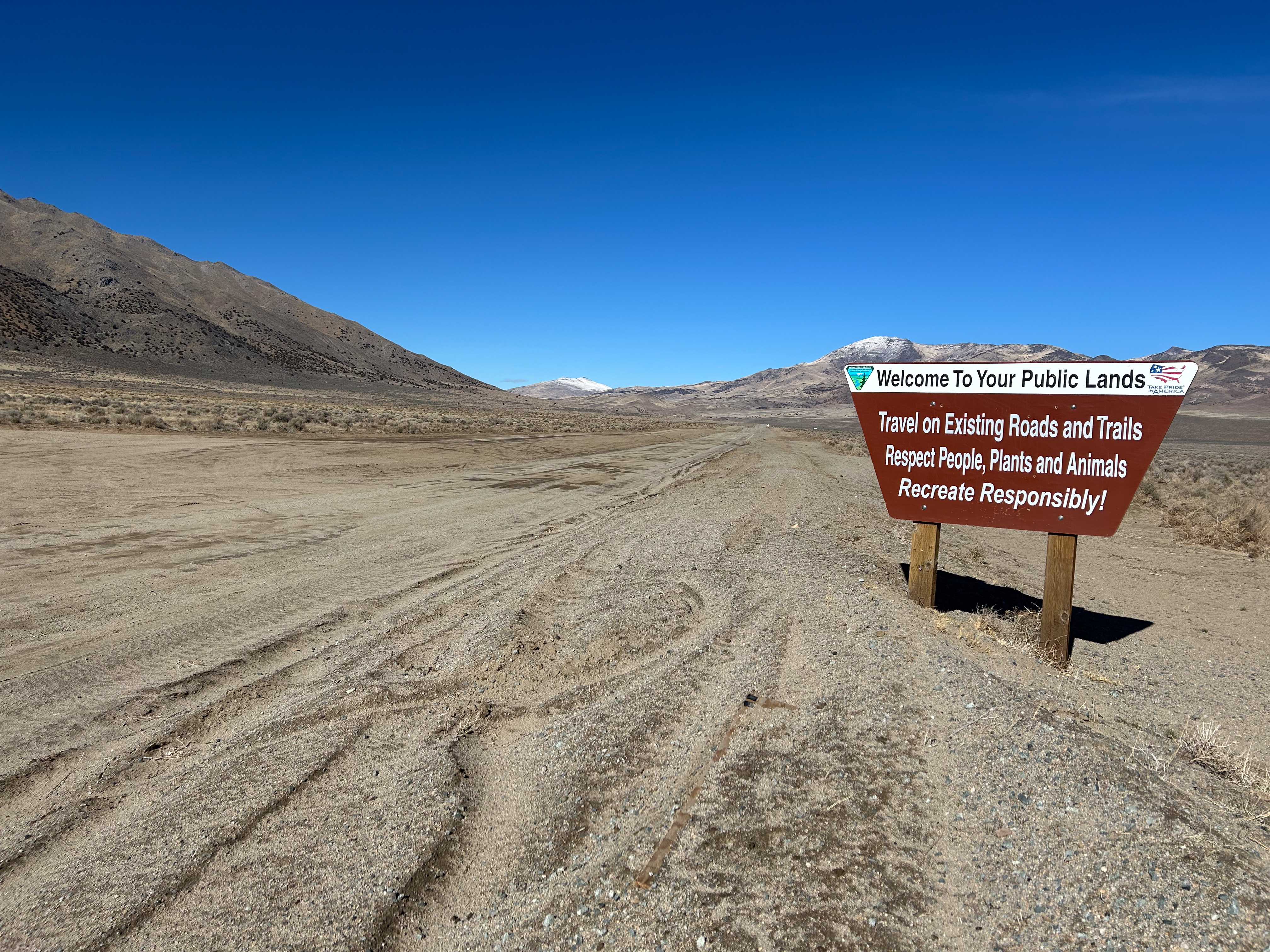
An unnamed thermal point in Washoe County on Sierra Front Field Office land, open to the public, about fourteen miles out of Spanish Springs. The water is barely warm, the sort you notice with a hand and would hardly sit in. A photograph is on file. Chemistry has never been sampled here, and nothing else about the water is known.
Winnemucca Ranch Road is where you leave the car, and the source is a fifth of a mile on from there. The ground sits a shade above four thousand feet. Snow totals about three feet a winter and the rest of the year stays dry. It is public land with no designation attached. Nobody has put on paper what waits at the end of that walk.
The flagged months are the winter ones. Open access, no fee, and the walk is brief. Chilcoot is the nearest listed campground, roughly twenty-four miles away. With water this cool, rule out a hot soak. Check current land notices before visiting, and carry water of your own.
Aircraft with laser scanners measured this ground to within inches. The scan strips out trees and buildings, leaving the bare shape of the land around Spring.
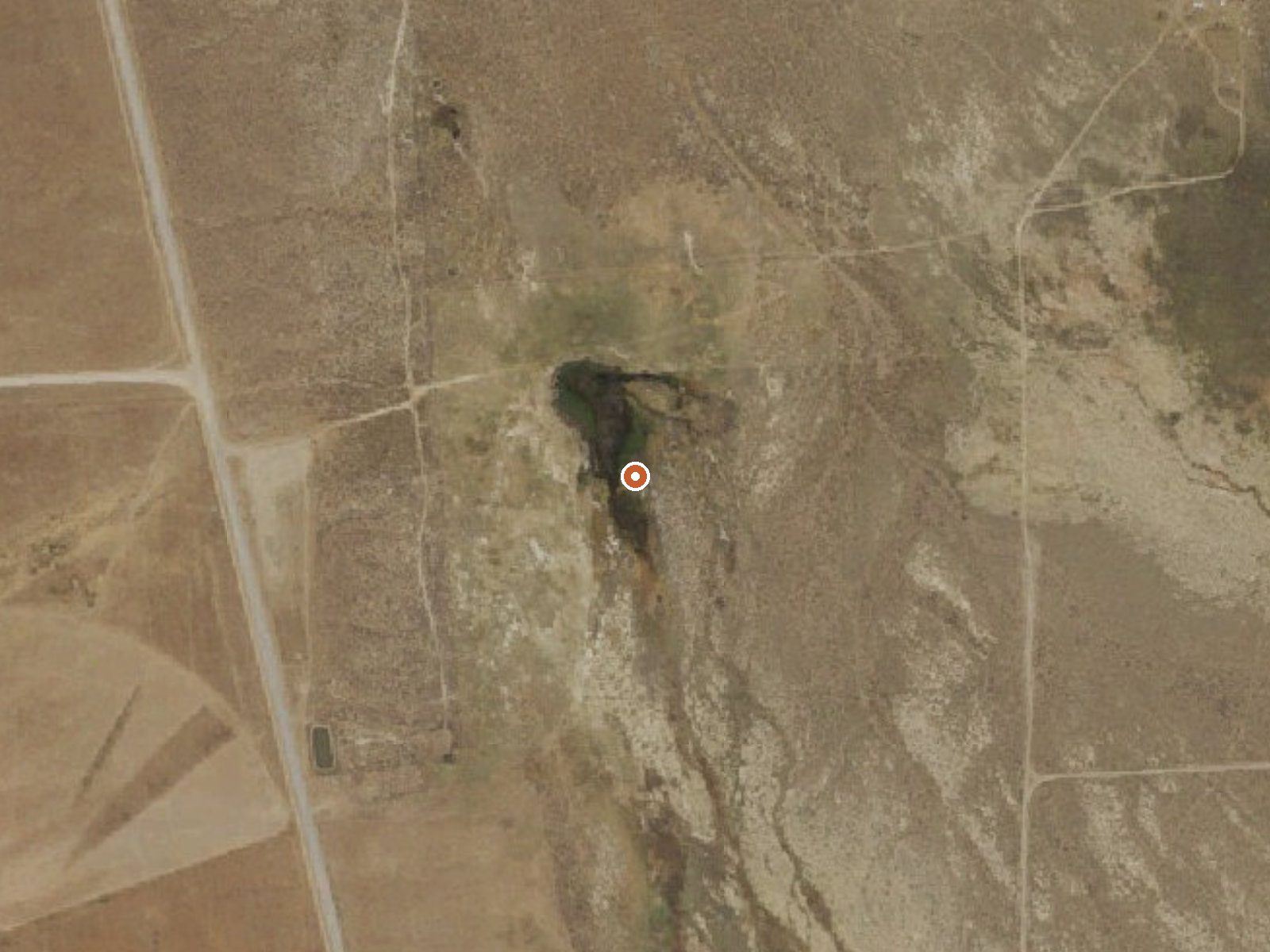
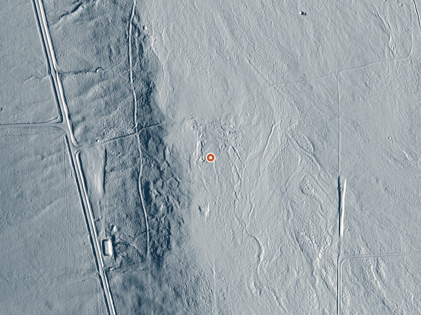
Drag the handle to compare the two views. The orange dot marks the spring, in a frame about three quarters of a mile wide.
- Setting
- Open ground
- Flat, open ground all around.
- Highest ground nearby
- 50 ft above the spring
- Within a quarter mile, to the west
A slice through the ground from west to east, about 0.6 miles end to end.
Elevation data: USGS 3D Elevation Program. Aerial imagery: USGS The National Map. Public domain.
That's about twice the US average of 65. It's higher than at 81% of the springs on this site.
Heat flow measures the warmth working its way up through the ground from deep inside the earth. Where it runs high, rain and snowmelt that seep down through cracks in the rock come back up hot.
See every spring on the geothermal heat map →
Heat flow estimate: Stanford Thermal Earth Model (Aljubran & Horne, 2024), CC BY 4.0.
Some links are affiliate links. We may earn a commission at no extra cost to you.
Overview Chilcoot Campground (5,100 feet) is located just downstream from Frenchman Lake alongside Last Chance Creek. The sound of flowing water along with shade from the surrounding pine and cottonwood forest are key features making this a great place to relax and enjoy the outdoors. Chilcoot Campground is one of five campgrounds in the popular Frenchman Lake Recreation Area of Northeastern California's Plumas National Forest. The campground is far enough away from the lake that visitors can...
Spring is road-accessible, so you can bring more gear.






As an Amazon Associate, we earn from qualifying purchases.
Springs Near Spring
More Springs Around 73°F
Hike 1 waterfall near Spring
Looking for more outdoor adventures? Explore waterfall hikes near Spring, Nevada.