Marsh Gully Hot Springs
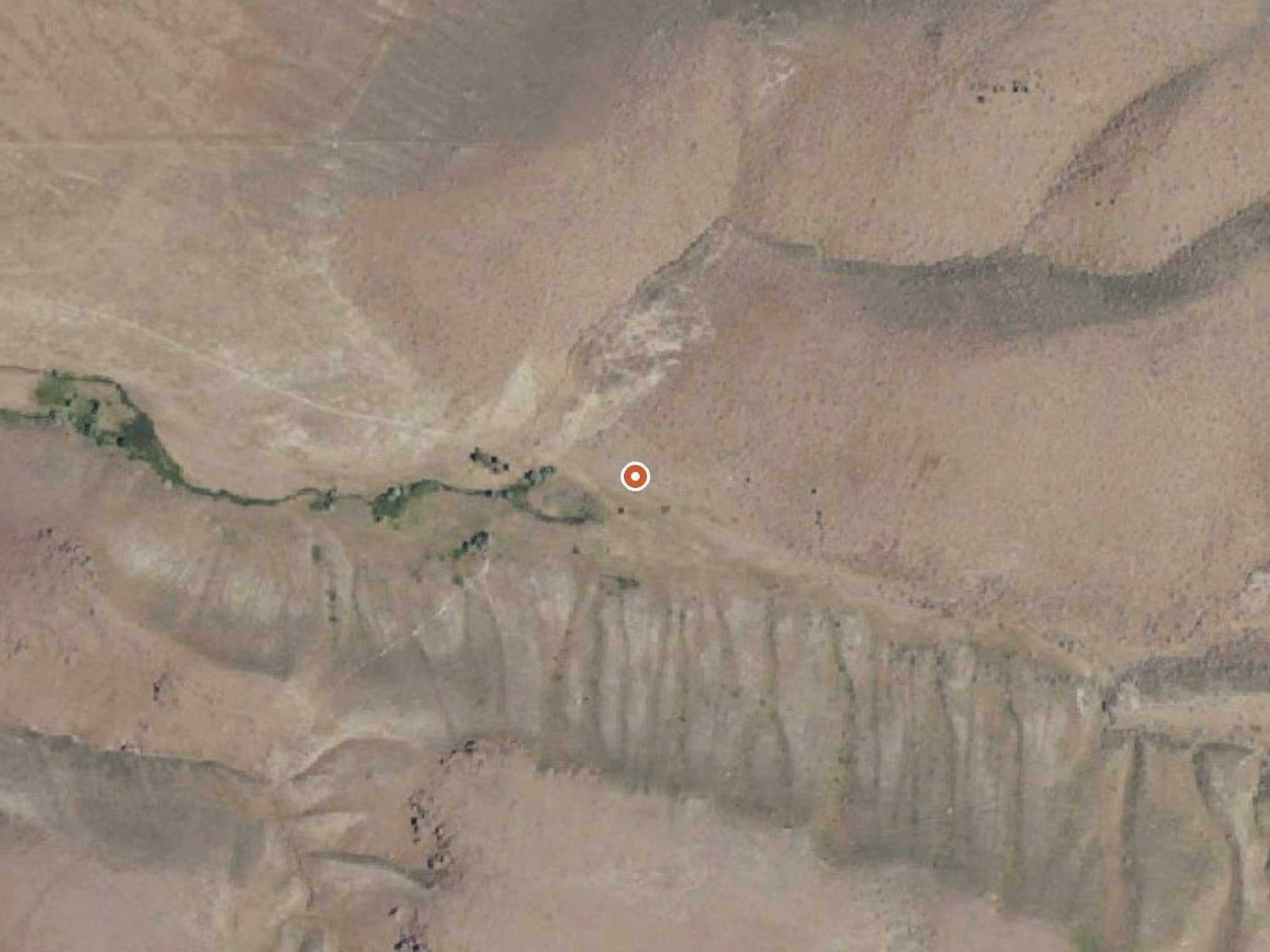
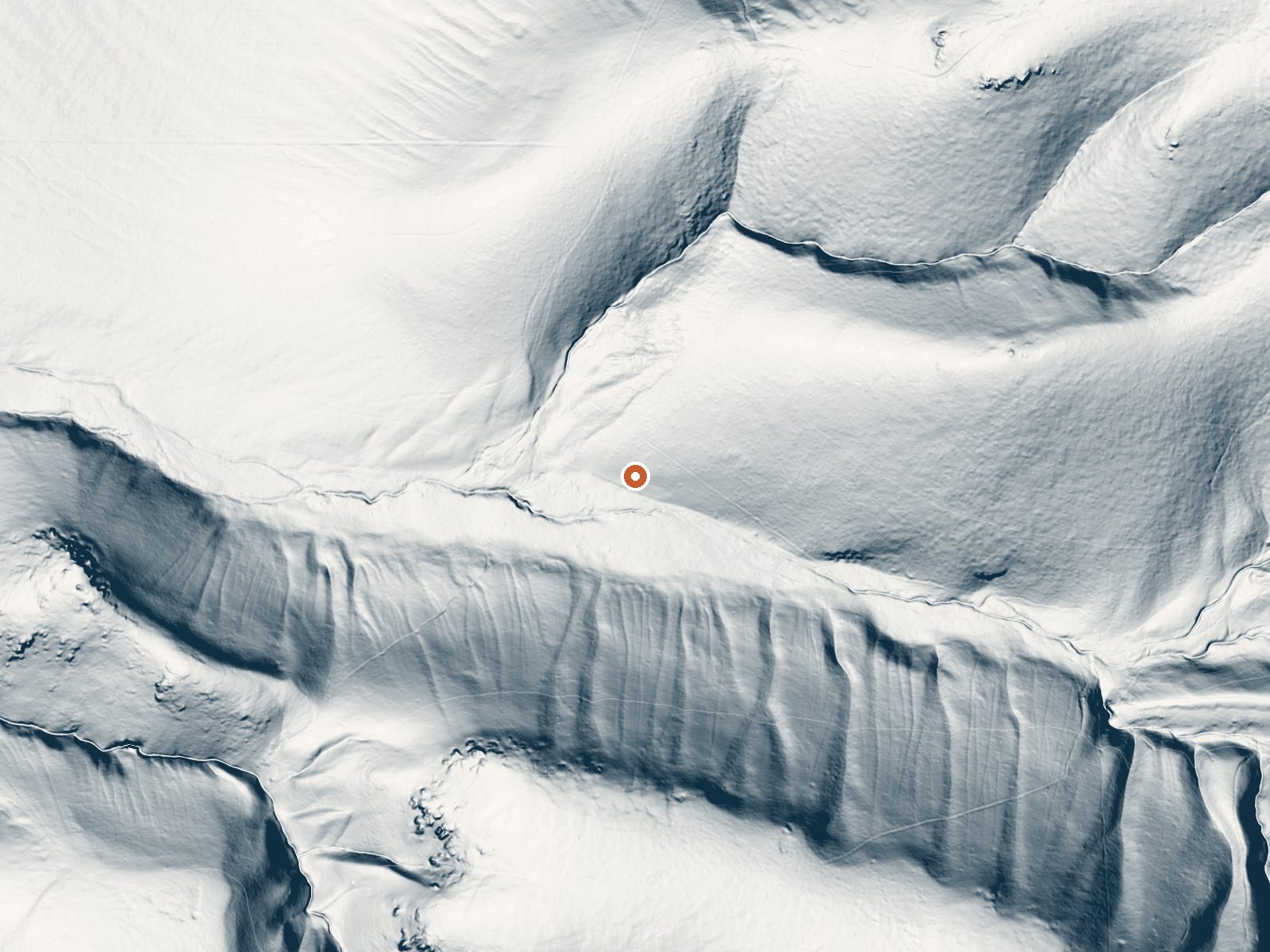
Drag the handle to compare the two views. The orange dot marks the spring, in a frame about three quarters of a mile wide.
Marsh Gully Hot Springs is a BLM thermal spring in Minidoka County, about fourteen miles from Rupert. The water surfaces a bit above body heat, warm enough to sit in as it comes. Access is on record as open, and the ground belongs to the Bureau of Land Management's Burley Field Office. There is no entry for a fee or for any development here, so assume an undeveloped source until you see otherwise.
High desert, dry enough that a year's precipitation would not fill a rain barrel. Winters drop a modest amount of snow, rarely enough to shut the area for long, and the ground sits a little under five thousand feet. Getting there means leaving the car and walking something over half a mile. Which road you start from is not named in the record.
The cold months rate best for this one, December through February especially, when the air bites and the water does not. Plan on the walk in. McClendon Spring Campground is the nearest developed camping, nine or ten miles off. the record is blank. Ask the Burley Field Office what the site looks like now, since nothing on file describes it on the ground.
Aircraft with laser scanners measured this ground to within inches. The scan strips out trees and buildings, leaving the bare shape of the land around Marsh Gully Hot Springs.
- Setting
- Canyon floor
- Steep ground climbs away on both sides of the spring.
- Highest ground nearby
- 346 ft above the spring
- Within a quarter mile, to the south
A slice through the ground from southwest to northeast, about 0.6 miles end to end.
Elevation data: USGS 3D Elevation Program. Aerial imagery: USGS The National Map. Public domain.
That's about 1½ times the US average of 65. It's higher than at 24% of the springs on this site.
Heat flow measures the warmth working its way up through the ground from deep inside the earth. Where it runs high, rain and snowmelt that seep down through cracks in the rock come back up hot.
See every spring on the geothermal heat map →
Heat flow estimate: Stanford Thermal Earth Model (Aljubran & Horne, 2024), CC BY 4.0.
Some links are affiliate links. We may earn a commission at no extra cost to you.
Explore the Cotterel Mountains or hunt for upland birds and deer near this semi-developed camping destination. McClendon Spring was a favorite resting place for emigrants along the California Trail.
Marsh Gully Hot Springs is road-accessible, so you can bring more gear.






As an Amazon Associate, we earn from qualifying purchases.
Springs Near Marsh Gully Hot Springs
More Springs Around 106°F
Hike 5 waterfalls near Marsh Gully Hot Springs
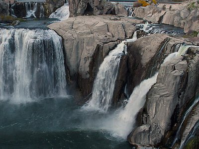
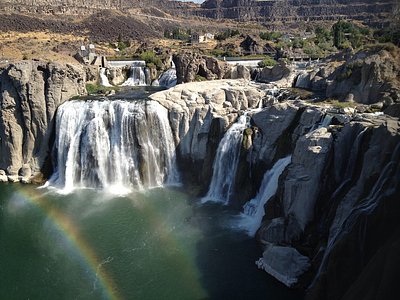
Looking for more outdoor adventures? Explore waterfall hikes near Marsh Gully Hot Springs, Idaho.