Mormon Reservoir Warm Spring
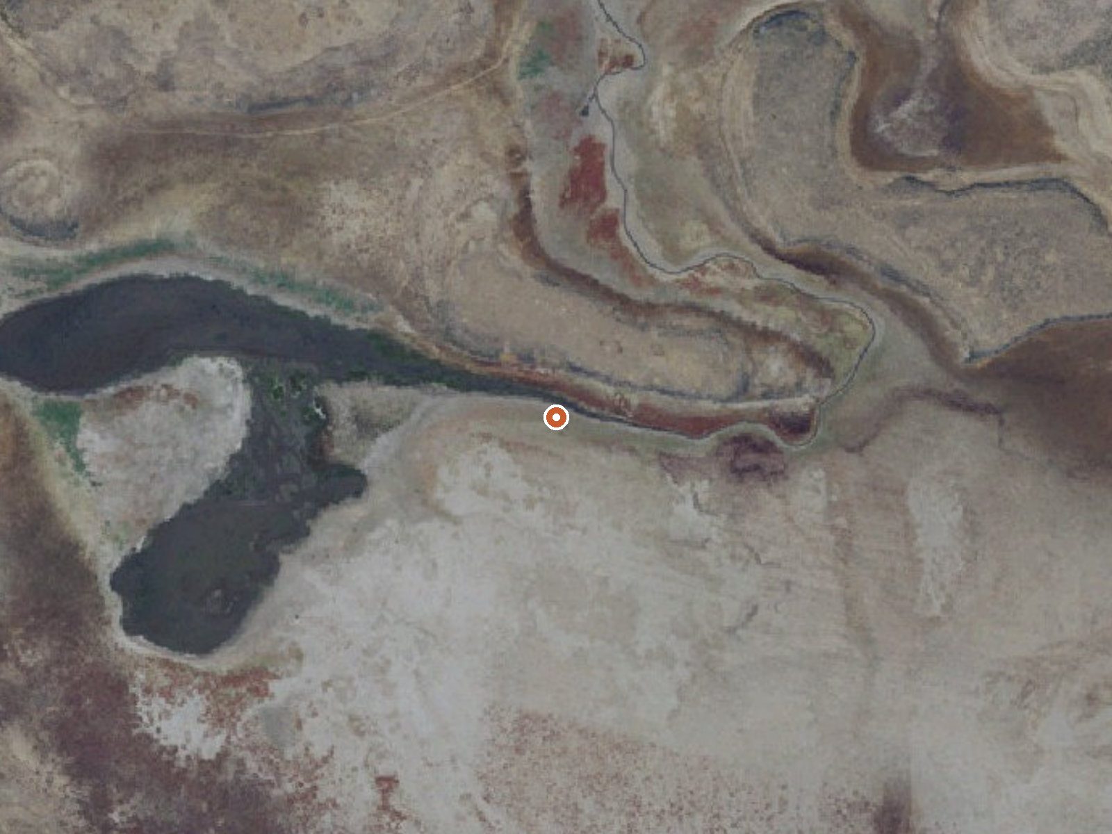
Drag the handle to compare the two views. The orange dot marks the spring, in a frame about three quarters of a mile wide.
Mormon Reservoir Warm Spring is a warm spring in Camas County, Idaho, between six and seven miles from Fairfield. The record is thin. It is classed as warm without a measured temperature, so there is no number to go on, and calling it a soak would be a guess. Owner and access are unrecorded, and no water chemistry was ever sampled as far as the record shows.
Four tenths of a mile of walking gets you there, off a road the record leaves nameless. Nobody wrote down the elevation. The land owner and land unit are blank too. Around Fairfield the climate stays cool and fairly dry, with something near fifty inches of snow over a winter. After the county and the distance into town, the record quits.
No best season is on record. Bowns Campground is the only camping listed, and it is a long way off, around twenty-four miles. No temperature means no heat warning either way. Treat everything about this spring as unconfirmed and learn who holds the ground before heading out.
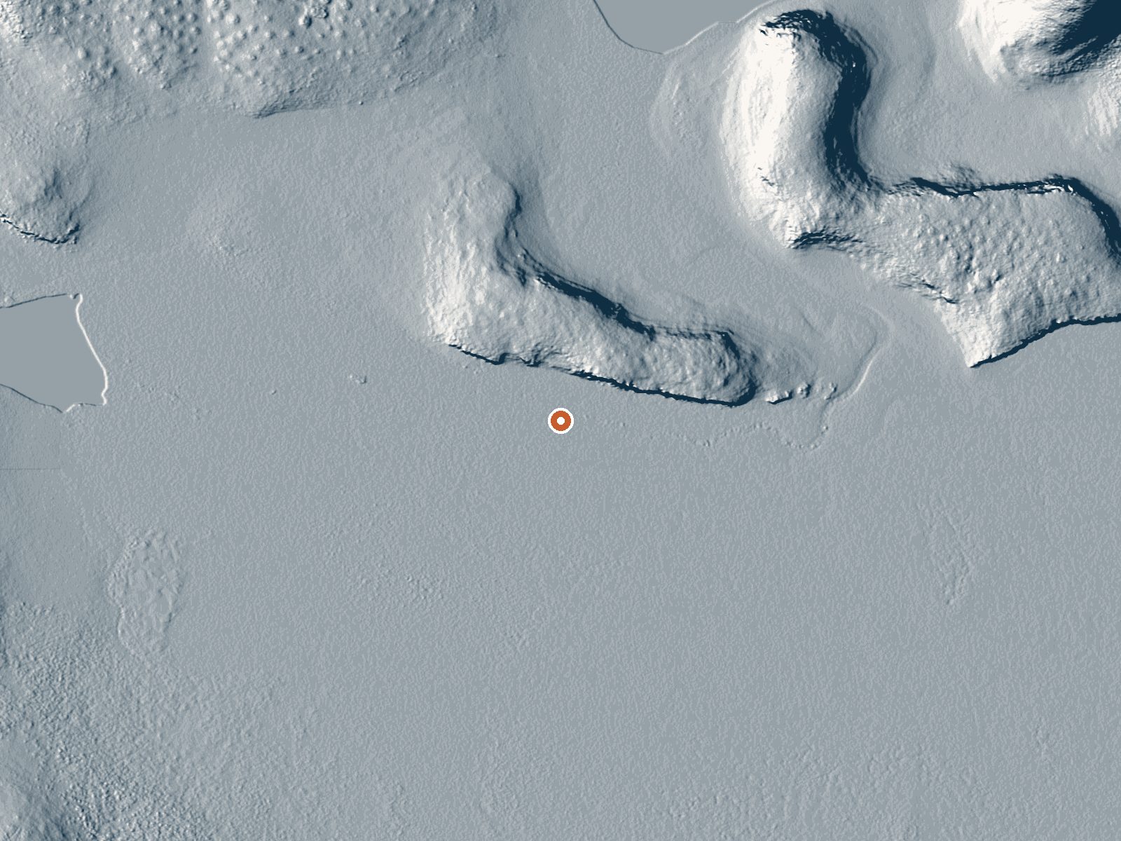
Aircraft with laser scanners measured this ground to within inches. The scan strips out trees and buildings, leaving the bare shape of the land around Mormon Reservoir Warm Spring.
- Setting
- Open ground
- Flat, open ground all around.
- Highest ground nearby
- 18 ft above the spring
- Within a quarter mile, to the northeast
A slice through the ground from southwest to northeast, about 0.6 miles end to end.
Elevation data: USGS 3D Elevation Program. Aerial imagery: USGS The National Map. Public domain.
That's about twice the US average of 65. It's higher than at 80% of the springs on this site.
Heat flow measures the warmth working its way up through the ground from deep inside the earth. Where it runs high, rain and snowmelt that seep down through cracks in the rock come back up hot.
See every spring on the geothermal heat map →
Heat flow estimate: Stanford Thermal Earth Model (Aljubran & Horne, 2024), CC BY 4.0.
Bowns Campground, located 25 miles east of Featherville and 18 miles north of Fairfield, is a developed campground composed of 10 units along Big Smoky Creek. Two of the camp sites are double family units. Camping, fishing, hiking, and picnicking are popular activities. Campground amenities include picnic tables, fire rings, drinking water (seasonally) and restrooms. Miller Creek Trail (#087) starts just south of the campground and is open to motorcycles.
Springs Near Mormon Reservoir Warm Spring
Hike 6 waterfalls near Mormon Reservoir Warm Spring
Looking for more outdoor adventures? Explore waterfall hikes near Mormon Reservoir Warm Spring, Idaho.