Teapot Hot Spring
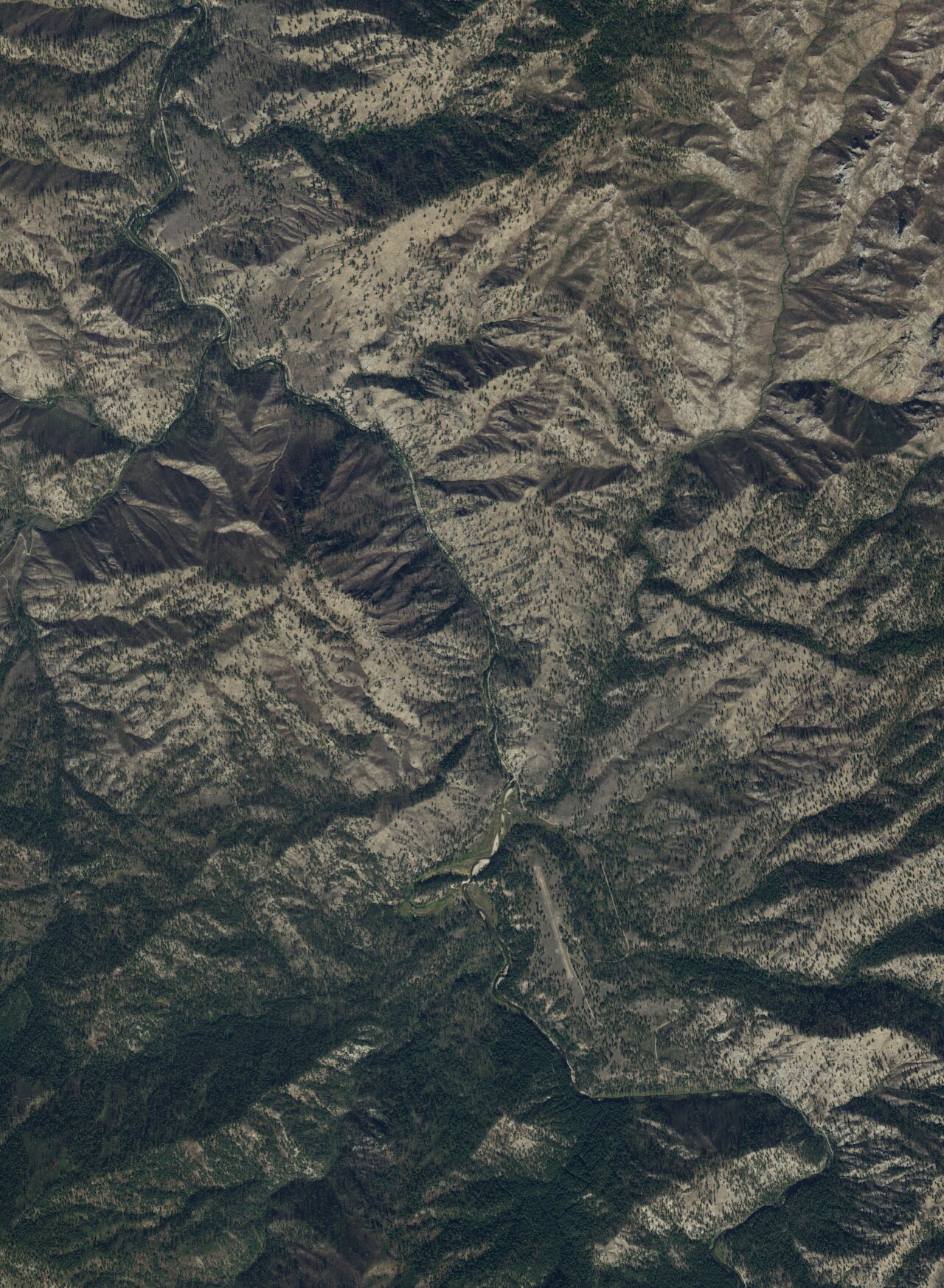
Teapot Hot Spring earns the name. Water comes up too hot to touch, over the line into scalding, on Payette National Forest land in Valley County, McCall being the nearest town at nineteen miles. The Forest Service has it down as open. The sample on file is strongly alkaline, with sodium, chloride, sulfate, calcium and magnesium detected. Anyone hoping to soak will need to find where the outflow has cooled, and nothing on record describes a pool.
South Fork Salmon River Road comes within about forty yards, so you park and you are there. Elevation stays under four thousand feet, and the winter is heavy all the same: a normal season drops twelve and a half feet of snow, with a wet climate through the rest of the year. National forest land.
December through February are listed as the best months, which on this road means snow. Johnson Creek Guard Station, twelve miles away, is the nearest overnight option on record. The water at the source will scald; test any pool with a hand before a foot, and do not sit in anything you have not tested. Temperature and chemistry date from a July 1982 survey.
Aircraft with laser scanners measured this ground to within inches. The scan strips out trees and buildings, leaving the bare shape of the land around Teapot Hot Spring.
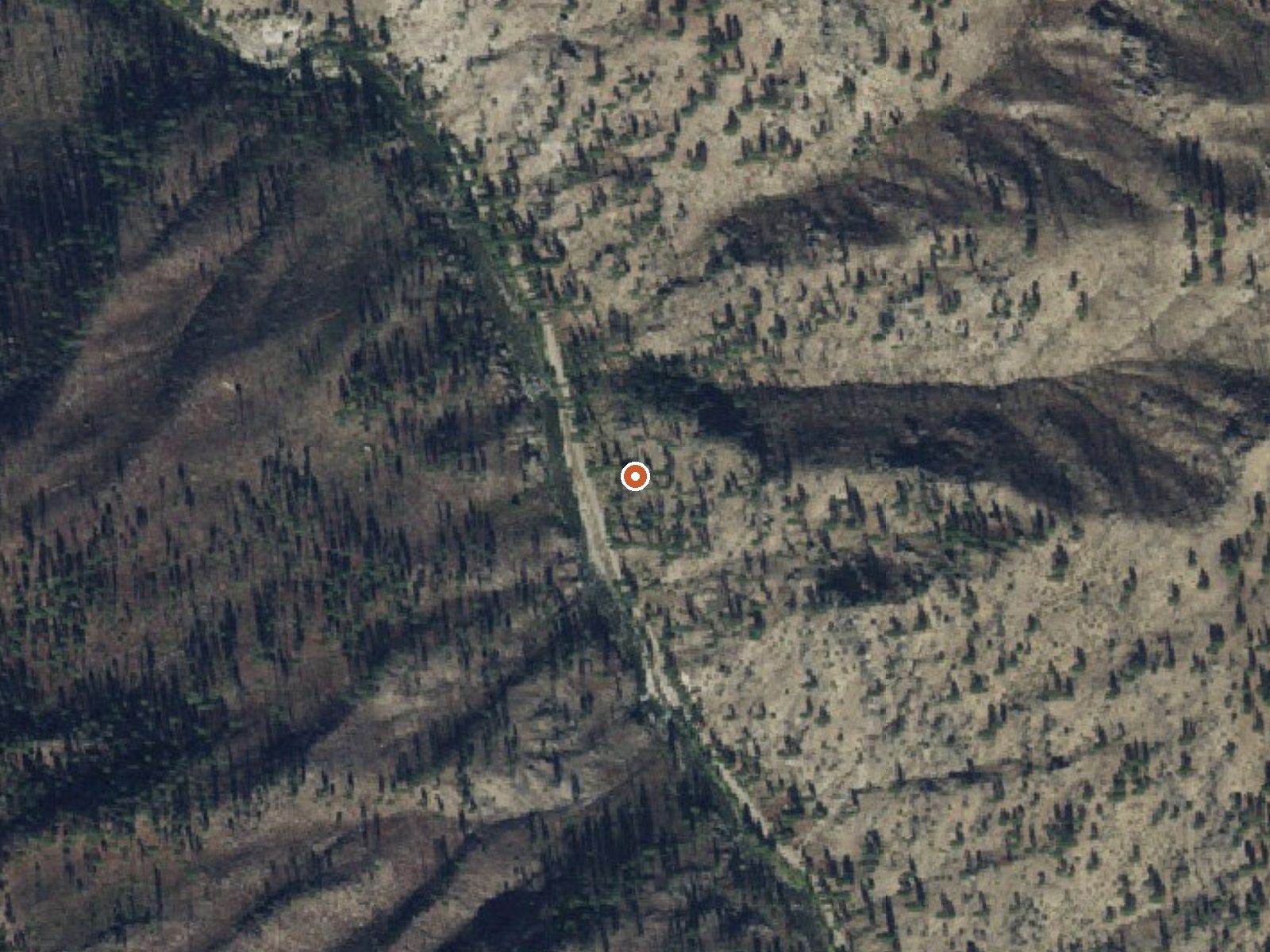
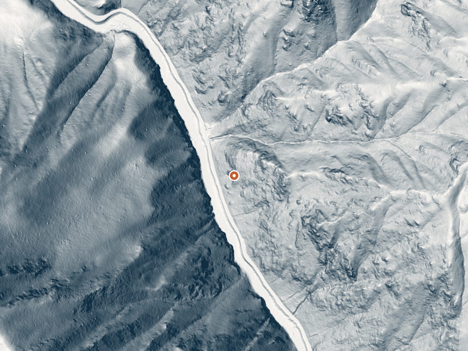
Drag the handle to compare the two views. The orange dot marks the spring, in a frame about three quarters of a mile wide.
- Setting
- Canyon floor
- Steep ground climbs away on both sides of the spring.
- Highest ground nearby
- 812 ft above the spring
- Within a quarter mile, to the east
A slice through the ground from southwest to northeast, about 0.6 miles end to end.
Elevation data: USGS 3D Elevation Program. Aerial imagery: USGS The National Map. Public domain.
That's about 1½ times the US average of 65. It's higher than at 31% of the springs on this site.
Heat flow measures the warmth working its way up through the ground from deep inside the earth. Where it runs high, rain and snowmelt that seep down through cracks in the rock come back up hot.
See every spring on the geothermal heat map →
Heat flow estimate: Stanford Thermal Earth Model (Aljubran & Horne, 2024), CC BY 4.0.
The water at Teapot Hot Spring is alkaline (pH 9.3).
Some links are affiliate links. We may earn a commission at no extra cost to you.
Overview Johnson Creek Guard Station was built in 1922 and offers a charming mountain respite with modern conveniences. The cabin offers nearly everything needed for a pleasant and comfortable stay. Peak season for the cabin is typically early June through late September. It can be accessed by most vehicles via dirt and gravel roads, but trailers are not recommended.Recreation The cabin is near several trailheads into the Frank Church - River of No Return Wilderness. These non-motorized tr...
Teapot Hot Spring is road-accessible, so you can bring more gear. The water is dangerously hot, so bring water shoes and test pools carefully.





As an Amazon Associate, we earn from qualifying purchases.
Springs Near Teapot Hot Spring
More Springs Around 142°F
Alkaline Springs (pH ~9.3)
Hike 6 waterfalls near Teapot Hot Spring
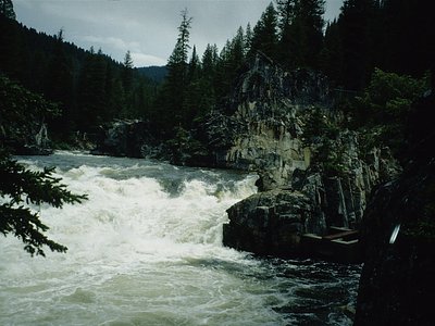
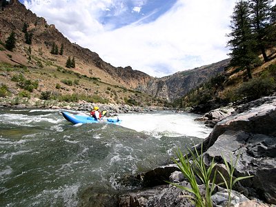
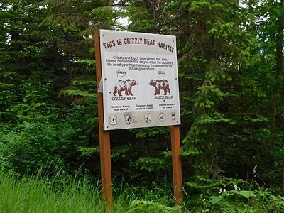
Looking for more outdoor adventures? Explore waterfall hikes near Teapot Hot Spring, Idaho.