Bigelow Hot Springs
Also called Deer Creek Hot Springs, Bigelow sits on the bank of the McKenzie River in the Willamette National Forest, Deschutes County, about twenty-five miles from Sisters. The source water is at the edge of scalding, yet the pools themselves are riverside rock rings that the McKenzie tempers, and the dissolved solids reading is very low. Forest Service land, open access.
Deer Creek Road ends within a few hundred feet. Wikipedia describes a rock ring holding a foot or two of water over coarse sand. In winter and spring the river rises, merges the pools into one, and floods them with cold water, so the soak depends on the season. Wet country, heavy snow, mid elevation. Olallie campground on the McKenzie Highway is the nearest listed, a mile and a half or so.
The record favors December through February, but that is when Wikipedia says high water swamps the pools, so take the best-months line with some salt. Test the water near the inflow, since the source runs hot enough to scald. Water chemistry dates from 2004. Open access, no fee listed.
Wikipedia lists it as Deer Creek Hot Springs with Bigelow as the second name. OpenStreetMap has it as Bigelow Hot Spring, singular. The USGS keeps it on its list of thermal sites as well, under a number of its own.
Aircraft with laser scanners measured this ground to within inches. The scan strips out trees and buildings, leaving the bare shape of the land around Bigelow Hot Springs.
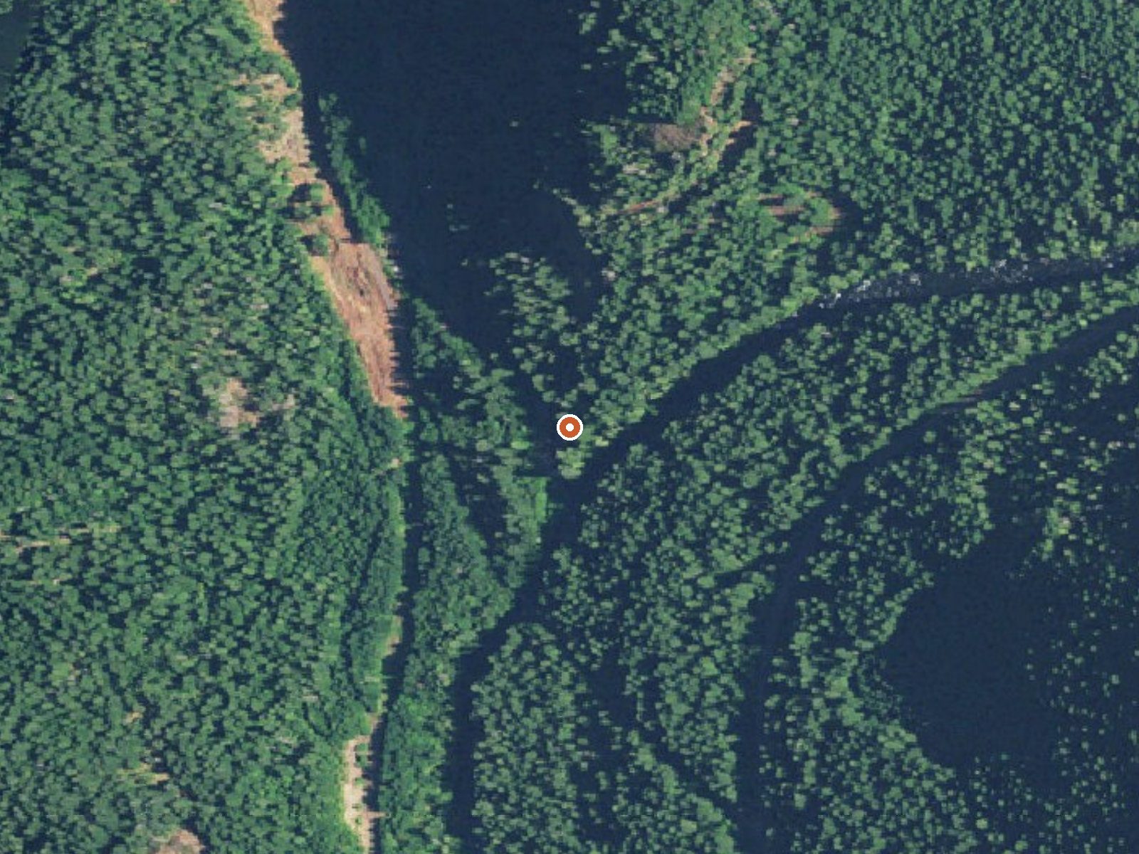
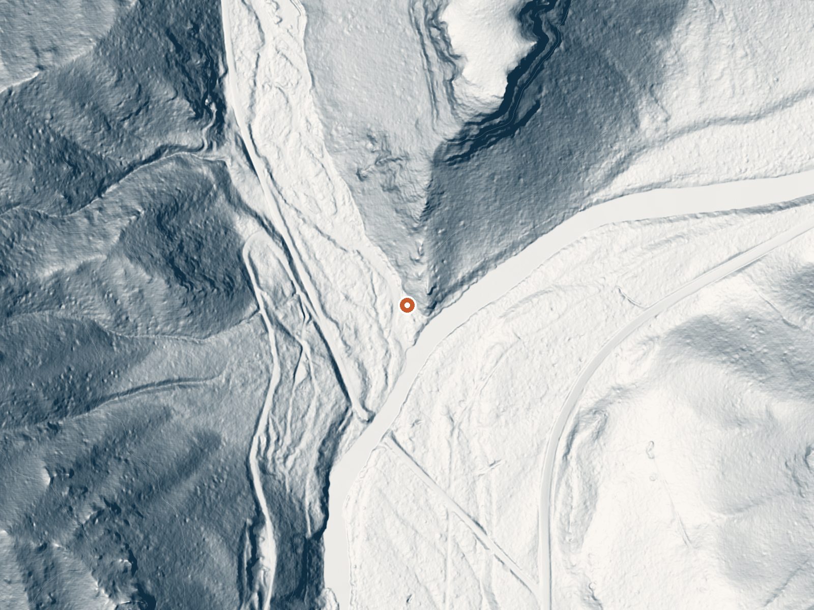
Drag the handle to compare the two views. The orange dot marks the spring, in a frame about three quarters of a mile wide.
- Setting
- Canyon floor
- Steep ground climbs away on both sides of the spring.
- Highest ground nearby
- 654 ft above the spring
- Within a quarter mile, to the northeast
A slice through the ground from west to east, about 0.6 miles end to end.
Elevation data: USGS 3D Elevation Program. Aerial imagery: USGS The National Map. Public domain.
That's about 1½ times the US average of 65. It's higher than at 19% of the springs on this site.
Heat flow measures the warmth working its way up through the ground from deep inside the earth. Where it runs high, rain and snowmelt that seep down through cracks in the rock come back up hot.
See every spring on the geothermal heat map →
Heat flow estimate: Stanford Thermal Earth Model (Aljubran & Horne, 2024), CC BY 4.0.
The water at Bigelow Hot Springs is slightly alkaline (pH 7.6) with 49 mg/L total dissolved solids.
Some links are affiliate links. We may earn a commission at no extra cost to you.
Overview Nestled on the banks of the McKenzie River and Olallie Creek, Olallie Campground provides a superb setting for a getaway into nature. The lower loop offers mesmerizing views of both the river and the creek while the upper loop is set further in the trees with many sites facing the creek. The McKenzie River is a tributary of the Willamette River that runs for 90 miles, flowing into the southernmost end of the Willamette Valley. There are 16 campsites, for which 15 are reservable. Si...
Bigelow Hot Springs is road-accessible, so you can bring more gear. The water is dangerously hot, so bring water shoes and test pools carefully.





As an Amazon Associate, we earn from qualifying purchases.
Springs Near Bigelow Hot Springs
More Springs Around 142°F
Slightly Alkaline Springs (pH ~7.6)
Hike 6 waterfalls near Bigelow Hot Springs
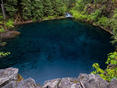

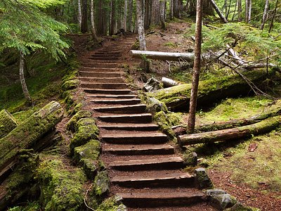
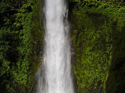
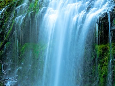
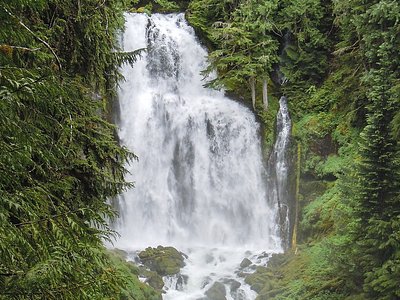
Looking for more outdoor adventures? Explore waterfall hikes near Bigelow Hot Springs, Oregon.