Foley Springs
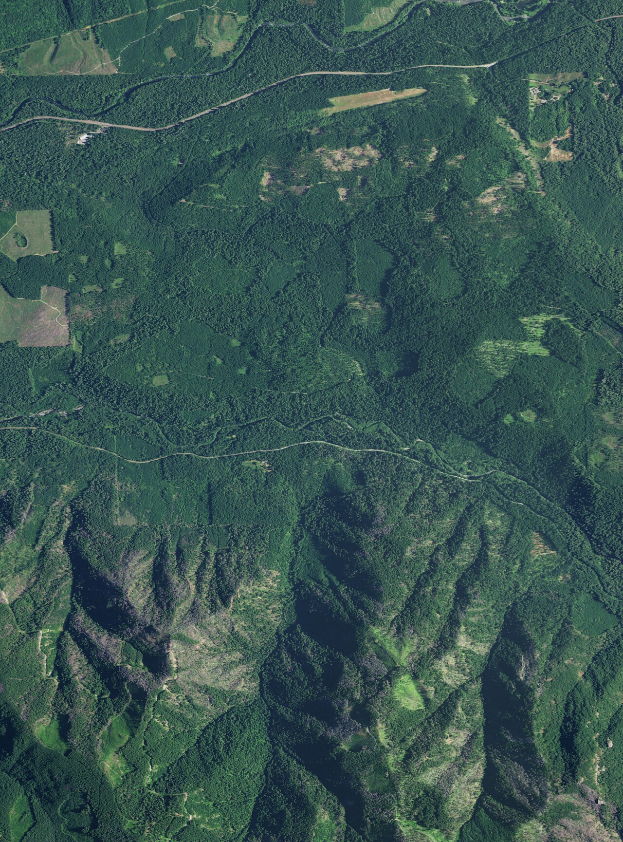
Foley Springs is a scalding spring in Lane County, out on the wet western flank of the Cascades, thirty-odd miles from Oakridge. What comes up is hotter than a cup of tea you would wait on. USGS has sampled the water and found a heavy mineral load, sulfate especially. A photo is on record. Ownership and access are both unrecorded.
Horse Creek Road comes within a few hundred feet, so the walk is short. The spring sits low, under two thousand feet, yet winters still pile up around thirteen feet of snow, and the year brings more than five feet of rain. Very wet country. No agency or land unit appears.
The listed best months run December through February, a snowy time on Horse Creek Road. Paradise in Oregon campground is close, a bit over two miles. Contact means an instant scald, so keep well away from the source and mind your footing. The mineral sample is from 2002 and nothing newer is on file.
Aircraft with laser scanners measured this ground to within inches. The scan strips out trees and buildings, leaving the bare shape of the land around Foley Springs.
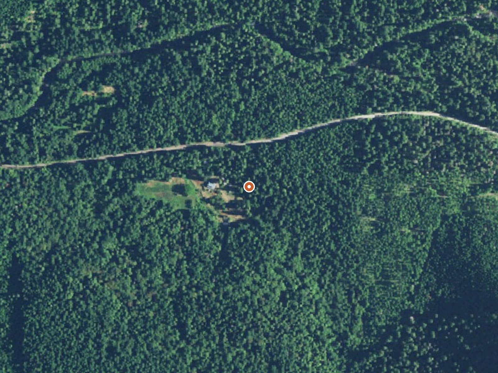
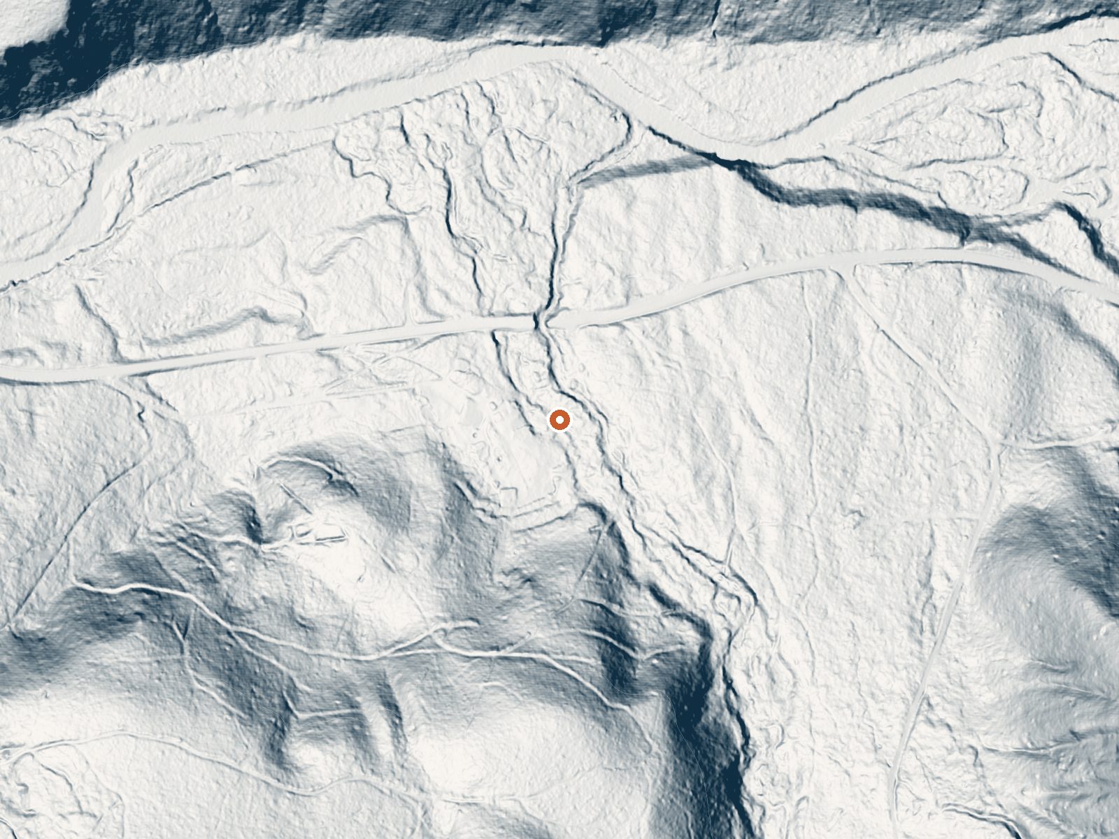
Drag the handle to compare the two views. The orange dot marks the spring, in a frame about three quarters of a mile wide.
- Setting
- Hillside
- The spring sits on a steep slope that climbs to the south.
- Highest ground nearby
- 322 ft above the spring
- Within a quarter mile, to the south
A slice through the ground from south to north, about 0.6 miles end to end.
Elevation data: USGS 3D Elevation Program. Aerial imagery: USGS The National Map. Public domain.
That's about 1½ times the US average of 65. It's higher than at 18% of the springs on this site.
Heat flow measures the warmth working its way up through the ground from deep inside the earth. Where it runs high, rain and snowmelt that seep down through cracks in the rock come back up hot.
See every spring on the geothermal heat map →
Heat flow estimate: Stanford Thermal Earth Model (Aljubran & Horne, 2024), CC BY 4.0.
The water at Foley Springs contains 3172 mg/L total dissolved solids. It is notably rich in sulfate (traditionally used for skin conditions and inflammation) and total dissolved solids (higher mineral concentration for therapeutic soaking).
Some links are affiliate links. We may earn a commission at no extra cost to you.
Overview Paradise Campground is indeed a paradise for campers. Tucked within a lush, old-growth forest of Douglas fir and western red cedar, the area portrays a sub-tropical vibe along the banks of the McKenzie River, where catch-and-release trout and steelhead fishing is a popular activity, along with whitewater rafting and kayaking.Recreation Rafters and kayakers live it up in the whitewater of the McKenzie River. A boat ramp is located on-site. The McKenzie River National Recreation Trail...
Foley Springs is road-accessible, so you can bring more gear. The water is dangerously hot, so bring water shoes and test pools carefully.





As an Amazon Associate, we earn from qualifying purchases.
Springs Near Foley Springs
More Springs Around 178°F
Hike 6 waterfalls near Foley Springs
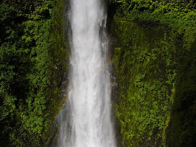
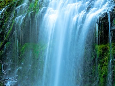
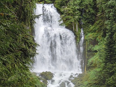

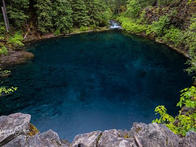
Looking for more outdoor adventures? Explore waterfall hikes near Foley Springs, Oregon.