Mccredie Springs
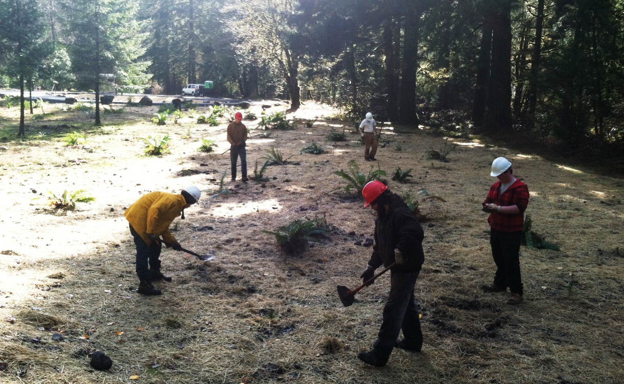
McCredie Springs is a hot springs site and former resort in the Willamette National Forest east of Oakridge, in Lane County. Where the water emerges it is scalding, far too hot to touch. Access is open and the springs sit nearly on the road. OpenStreetMap labels the spot McCredie Hot Springs, North Bank, which tells you at least that there is a creek to be on one side of.
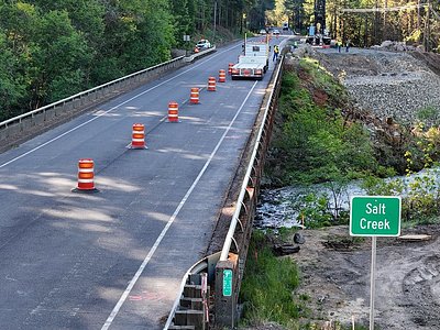
Forest Road 5874 passes within about sixty feet, so this is a park-and-walk-over kind of place on Forest Service land. The elevation is low for the Cascades, around two thousand feet, and the climate is wet. Rain approaches sixty inches a year, and winter snow piles well past a hundred inches. Wikipedia puts the springs along Salt Creek near Oregon Route 58.
The winter months are flagged as best, which on a wet, snowy forest road means checking conditions first. Source water is hot enough to scald, so test any pool before getting in. Packard Creek campground lies about seven miles away. No fee is on record.
Wikipedia lists McCredie Springs as a former resort in Lane County, about ten miles east of Oakridge and fifty from Eugene, inside the Willamette National Forest. The natural hot springs along Salt Creek are what the place is known for today.
USGS hasn't flown a detailed laser scan here yet, so this view comes from aerial photos and older elevation data.
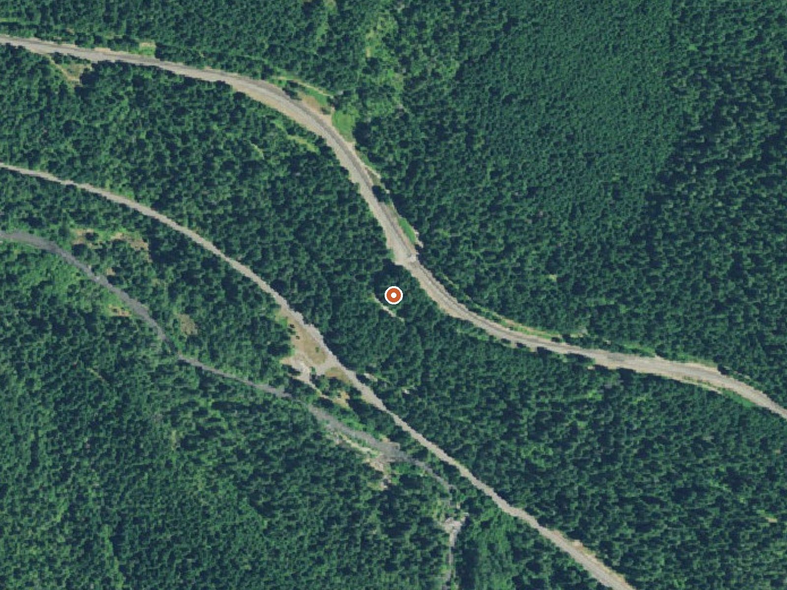
The orange dot marks the spring, in a frame about three quarters of a mile wide.
- Setting
- Valley floor
- Gentle slopes rise on both sides.
- Highest ground nearby
- 204 ft above the spring
- Within a quarter mile, to the east
A slice through the ground from west to east, about 0.6 miles end to end.
Elevation data: USGS 3D Elevation Program. Aerial imagery: USGS The National Map. Public domain.
That's about 1½ times the US average of 65. It's higher than at 21% of the springs on this site.
Heat flow measures the warmth working its way up through the ground from deep inside the earth. Where it runs high, rain and snowmelt that seep down through cracks in the rock come back up hot.
See every spring on the geothermal heat map →
Heat flow estimate: Stanford Thermal Earth Model (Aljubran & Horne, 2024), CC BY 4.0.
Some links are affiliate links. We may earn a commission at no extra cost to you.
Overview Packard Creek is a popular campground on the western side of Hills Creek Reservoir. The family-friendly destination offers a picturesque setting among tall trees, with views of the lake beyond. Most of the campground is accessible.Recreation Larison Creek Trail is excellent for mountain biking, horseback riding and hiking. It meanders along Larison Cove and Larison Creek, through lush vegetation of hemlock, Douglas fir and red cedar. Visitors also enjoy boating, swimming and fishin...
Mccredie Springs is road-accessible, so you can bring more gear. The water is dangerously hot, so bring water shoes and test pools carefully.





As an Amazon Associate, we earn from qualifying purchases.
Springs Near Mccredie Springs
More Springs Around 163°F
Hike 6 waterfalls near Mccredie Springs
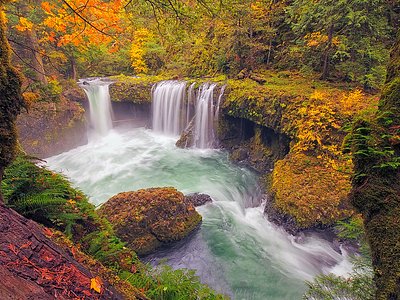

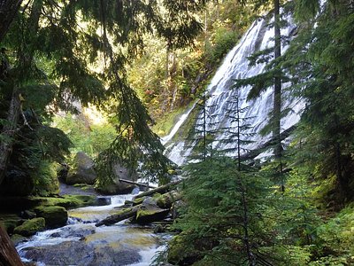
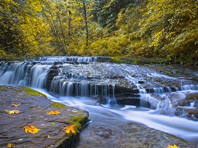
Looking for more outdoor adventures? Explore waterfall hikes near Mccredie Springs, Oregon.